Hadrian’s Wall

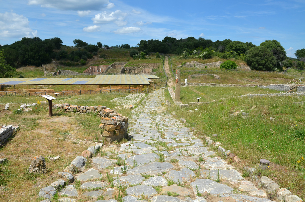
Hadrian’s Wall is the most important monument built by the Romans in Britain. The Wall was the north-west frontier of the Roman empire for nearly 300 years. It was built by the Roman army on the orders of Hadrian following his visit to Britain in AD 122. At 117 kilometres long (80 Roman miles), it crossed northern Britain from Wallsend on the River Tyne in the east to Bowness-on-Solway in the west. Frontier installations continued for a further 40 kilometres down the Cumbrian coast.

The route of the Wall © Newcastle University

Considered as the most famous of all the frontiers of the Roman empire, Hadrian’s Wall stands today as a reminder of the past glories of one of the world’s greatest powers. Hadrian’s Wall was made a World Heritage Site in 1987 and is part of the transnational Frontiers of the Roman Empire WHS (see here), inscribed in 2005 and currently comprising Hadrian’s Wall, the German Limes and the Antonine Wall in Scotland.

Milecastle 39 (Castle Nick). The milecastles along Hadrian’s Wall are numbered from 1 to 80, east to west.

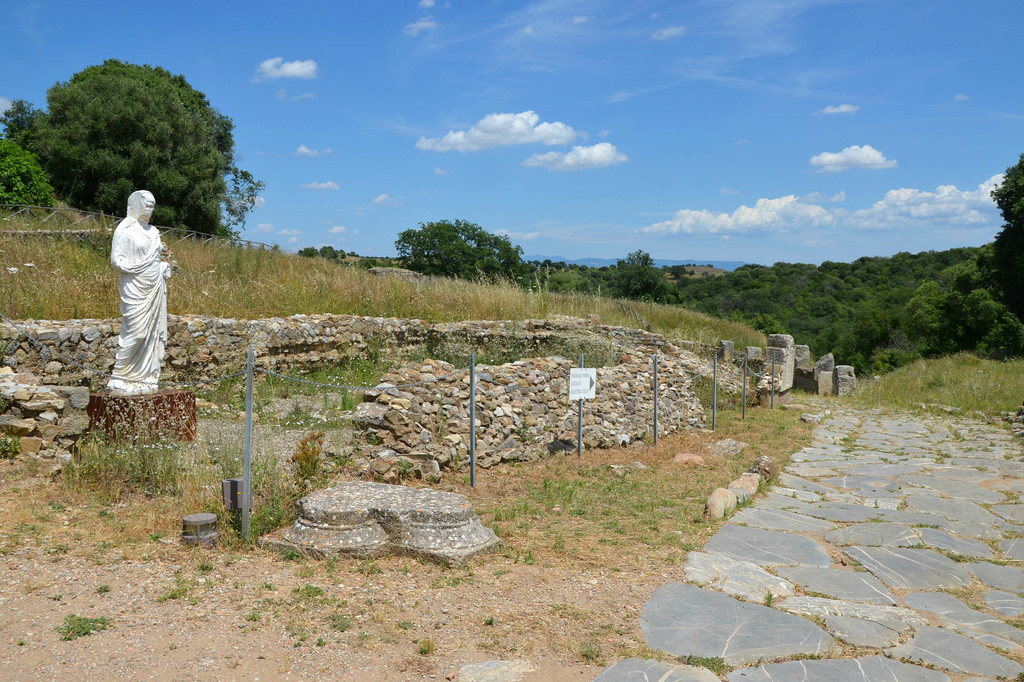
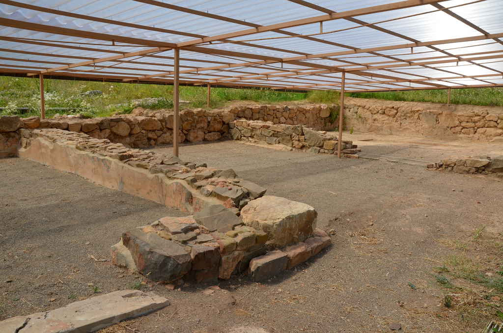
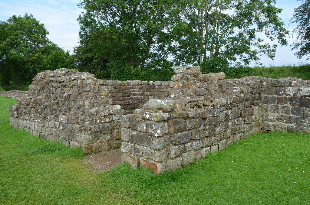
The original plan was for a wall of turf in the west and stone in the east, with small forts (milecastles) at intervals of a Roman mile, and two observation towers (turrets) in between the milecastles. These were installations where small groups of soldiers could be outposted in areas where there were concerns about security. Size varied, but in general, they were about 15m by 18m internally, with stone walls as much as 3m thick and probably 5m to 6m high, to match the height of the adjacent wall. There were 80 milecastles and 158 turrets.

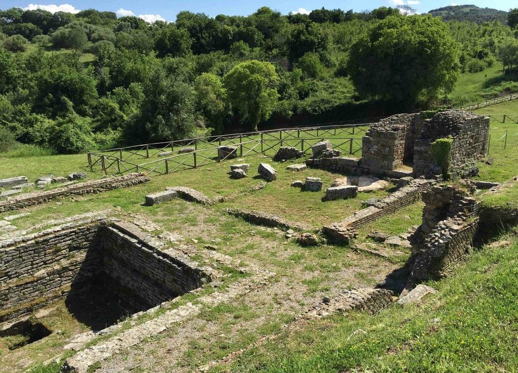
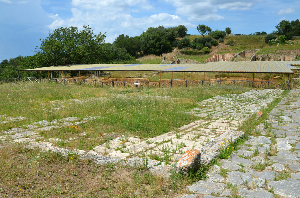
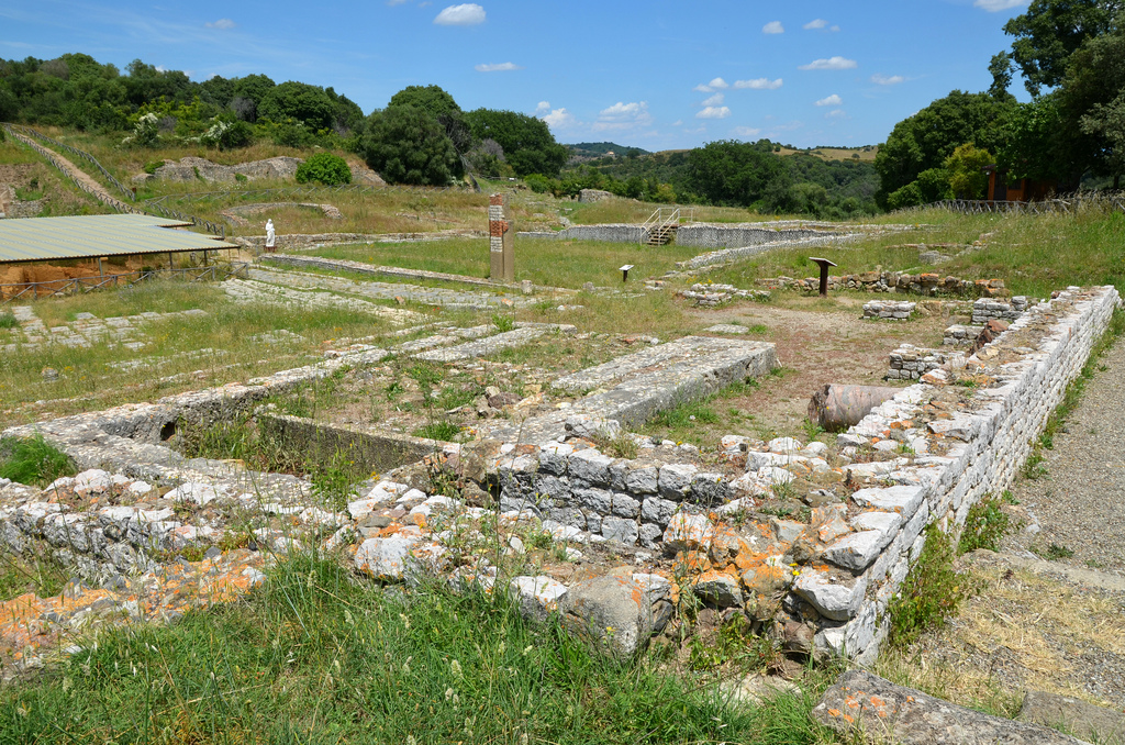
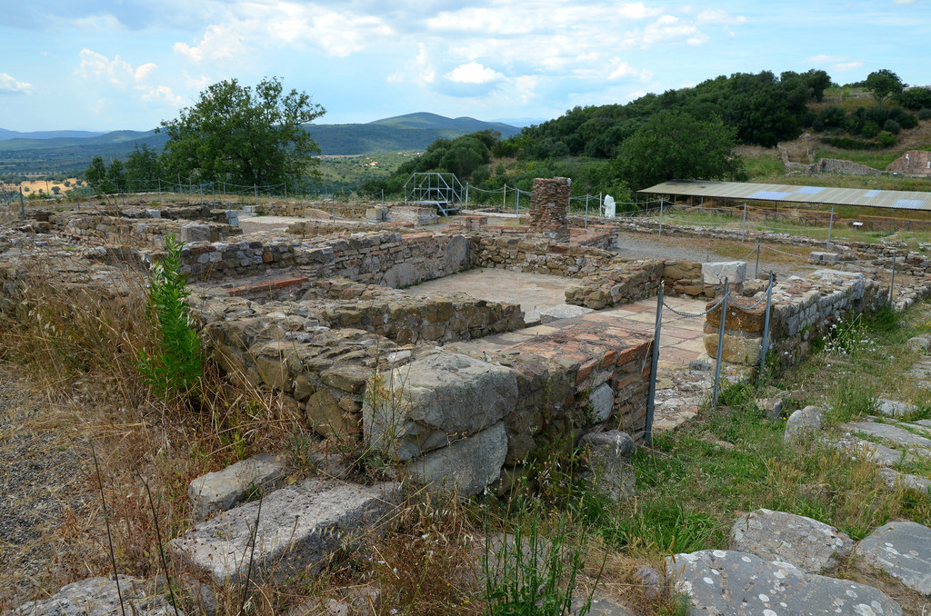
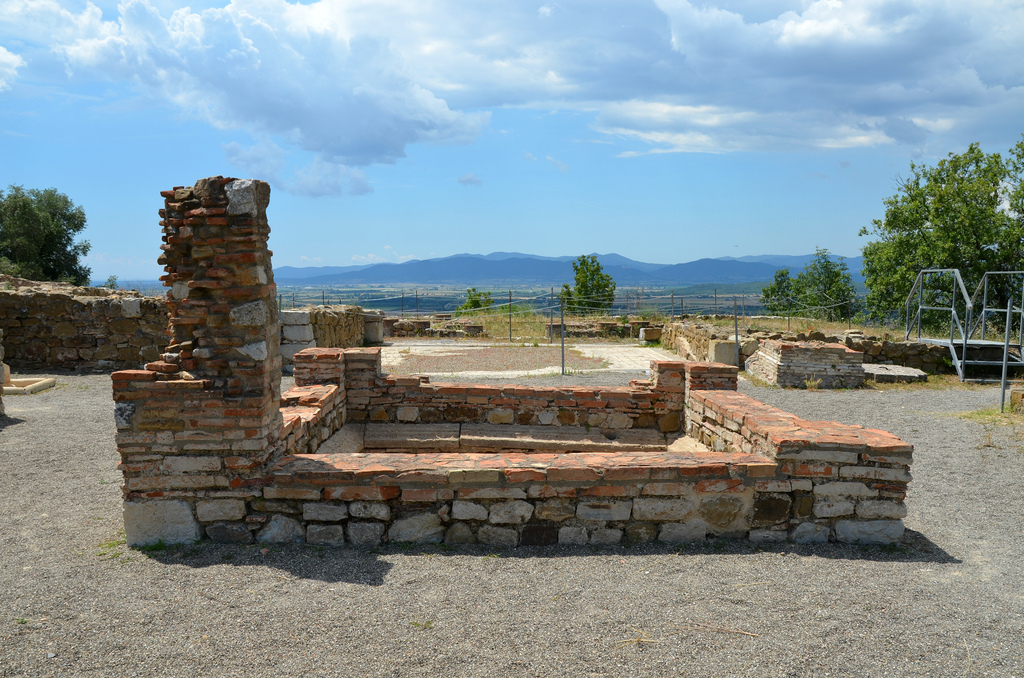
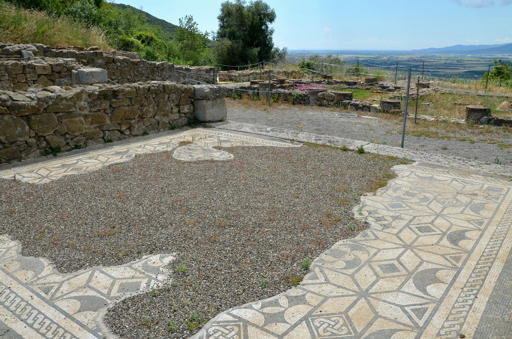
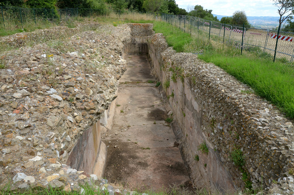
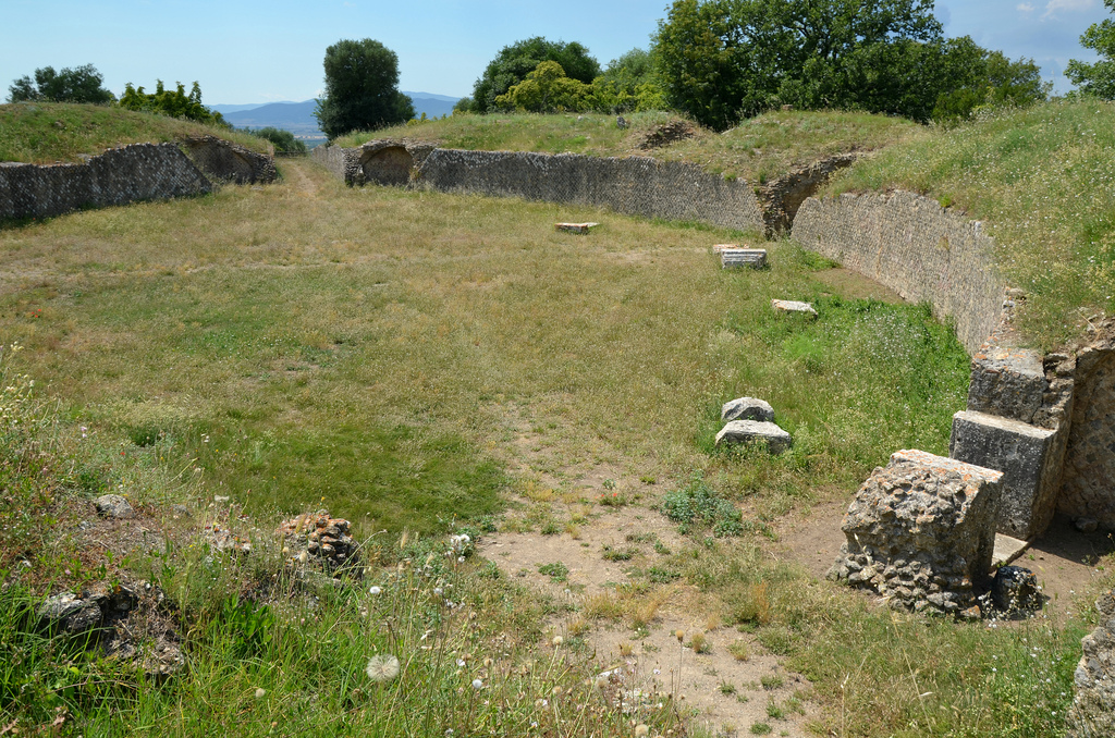
To the north lay a broad and deep ditch, except where the lie of the land made this unnecessary. Forts were added along the length of the wall, including Vercovicium (Housesteads) and Banna (Birdoswald), each holding between 500 and 1,000 auxiliary troops, and a great earthwork, known as the Vallum, was constructed a short distance south of the Wall. Some of the larger forts along the wall, such as Cilurnum (Chesters), were built on top of the footings of milecastles or turrets, showing a change of plan.

The vallum at Hadrian’s Wall near Milecastle 42 (Cawfields).
It was built within a few years of the Wall, blocking almost all access to the Wall from the south, and then slighted (cut through) when the army moved into Scotland.

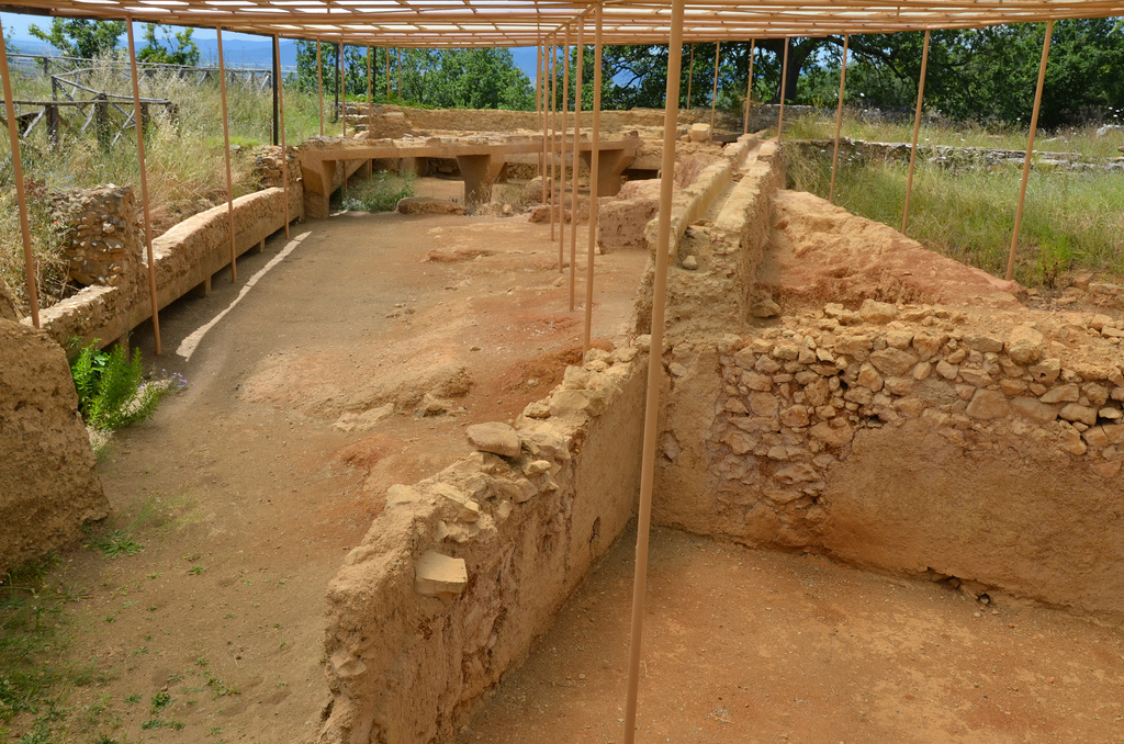
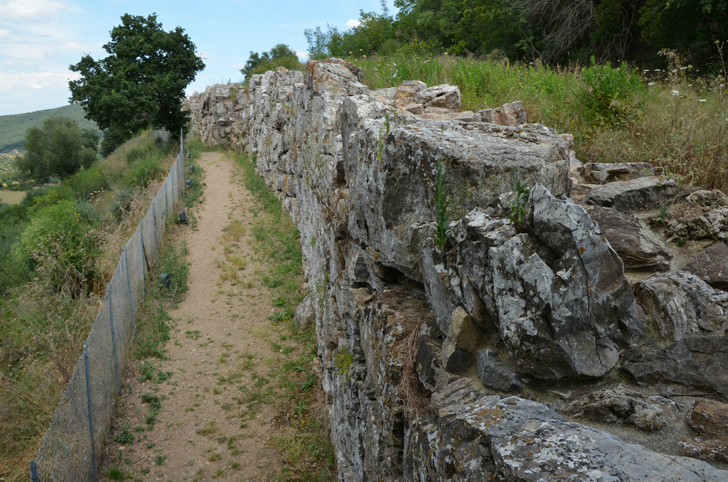
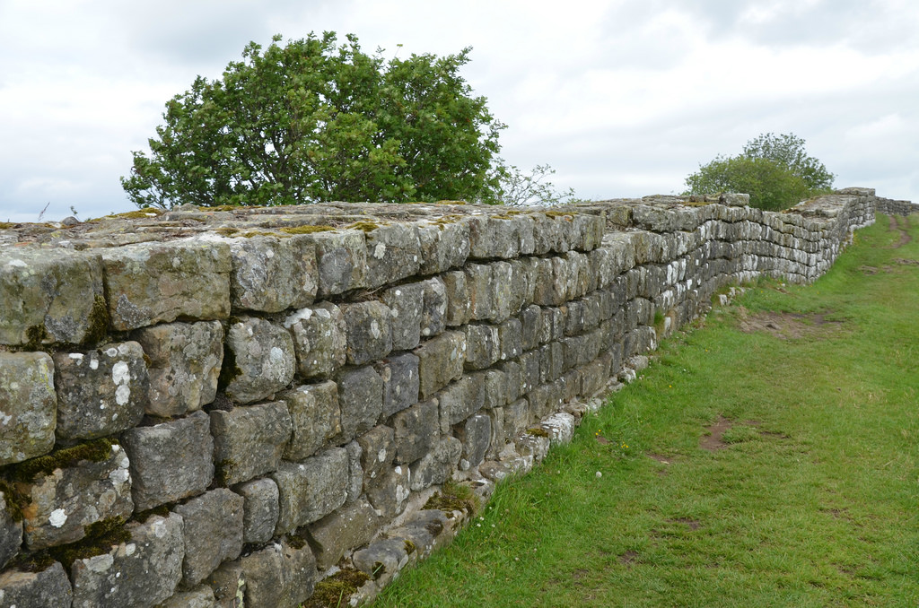
The construction of Hadrian’s Wall was a major feat of engineering. Soldiers from three legions are known to have helped build the Wall, Legio VI Victrix (which arrived in Britain c. AD 122, just in time to start work on the Wall), Legio XX Valeria Victrix and Legio II Augusta. Other soldiers from the provincial army helped. It stood up to 4.4 metres high in places with walls 3 meters wide and was built by a force of no more than 15,000 men in under six years. It had dressed facing stones in a soft mortar and a core of earth or clay with stones. There is some evidence that there was a wall-walk and parapet along its top. The Wall underwent various changes over time. Changes in design from a broad wall through to a later adoption of a narrower gauge wall, and subsequent rebuilding in the 3rd century AD.

Banks East Turret 52a.
Banks East in Cumbria is the best preserved turret in the western sector of Hadrian’s Wall where the Wall was originally built from turf.
North gate arch of Milecastle 37 (Housesteads).

Up until at least the 1850s, it was thought that Septimius Severus built the wall during his failed attempts to finally bring all of Britain under Roman control while Hadrian was credited with building the Vallum. However, the Milecasle 38 stone inscription, found in the mid-1700s, proves that Hadrian commissioned the wall that now bears his name. The inscription, probably made and erected to mark the completion of the milecastle, bears the names of the emperor Hadrian and Aulus Platorius Nepos (Governor of Britannia during Hadrian’s reign), as well as Legio II Augusta (Second Augustan Legion). It is on display at the Great North Museum in Newcastle.

Milecastle 38 inscription proving that Hadrian commissioned the wall that now bears his name. Great North Museum, Newcastle.
IMP CAES TRAIAN
HADRIANI AVG
LEG II AVG
APLATORIONEPOTELEGPRPR

Hadrian’s Wall was abandoned from AD 142 for about 20 years when the Antonine Wall was built to the north, but from about 160 for 250 years it remained the north-west frontier of the Roman empire.

With the end of Roman rule, the ruins of the Wall became the homes of farmers, strongholds of lords, hide-outs of thieves and the building material of churchmen, but always remained a powerful reminder of what had once been.

Almost 2,000 years on, long sections on Hadrian’s Wall still stand, remarkably well-preserved.

Hadrian’s Wall at Sycamore Gap, near Steel Rigg.

30 SURPRISING FACTS ABOUT HADRIAN’S WALL
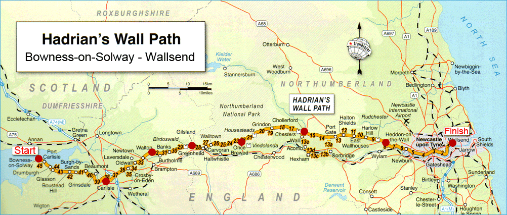
Hadrian’s Wall Path

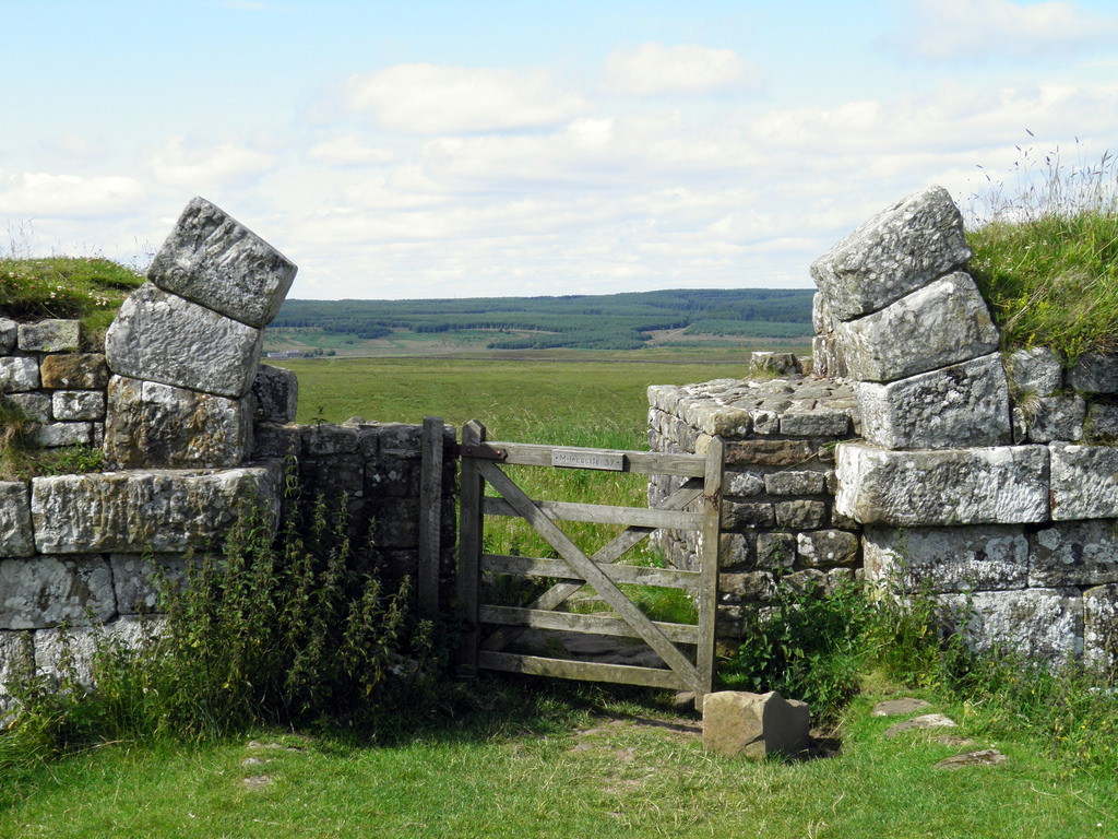
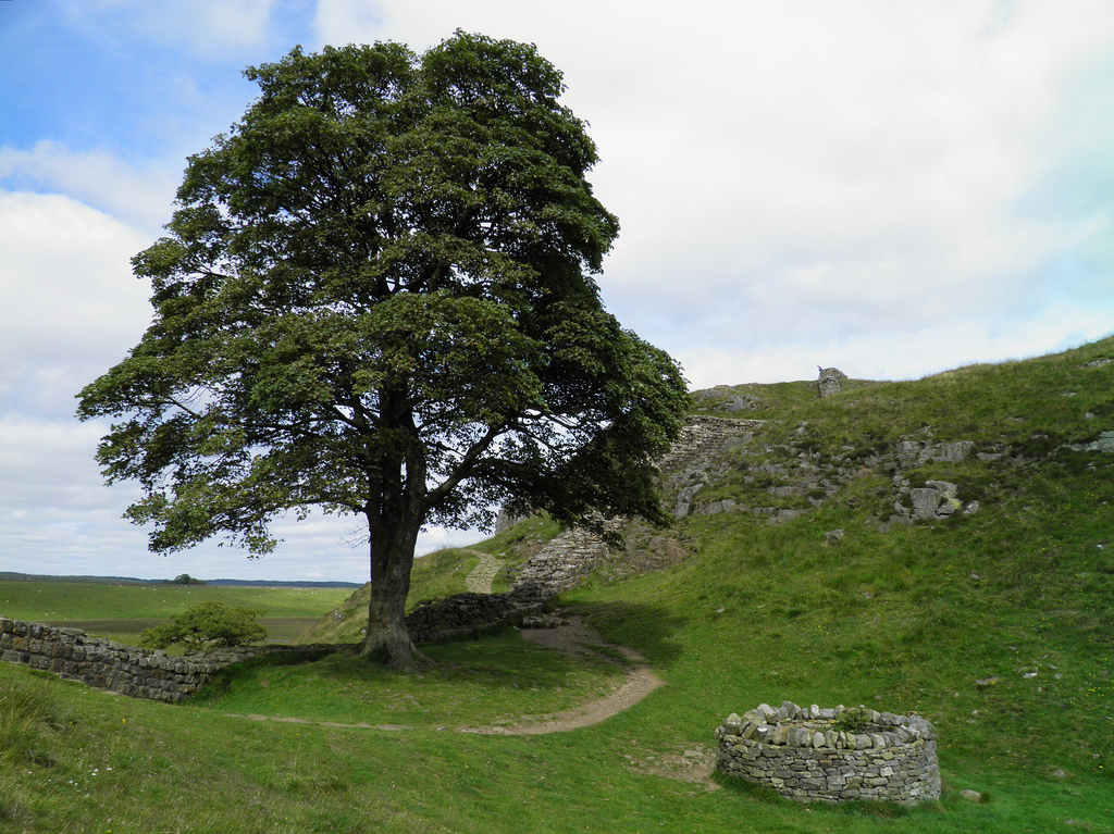
Hadrian’s Wall has long attracted hikers and history fans and is now the heart of an 84-mile-long (135 km) National Trail through some of Britain’s most beautiful countryside. Hadrian’s Wall Path stretches coast to coast across northern England, from Wallsend in the east to Bowness-on-Solway on the west coast. The trail is well signposted and despite the fact that it has become one of the most popular tourist attractions in Northern England, it retains a real sense of quiet wilderness. The sites of several Roman forts lie along the route, including Segedunum at Wallsend, Chesters, Housesteads, Vindolanda and Birdoswald.

Hadrian’s Wall path map.

Hadrian’s wall trail is an extraordinary journey which gives you a unique insight into a fascinating era in history as well as a massive respect for the soldiers who engineered and built the Wall. National Trail Maps and Guides are available to download from the Hadrian’s Wall Country website at hadrianswallcountry.co.uk/.

PLEASE DO NOT stand or climb on Hadrian’s Wall!

Rusellae

Situated 11 kilometres north of Grosseto in the Ombrone Valley, Rusellae was one of the twelve city-states of the Etruscan Confederation. The city was an important ancient town of Etruria (roughly modern Tuscany) and subsequently of ancient Rome. It survived until the Middle Ages before being abandoned. The remains of the ancient buildings were brought to light by means of a long campaign of excavations carried out in the 1950s. More recent work has revealed many more impressive buildings.

Coordinates: 42°49’38.5″N 11°09’32.9″E

The site was sparsely occupied during the Villanovan period, but the first urban centre dates to the 7th century BC when the first walled city was founded. About a century later, the town was provided with a new set of imposing defensive walls surrounding the hills on which it was located. In the Etruscan era, the town enjoyed a period of wealth and prosperity thanks not only to the exploitation of farming and mining resources but also to its commercial contacts with Greece and the Greek colonies of Southern Italy.

In the 4th century, the Romans built the via Aurelia and began intensifying their presence in the area. Initially, relations with the people of Rusellae were peaceful but eventually, the Romans and Etruscans came into conflict and battled against each other. This led to the Roman conquest of Rusellae in 294 BC. In 89 BC the inhabitants of the city became Roman citizens and members of the Scaptia tribe. The city experienced a long-lasting period of peace and prosperity with intense building activities, particularly during the eras between Claudius and Hadrian. Among the constructions were the paved square of the forum, the basilica, the office of the Augustales decorated with statues of the Julio-Claudian emperors, and the small amphitheatre set on the summit of the north hill.

Rusellae continued to thrive into the 4th century AD, but in the 5th century, it appeared half-abandoned. The Diocese of Roselle was established in AD 490. Between the end of the 6th century and the first half of the 7th century AD, the Lombards settled between the decumanus and the Roman workshops. In 1138 the diocese was suppressed and the site deserted. The episcopal seat was transferred to Grosseto.

PORTFOLIO

The decumanus maximus (1st century AD). This is one of the town’s two major roads, running east to west. It starts from one of the town gates and connects it to the Forum. Fountains and buildings stood all along the roadside.
On the right hand side of the decumanus maximus stands a district intended for workshops and crafts people which were built during the Imperial Age with restoration dating to the 4th and 5th centuries AD.
The Hadrian’s Baths (120 AD). They were built during the reign of Hadrian. Shaped like an L, they are characterised by the presence of a pool (natatio). In the early Middle Ages a church was erected on the remains of baths, using the preexisting structures.
On the eastern side of the Forum, separated by the cardo maximus, lies the Basilica (1st century BC). This was one of the centres of a public life in the Roman age. It had a rectangular plan with interior colonnade, of which only one plinth is extant.
The Etruscan buildings underneath the Forum (7th-6th century BC): the so-called “building with enclosure”, comprising a single room with two enclosures, probably a place of worship, as well as another construction known as the “two-roomed building” with two rectangular rooms, which had a public function.
The area of the Forum, paved with big travertine slabs. The Forum, built in the 1st century BC, was the main square of the Roman city. Overlooking the Forum are public buildings and temples where gods and emperors were worshipped.
View of the Forum and the Basilica.
The Italic temple lies in the southern side of the forum in what was once a sacred area, delimited by a fence and partially porticoed. The foundations of the cella of the Italic temple are still preserved, with the access stairs on the front.
The Southern side of the Forum (1st century BC). The square provides access to the seat of the Flamines Augustales, the priests in charge of the imperial cult. The building housed a series of statues devoted to the imperial Julio-Claudian family. Beside it is the basement of a small temple dedicated to Divus Augustus.
Marble statues from the Augusteum of Rosellae in the Museo Archeologico e d’Arte della Maremma in Grosseto.
Overview of the Domus of the Mosaics. The first traces of the house date back to the late Republican period. After an extensive destruction in 90-80 BC, it was enlarged and restored, as well as enriched with three statues of Tiberius, Livia and Drusus Minor (now in the Archeological Museum of Grosseto).
The Domus of the Mosaics is an example of a Roman house of the atrium type, with a central courtyard and a pool to collect rainwater.
The tablimum of the Domus of the Mosaics.
The Roman cistern of the Southern hill (Roman Imperial Age). Used to collect rainwater, it is coated with lime mortar to waterproof the walls.
The Etruscan neighborhood on the Southern hill (6th-5th century BC).
The cardo maximus (1st century BC). The eastern side of the Forum is delimited by a road paved with basalt flagstones: the cardo maximus, which is the other main road in the town, running north to south. On its surface the marks left by cart wheels are visible.
The Northern area of the Forum with enclosed public buildings that were transformed until Late Antiquity.
Building A of the the Northern area of the Forum. This building, made of just one compartment with an apses, was probably built during Augustus’s reign and destined for a statue. The floor was made of Opus Signinum and the walls were frescoed with coloured stripes, water plants and pictures of birds.
Building B of the the Northern area of the Forum. It has a back wall furnished with an apses and the floor is made of Opus Signinum.
Building C of the the Northern area of the Forum. Public building C, probably the oldest, was built before the middle of the 1st century BC. It is characterized by a vestibule and a room with white “carpet mosaic” framed in black and plastered walls with blue shades. The raised rooms were preceded by a stairway.
Building D of the the Northern area of the Forum. This building is known as the Basilica of the Bassi, but it might be possible that here was the local senate: the Curia Senatus, whose function was religious and political. Within the room were found fragments of statues of the 1st century AD, maybe members of the family who funded the building.
Overview of Rusellae.
The remains of the Hellenistic house at the top of the northern hill built toward the end of the 3rd century BC and destroyed by a fire in the first half of the following century.
The elliptical amphitheatre is located on Russellae’s northern hill and was built in the 1st century AD. The arena stretches for almost 40 meters and is 25 meters wide; the cavea is 7 meters deep and it had eight rows of steps and a seating capacity of 1,200 people.
The Etruscan walls. During the Archaic period (6th century BC), Rosellae was provided with city walls three kilometres long.
The Etruscan walls were made as a dry stone wall using big blocks of stone.
The city walls, running along the hill’s contour, defended one hundred acres of territory. The purpose of the city walls was to circumscribe the built-up area and protect it.

Links: