
Gnathia (present-day Egnazia) was an ancient city of the Messapii built on the border between the regions of Messapia and Peucezia. It is located near the town of Fasano, on the Adriatic coast of Apulia in southern Italy. The town is mentioned by the Greek geographer Strabo (Strab. 6,3,8) for its privileged geographic location and by the Latin poet Horace who passed through in 38 BC during his famous voyage from Rome to Brindisi (Satire I, 5). In the Roman period, Gnathia became an active centre of trade and commerce along the Via Traiana and became the seat of a bishopric in the Christian period. Only partially excavated, the city preserves vestiges dating back to the Messapian, Roman and Late Roman eras.
Coordinates: 40° 53′ 16.07″ N, 17° 23′ 27.97″ E
The history of ancient Gnathia spans many centuries. The earliest evidence of organised life comes from the Acropolis and dates to the Late Bronze Age (13th-12th centuries BC), with groups of huts scattered along the coast and hinterland. In the 11th century BC, it was invaded by the Iapygians, while the Messapic (another Iapyyg tribe) era of the town began in the 8th century BC. The vitality of the town and its commercial and cultural relationship with other Messapian centres and Taranto (Taras) during the Archaic period are documented by the Peucetian pottery and the pottery imported from Greece.
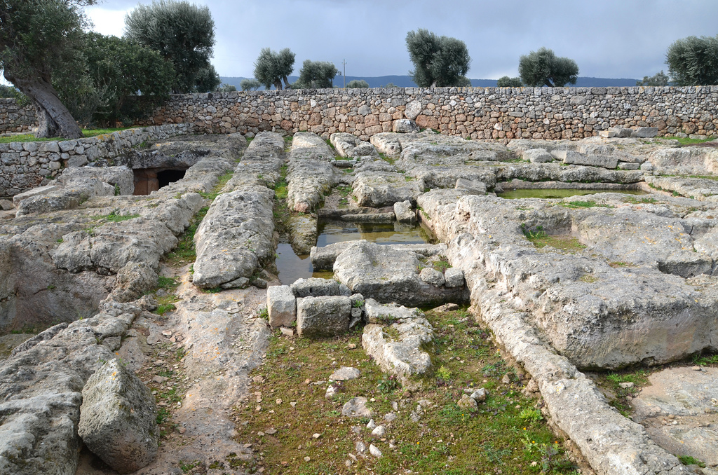
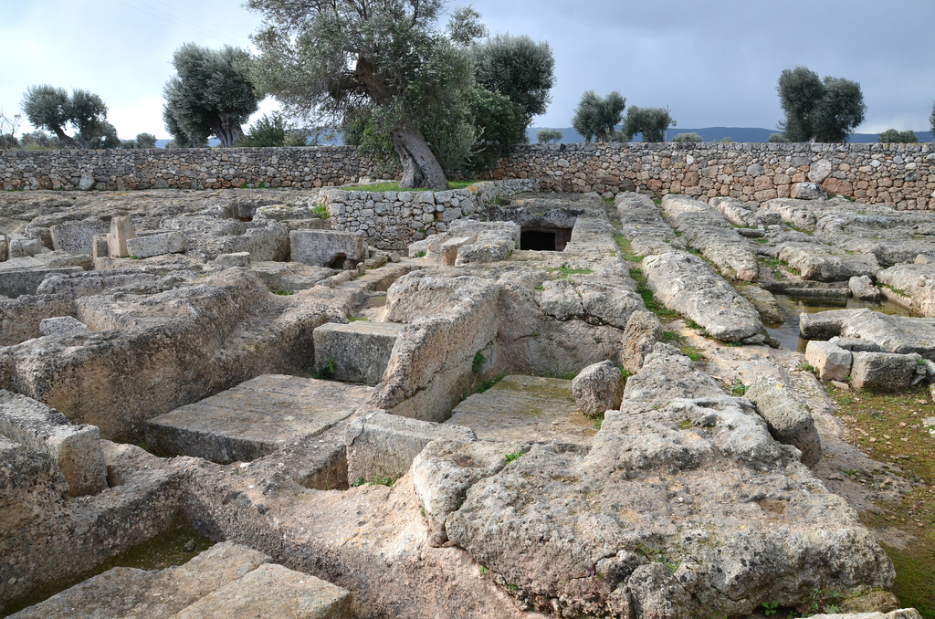
Around the second half of the 4th century BC, a sharp increase in population is recorded in the Messapia. Gnathia took the appearance characteristic of a Messapian city, surrounded by powerful defensive walls made of stone blocks on its three landward sides. They enclosed an area of about 140 hectares. From this period date, the necropolises with monumental chamber tombs often contained painted frescoes and were furnished with valuable vases.

 The vases attributed to the “Gnathia style” are so termed after the name of the site of Gnathia. Many potteries of this type were discovered in the tombs of Gnathia. Their production began in Apulia around 370/360 BC and consisted of decorating the traditional black glazed pottery with painted patterns, mainly white, red and yellow. The themes depicted include erotes, images from the life of women, theatre scenes and dionysiac motifs. The vases decorated in “Gnathia style” were generally small in size (pelikes, lekythoi, alabastra, and skyphoi).
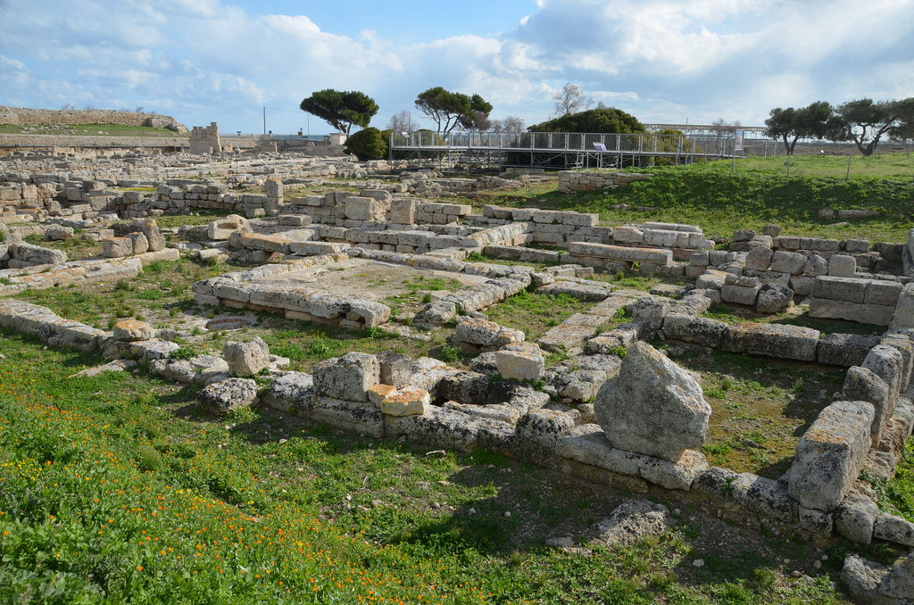
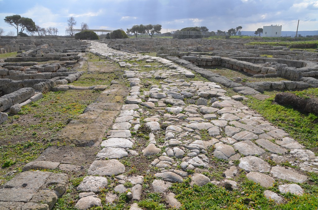
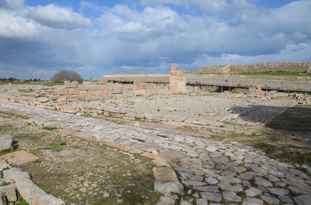
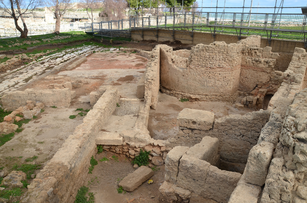
In the Roman period, especially during the Augustan period, the city prospered due to its location on the principal transit route to the Orient. The town underwent a significant modification of its urban space with new public buildings built on either side of the Via Minucia, which crossed the town from the western to the eastern sector. In AD 109, Emperor Trajan improved the old Via Minucia. Starting at Benevento, the Via Traiana gave travellers from Rome to Brindisi a shorter and more comfortable alternative to the old Via Appia.

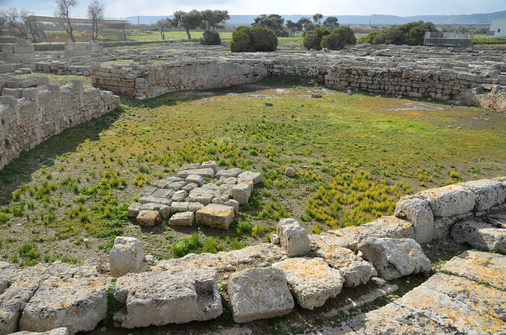
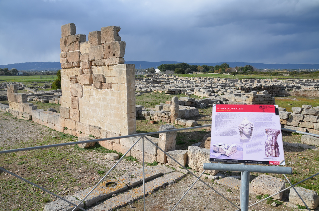
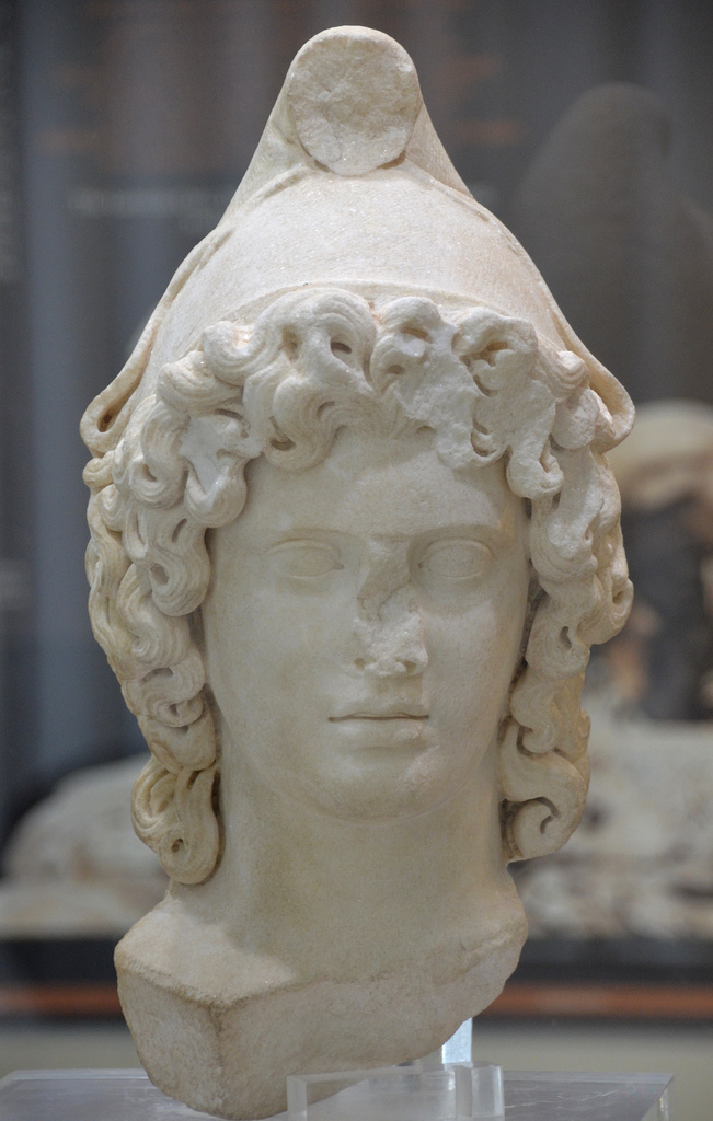
At the heart of the public space, an area was sacred to the Oriental gods. The sanctuary consisted of the temple of Cybele, the sacellum dedicated to Attis and the large elliptical enclosure, the so-called “amphitheatre”, for the performances enlivening the sacred rites.
In the Christian period, the city was the seat of a bishopric. The Acropolis was fortified by the Byzantines and, after the 6th century AD, embraced the settlement within a new surrounding wall. The destruction of the city has been traditionally linked to the invasion of Totila, King of the Goths, in 545 AD.
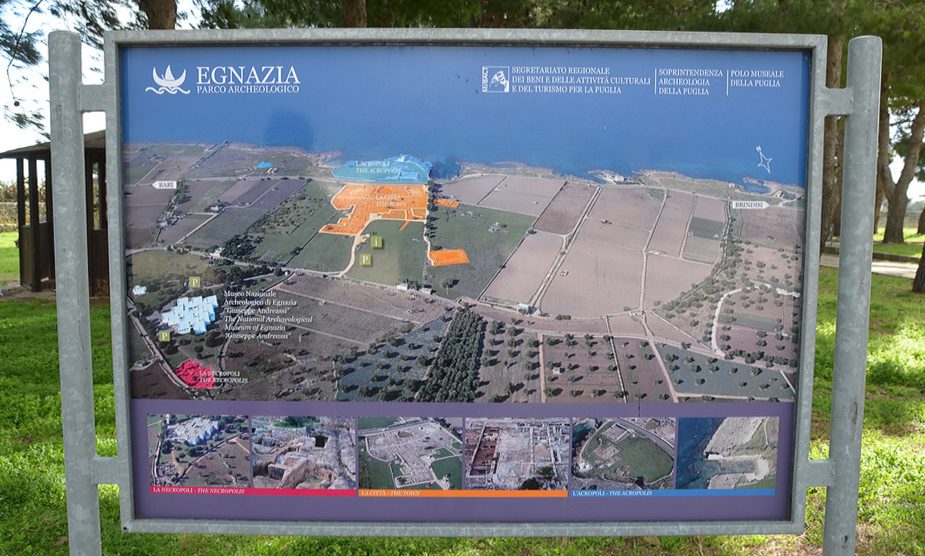
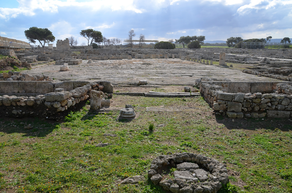
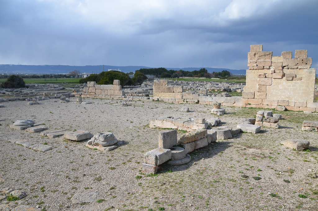
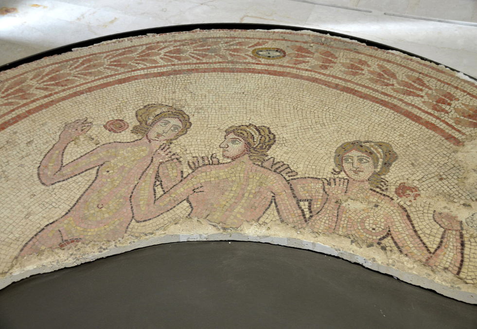
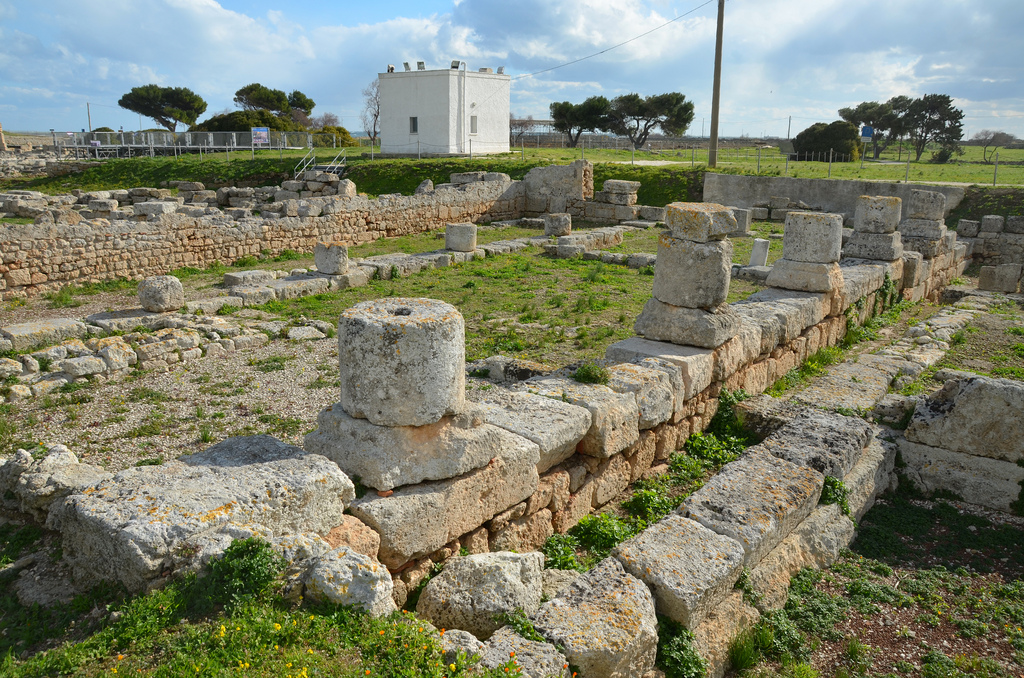
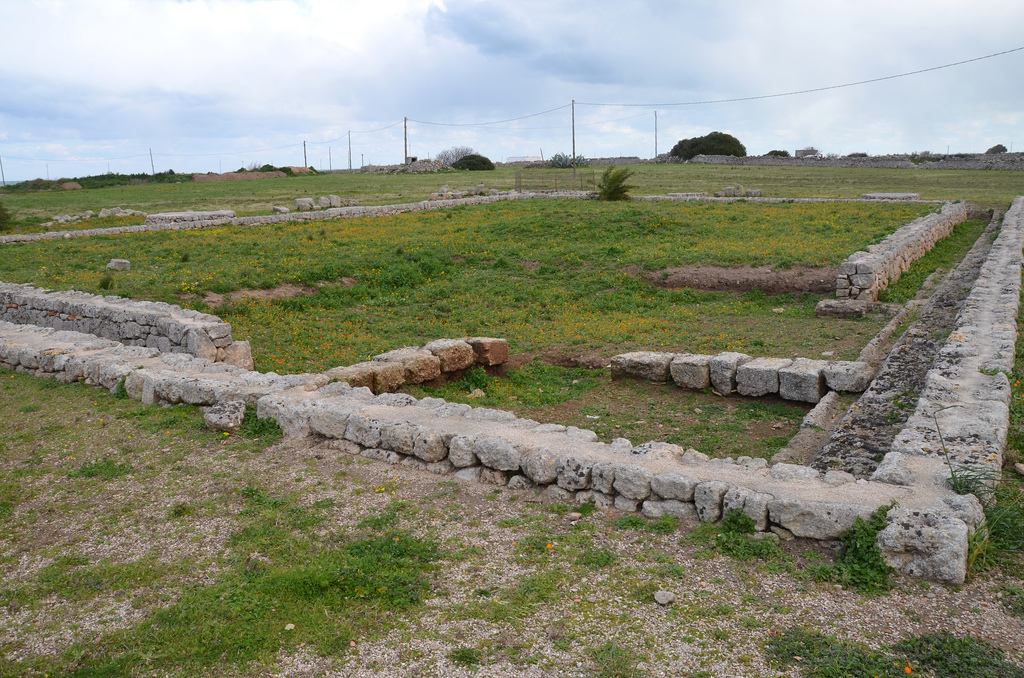
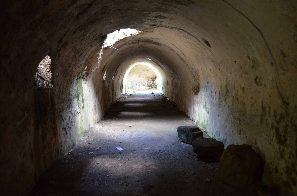
The first systematic excavations were undertaken in 1912 and 1913. Since 2001, a research programme has been carried out by the Department of Ancient and Late Antique Studies of the University of Bari “Aldo Moro”, in close collaboration with the Soprintendenza Archeologia of Apulia. Gnathia is famous for the discoveries made in its tombs. Also worthy of note are some stretches of the Via Traiana, the Basilica with the hall of the Three Graces, the Shrine of Eastern Divinities, the trapezoidal-shaped market square and the Sanctuary of Trajan in the area of the Acropolis. The best-preserved burial chamber is the Tomb of the Pomegranate, which probably belonged to a family of the wealthy class who used it for many generations from the 4th to the 2nd century BC.
The Tomb of the Pomegranate was discovered In 1971 during the museum’s construction. On the walls are some paintings, such as the pomegranate, a symbol of eternity. The Archaeological Museum of Egnazia is set outside the boundary walls. It showcases a permanent didactic exhibition about the history and the topography of ancient Gnathia, including a selection of mosaics and architectural fragments from the inhabited area and the necropolises.
PORTFOLIO


Flavi[a] C L Cypa[re] sace[rd]os Matris Magn[ae] et Syriae dea[e] ex imp[er]io fecit l[aeta] l[iberris] d[ono] d[edit].


Links:
- Egnazia.eu
- GNATHIA (Egnatia) Apulia, Italy – The Princeton Encyclopedia of Classical Sites
