Tripolis ad Maeandrum

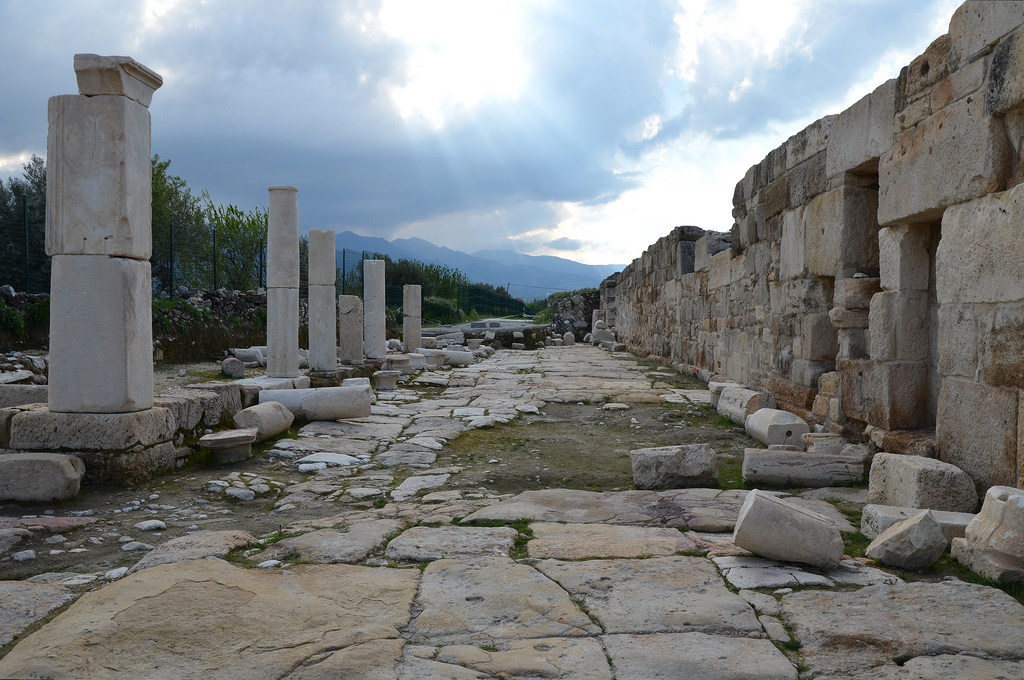
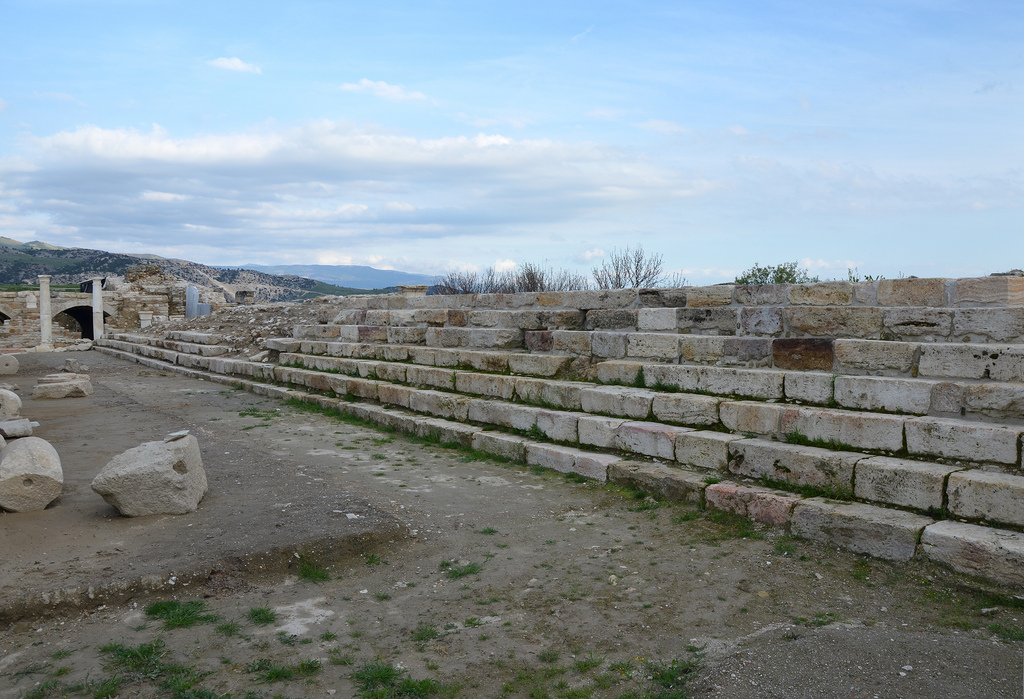
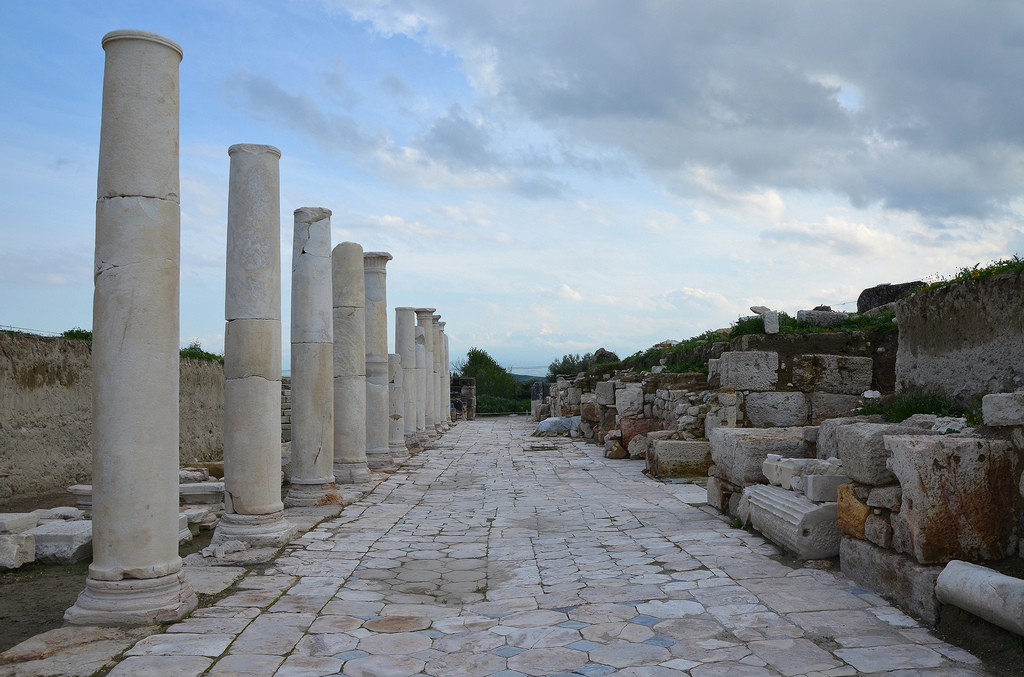
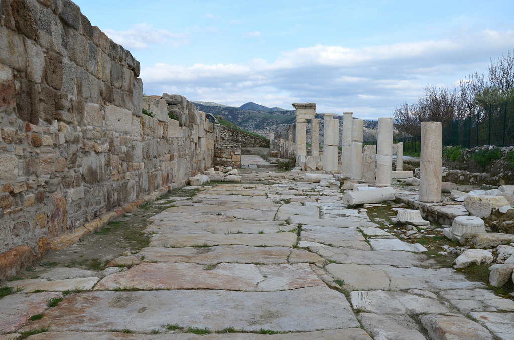
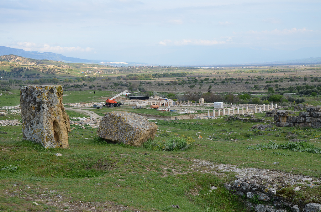
The ancient city of Tripolis is located in the Denizli province, about 20 km northwest of Hierapolis (Pamukkale). The city was founded on the northern bank of the Maeander, where the borders of Phrygia, Caria and Lydia meet, and on the road leading from Sardes to Laodicea ad Lycum. It was originally known as Apollonia and later renamed Antoniopolis (in honour of Mark Antony) for a short time in the 1st century BC. The city took its final name sometime later when it became known as Tripolis due to its location at the crossroads of these three regions.

Coordinates: 38°02’14.5″ N 28°57’08.2″ E

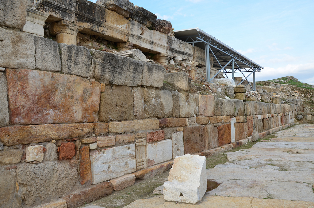
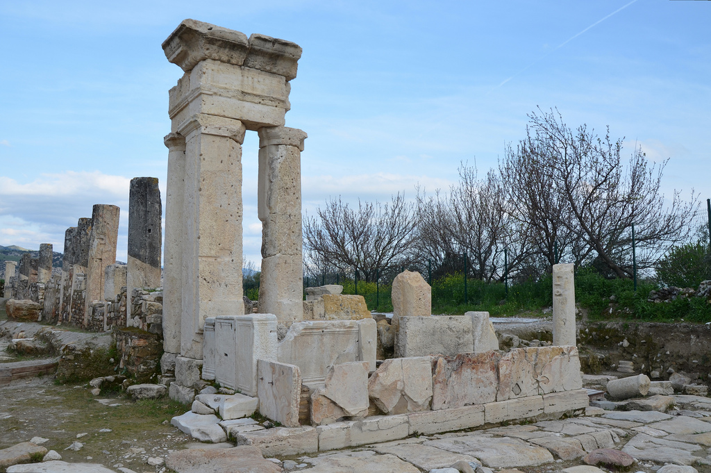
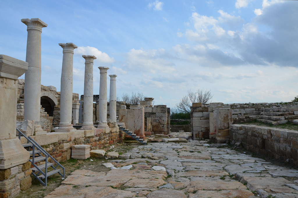
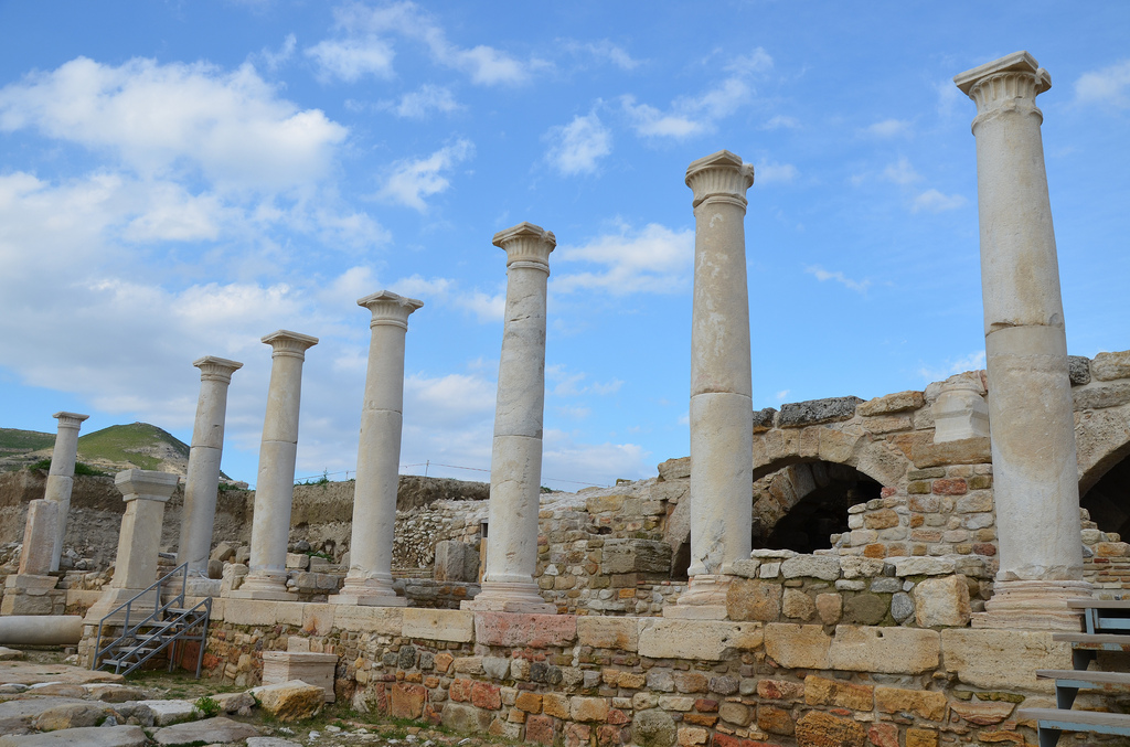
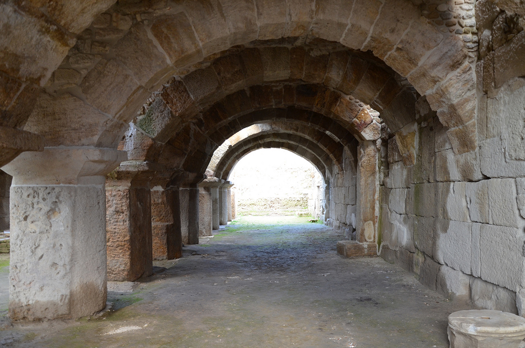
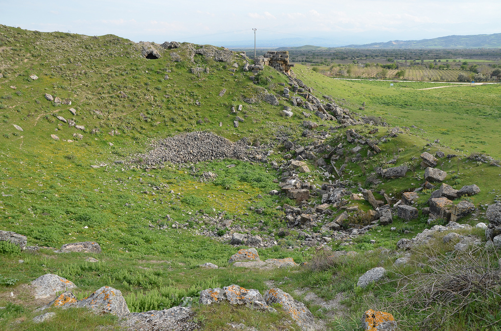
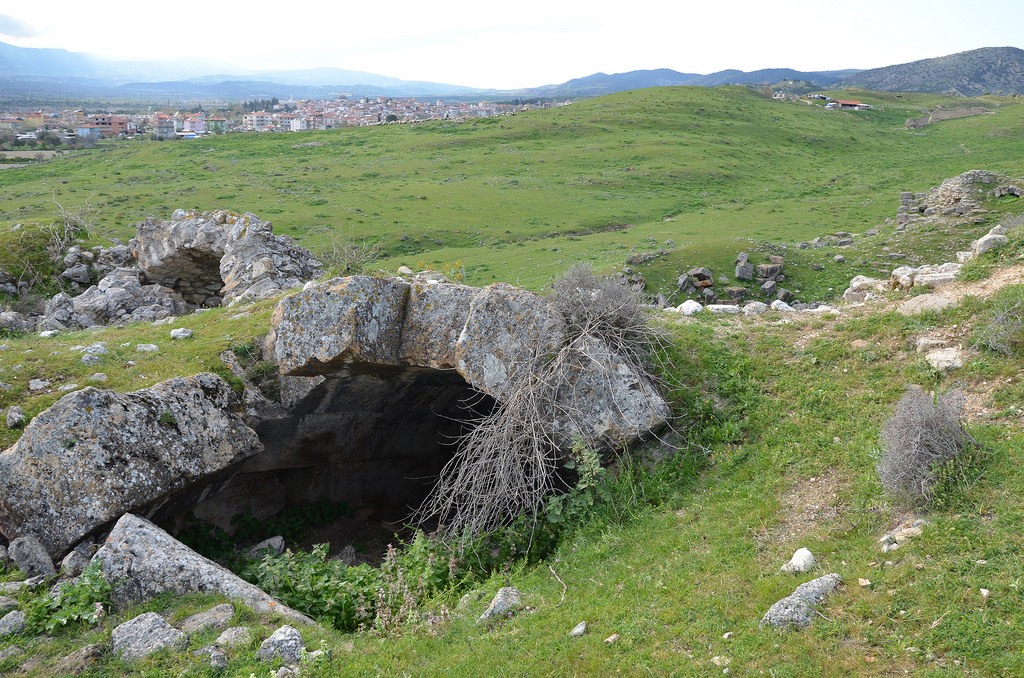
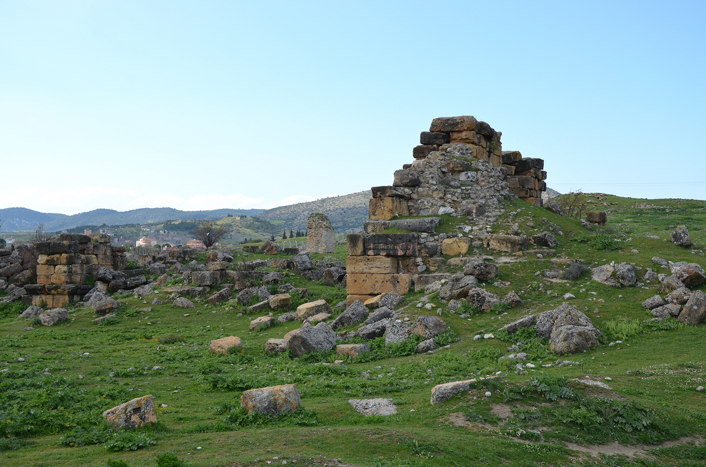
The earliest mention of Tripolis is by Pliny the Elder, who wrote about the city as a Lydian settlement. In the 2nd century AD, Claudius Ptolemy described it as a Carian town, whilst the Byzantine geographer Hierocles called it a Lydian town. Although the city’s history goes back to the Hellenistic period, archaeological excavations have shown that the origins of the settlement can be traced back to the 4th millennium BC. Tripolis reached its peak during the Roman period, from the 2nd century AD onwards. New public buildings such as the city gates, baths, a stadium, a theatre and a bouleuterion (council hall) were built during this period. During the Byzantine period, Tripolis became an important bishopric center. A church dating back to the 6th century AD was unearthed during excavations in 2013.

PORTFOLIO

The Late Roman Agora
The Late Roman Agora. Constructed in the 4th century AD, the Agora was bordered by a seven-stepped platform intended for visitors to rest.
The seven-stepped platform in the Late Roman Agora.
The portico of the Late Roman Agora paved with opus sectile made from onyx marble.
The western portico of the Late Roman Agora was paved with opus sectile made from onyx marble.
The 450m long colonnaded street running in a north-southerly direction. in the early 5th century CE, fortification walls were built on its north
The 450m long colonnaded street ran in a north-southerly direction and was constructed in the early Roman period. In the early 5th century AD, fortification walls were built on its northern side.
The Byzantine fortification wall built in the 5th century AD along the Colonnaded Street.
The Byzantine fortification wall was built along Collonaded Street in the 5th century AD.
The 450m long colonnaded street runs in a north-southerly direction.
The Nymphaeum (Orpheus Fountain) built at the crossroads between the Colonnaded Steet and the Hierapolis Street.
The Nymphaeum (Orpheus Fountain) was built at the crossroads between Colonnaded Street and Hierapolis Street.
The Hierapolis Street constructed of travertine blocks running in an east-west direction.
Hierapolis Street is constructed of travertine blocks running in an east-west direction.
The Hierapolis Street.
The Arched Building with cryptoporticus constructed in the late Hellenistic or early Roman period.
The Arched Building with Cryptoporticus, constructed in the late Hellenistic or early Roman period.
The theatre built on the natural hill with a slope of 50 degrees, it had a capacity of 8,000.
The Theatre was built on a natural hill with a slope of 50 degrees. It had a capacity of 8,000.
The Theatre was probably erected in the 2nd century AD.
The ruins of the Bouleuterion (Council Hall).
The excavations in 2015.

Links:

Leave a comment

This site uses Akismet to reduce spam. Learn how your comment data is processed.