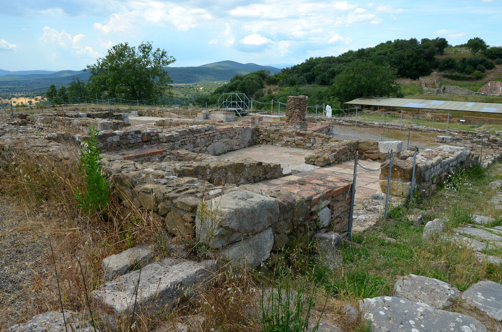
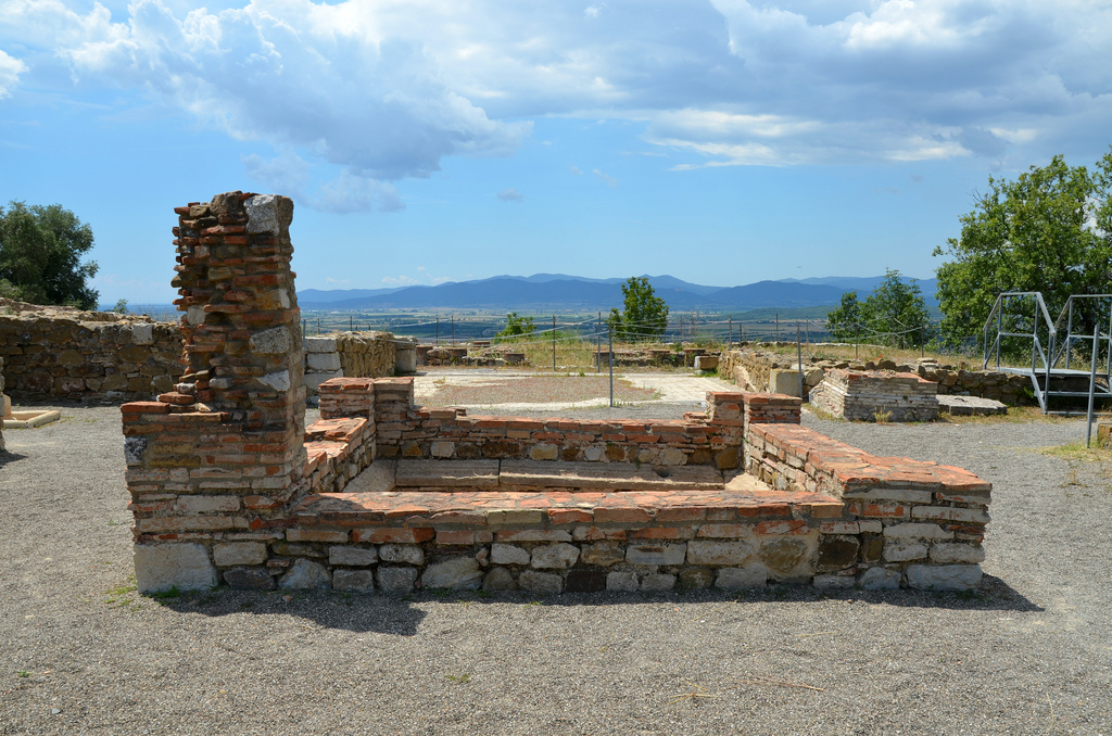
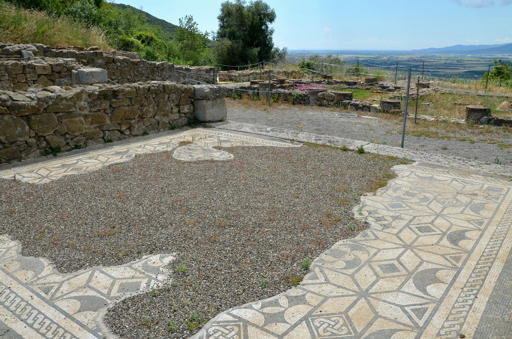
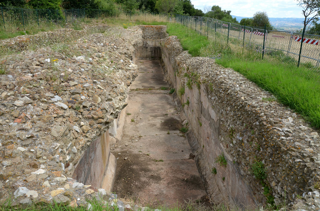
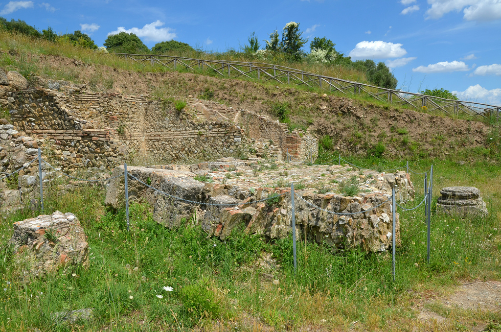
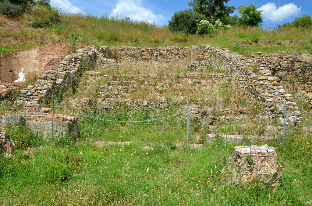
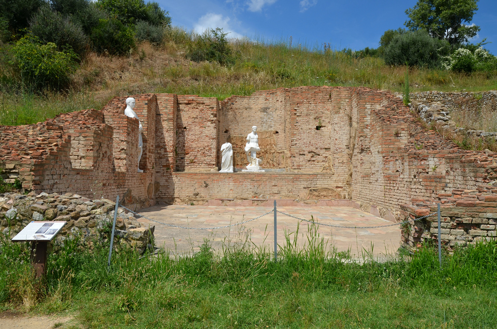
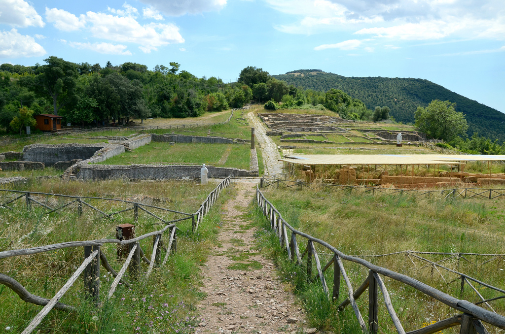
Situated 11 kilometres north of Grosseto in the Ombrone Valley, Rusellae was one of the twelve city-states of the Etruscan Confederation. The city was an important ancient town of Etruria (roughly modern Tuscany) and subsequently of ancient Rome. It survived until the Middle Ages before being abandoned. The remains of the ancient buildings were brought to light by means of a long campaign of excavations carried out in the 1950s. More recent work has revealed many more impressive buildings.
The site was sparsely occupied during the Villanovan period, but the first urban centre dates to the 7th century BC when the first walled city was founded. About a century later, the town was provided with a new set of imposing defensive walls surrounding the hills on which it was located. In the Etruscan era, the town enjoyed a period of wealth and prosperity thanks not only to the exploitation of farming and mining resources but also to its commercial contacts with Greece and the Greek colonies of Southern Italy.
In the 4th century, the Romans built the via Aurelia and began intensifying their presence in the area. Initially, relations with the people of Rusellae were peaceful but eventually, the Romans and Etruscans came into conflict and battled against each other. This led to the Roman conquest of Rusellae in 294 BC. In 89 BC the inhabitants of the city became Roman citizens and members of the Scaptia tribe. The city experienced a long-lasting period of peace and prosperity with intense building activities, particularly during the eras between Claudius and Hadrian. Among the constructions were the paved square of the forum, the basilica, the office of the Augustales decorated with statues of the Julio-Claudian emperors, and the small amphitheatre set on the summit of the north hill.
Rusellae continued to thrive into the 4th century AD, but in the 5th century, it appeared half-abandoned. The Diocese of Roselle was established in AD 490. Between the end of the 6th century and the first half of the 7th century AD, the Lombards settled between the decumanus and the Roman workshops. In 1138 the diocese was suppressed and the site deserted. The episcopal seat was transferred to Grosseto.
PORTFOLIO
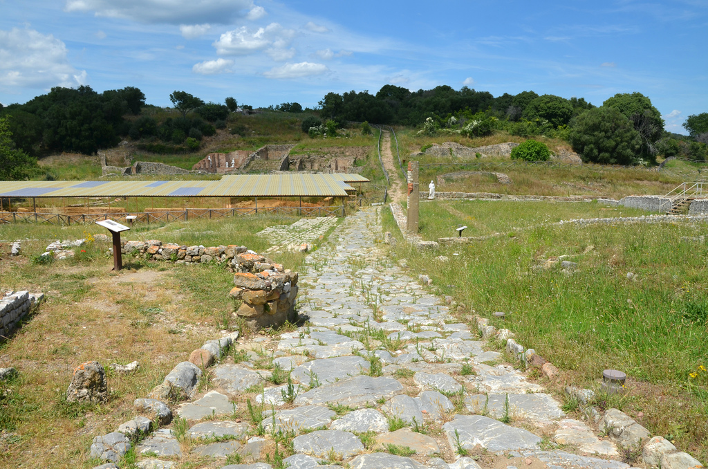
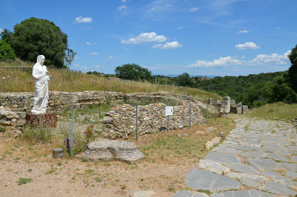
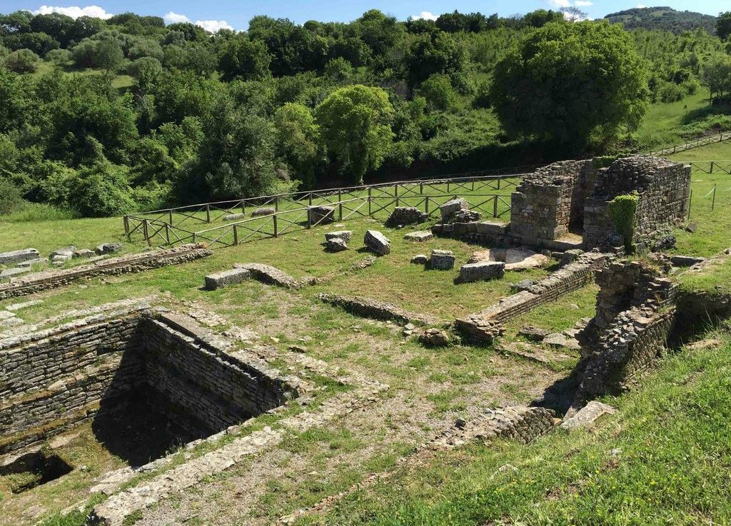
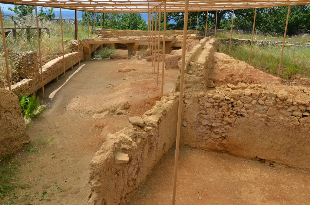
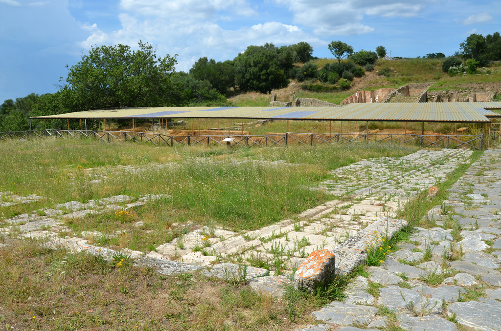
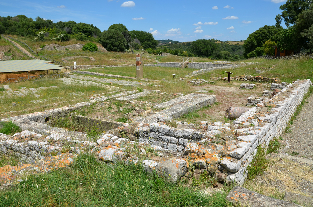
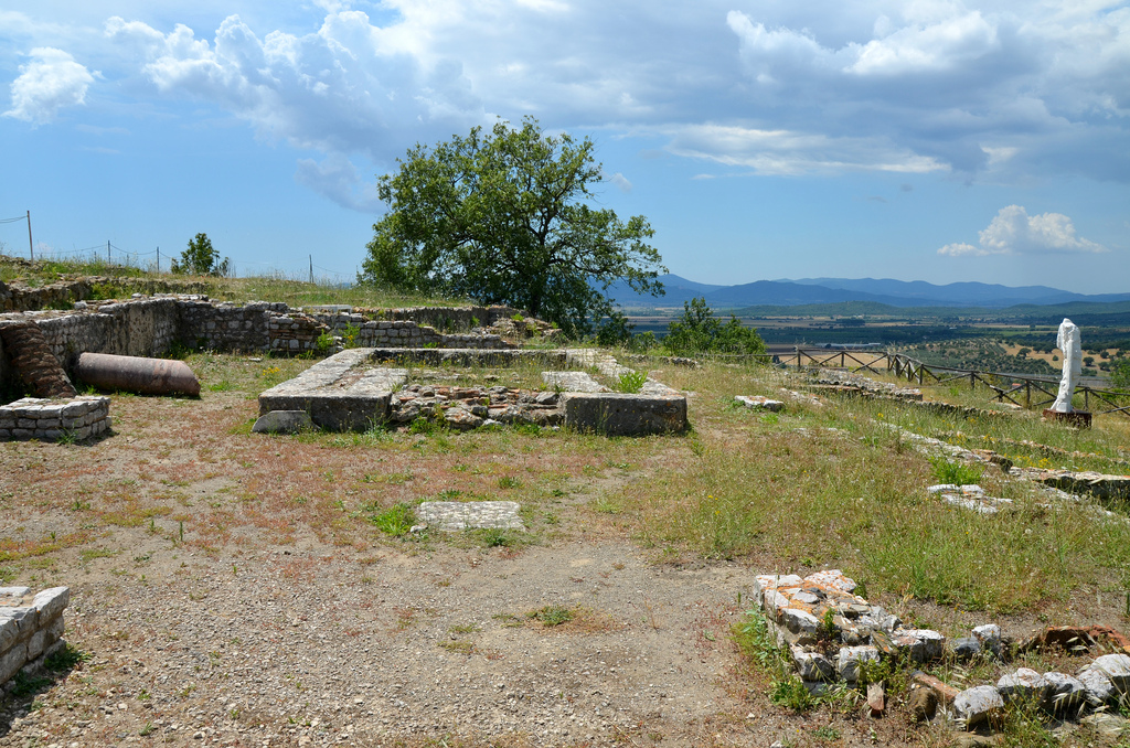
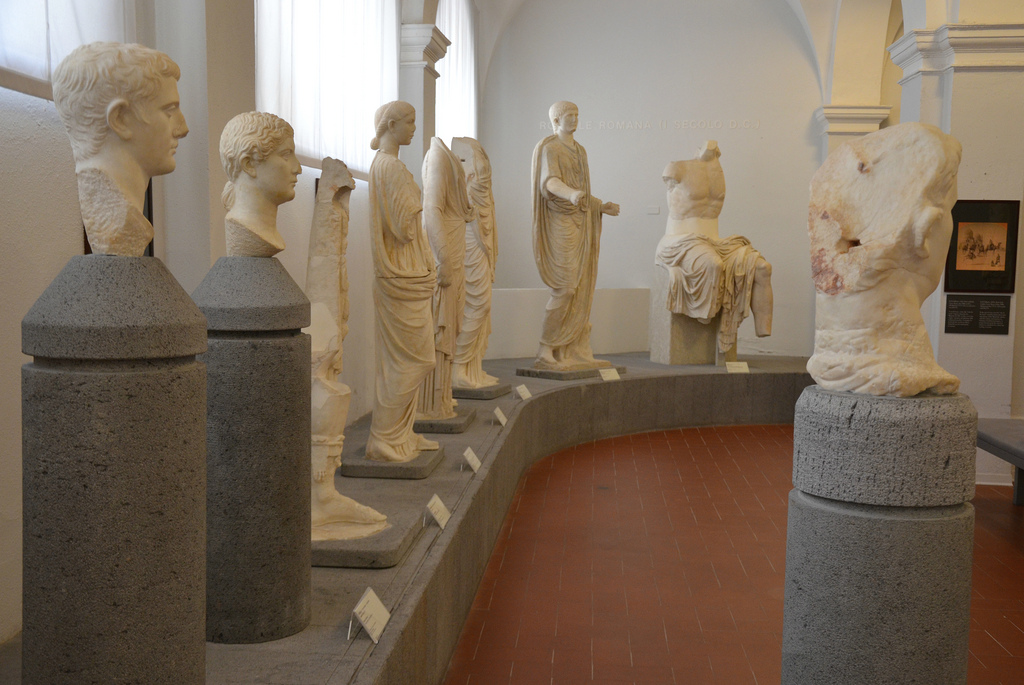
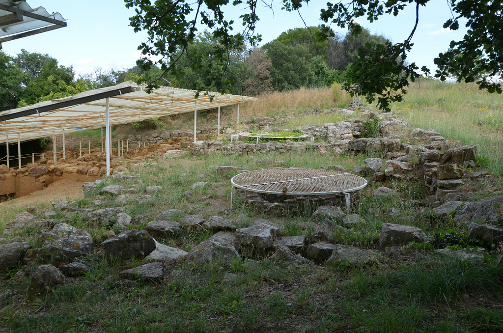
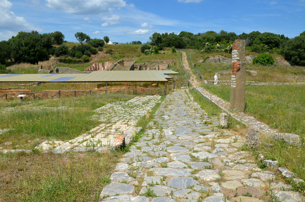
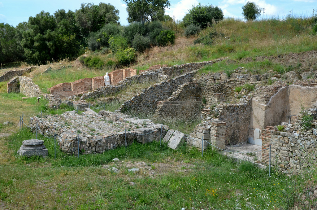
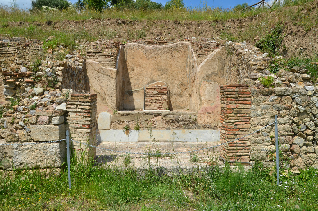
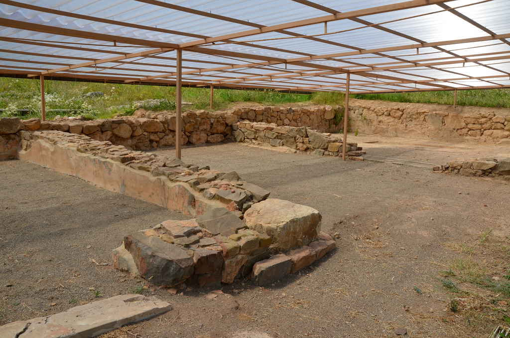
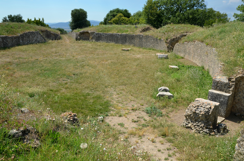
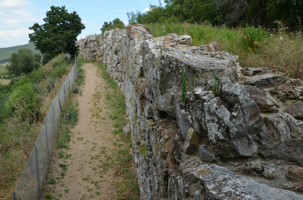
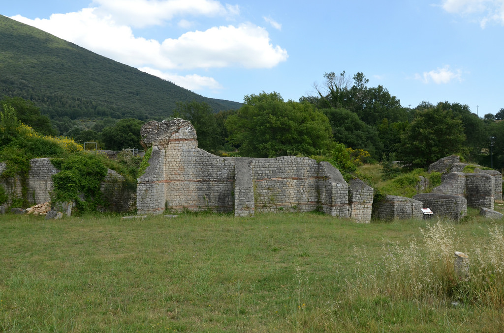
The decumanus maximus (1st century AD). This is one of the town’s two major roads, running east to west. It starts from one of the town gates and connects it to the Forum. Fountains and buildings stood all along the roadside.On the right hand side of the decumanus maximus stands a district intended for workshops and crafts people which were built during the Imperial Age with restoration dating to the 4th and 5th centuries AD.The Hadrian’s Baths (120 AD). They were built during the reign of Hadrian. Shaped like an L, they are characterised by the presence of a pool (natatio). In the early Middle Ages a church was erected on the remains of baths, using the preexisting structures.On the eastern side of the Forum, separated by the cardo maximus, lies the Basilica (1st century BC). This was one of the centres of a public life in the Roman age. It had a rectangular plan with interior colonnade, of which only one plinth is extant.The Etruscan buildings underneath the Forum (7th-6th century BC): the so-called “building with enclosure”, comprising a single room with two enclosures, probably a place of worship, as well as another construction known as the “two-roomed building” with two rectangular rooms, which had a public function.The area of the Forum, paved with big travertine slabs. The Forum, built in the 1st century BC, was the main square of the Roman city. Overlooking the Forum are public buildings and temples where gods and emperors were worshipped.View of the Forum and the Basilica.The Italic temple lies in the southern side of the forum in what was once a sacred area, delimited by a fence and partially porticoed. The foundations of the cella of the Italic temple are still preserved, with the access stairs on the front.The Southern side of the Forum (1st century BC). The square provides access to the seat of the Flamines Augustales, the priests in charge of the imperial cult. The building housed a series of statues devoted to the imperial Julio-Claudian family. Beside it is the basement of a small temple dedicated to Divus Augustus.Marble statues from the Augusteum of Rosellae in the Museo Archeologico e d’Arte della Maremma in Grosseto.Overview of the Domus of the Mosaics. The first traces of the house date back to the late Republican period. After an extensive destruction in 90-80 BC, it was enlarged and restored, as well as enriched with three statues of Tiberius, Livia and Drusus Minor (now in the Archeological Museum of Grosseto).The Domus of the Mosaics is an example of a Roman house of the atrium type, with a central courtyard and a pool to collect rainwater.The tablimum of the Domus of the Mosaics.The Roman cistern of the Southern hill (Roman Imperial Age). Used to collect rainwater, it is coated with lime mortar to waterproof the walls.The Etruscan neighborhood on the Southern hill (6th-5th century BC).The cardo maximus (1st century BC). The eastern side of the Forum is delimited by a road paved with basalt flagstones: the cardo maximus, which is the other main road in the town, running north to south. On its surface the marks left by cart wheels are visible.The Northern area of the Forum with enclosed public buildings that were transformed until Late Antiquity.Building A of the the Northern area of the Forum. This building, made of just one compartment with an apses, was probably built during Augustus’s reign and destined for a statue. The floor was made of Opus Signinum and the walls were frescoed with coloured stripes, water plants and pictures of birds.Building B of the the Northern area of the Forum. It has a back wall furnished with an apses and the floor is made of Opus Signinum.Building C of the the Northern area of the Forum. Public building C, probably the oldest, was built before the middle of the 1st century BC. It is characterized by a vestibule and a room with white “carpet mosaic” framed in black and plastered walls with blue shades. The raised rooms were preceded by a stairway.Building D of the the Northern area of the Forum. This building is known as the Basilica of the Bassi, but it might be possible that here was the local senate: the Curia Senatus, whose function was religious and political. Within the room were found fragments of statues of the 1st century AD, maybe members of the family who funded the building.Overview of Rusellae.The remains of the Hellenistic house at the top of the northern hill built toward the end of the 3rd century BC and destroyed by a fire in the first half of the following century.The elliptical amphitheatre is located on Russellae’s northern hill and was built in the 1st century AD. The arena stretches for almost 40 meters and is 25 meters wide; the cavea is 7 meters deep and it had eight rows of steps and a seating capacity of 1,200 people.The Etruscan walls. During the Archaic period (6th century BC), Rosellae was provided with city walls three kilometres long.The Etruscan walls were made as a dry stone wall using big blocks of stone.The city walls, running along the hill’s contour, defended one hundred acres of territory. The purpose of the city walls was to circumscribe the built-up area and protect it.
Carsulae is an ancient Roman town situated in the region of Umbria in central Italy, on a plateau crossed by the western branch of the Via Flaminia which path travelled through the town. Its urban development began in the 2nd century BC when indigenous communities moved and joined together, thereby facilitating the Romanisation of Umbria. The town became a Roman municipium of the tribus Clustumina in the middle of the 1st century BC when a number of major works were initiated, including the amphitheatre and most of the forum.
Carsulae was first mentioned in the surviving sources by Strabo in the late 1st century BC.
The cities this side the Apennine Mountains that are worthy of mention are: first, on the Flaminian Way itself: Ocricli, near the Tiber and theº Larolon, and Narna, through which the Nar River flows (it meets the Tiber a little above Ocricli, and is navigable, though only for small boats); then, Carsuli, and Mevania, past which flows the Teneas. Strabo Geography 5:2:10
Carsulae probably originated as a mansio, a rest stop and watering place for travellers, traders and soldiers along the Via Flaminia. The road was constructed for military purposes by the censor Gaius Flaminius in 220 BC. It ran from Rome to the Adriatic coast and then turned north towards the colony of Ariminum (Rimini). Its path travelled through Carsulae and became the cardo maximus, the north-south street of the town running between the forum and the amphitheatre and theatre.
3D reconstruction of the town.
During its golden age, Carsulae, supported by agricultural activity in the surrounding area, was prosperous and wealthy. Its bucolic setting, its large complex of thermal mineral baths and other public amenities, attracted wealthy and even middle class “tourists” from Rome.
Recovered inscriptions document the vibrant civic life of Carsuale until at least the reign of Emperor Vespasian who camped here in AD 69 as he prepared to march on Rome to secure the Imperial title for his master (Tac. Hist. 3. 60).
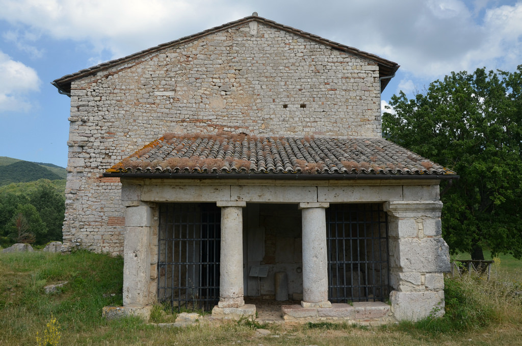
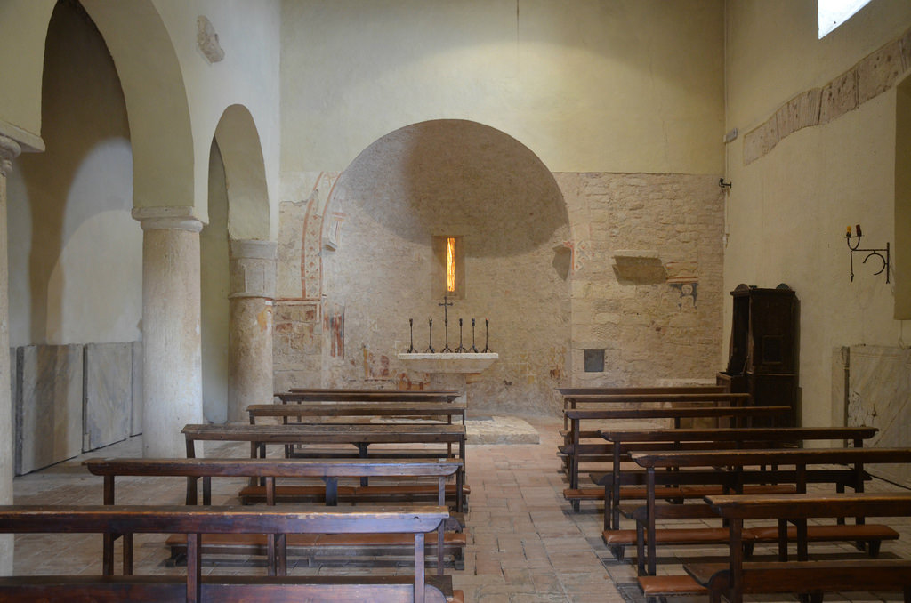
The city lost its importance when the western branch of Via Flaminia fell into disuse at the end of the 3rd century AD in favour of its faster east branch. Carsulae was abandoned in the middle of the 4th century AD, perhaps after an earthquake, and its people probably moved to nearby San Gemini. However, a church was built in the 11th century on the foundations of a Roman building many centuries after the site had been abandoned.
Excavations at the site unearthed a large number of monuments, buildings and inscriptions, forming a picture of a wealthy and politically active municipium. However, the town has still not been completely brought back to life and excavations are still underway. The excavations are conducted by Emerita Professor Jane Whitehead of Valdosta State University, USA.
PORTFOLIO
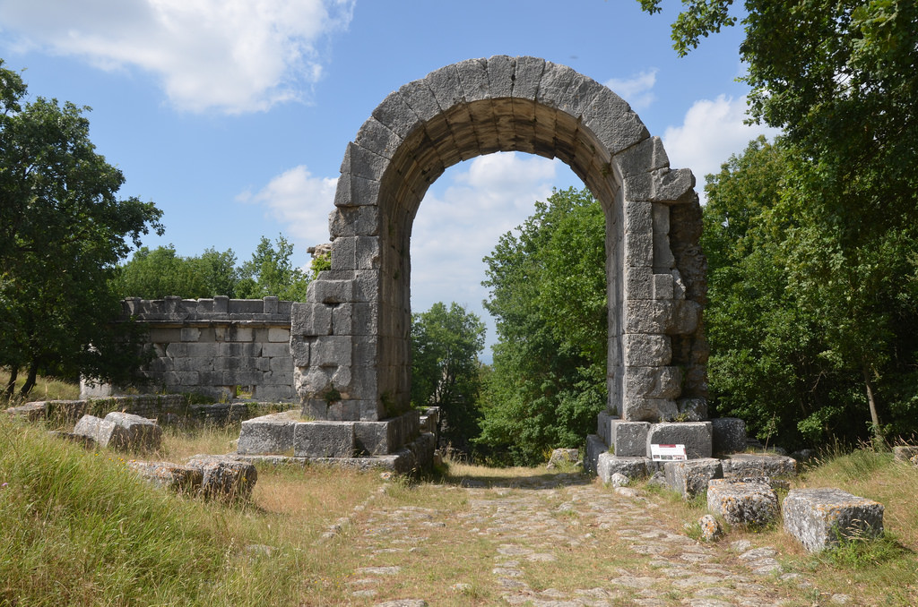
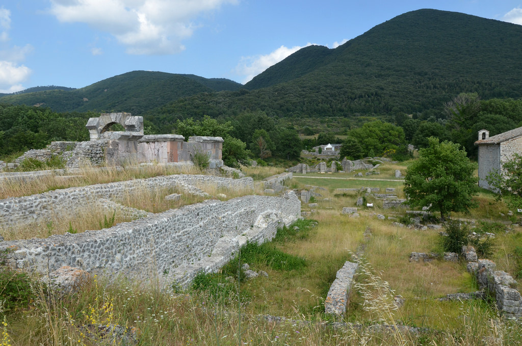
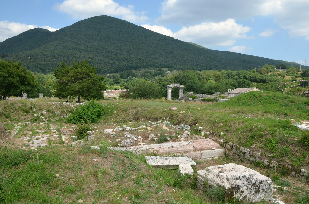
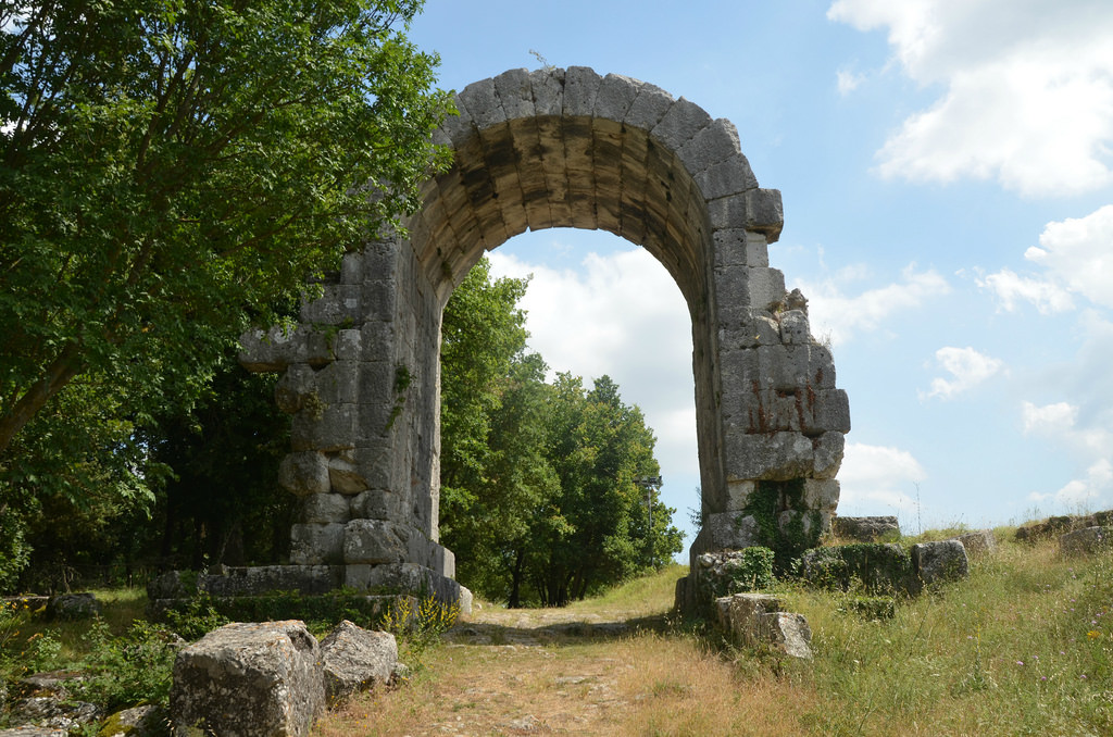
The amphitheatre and the theatre, located on the eastern side of the town.The amphitheatre was partially built into a natural cavity in the ground. It is thought to date back to the first century AD.The theatre was entirely reconstructed above the ground and was dated before the amphitheatre.The cavea of the theatre was supported by 15 vaulted rooms.The remains of the scaena of the theatre.There are four cisterns in Carsulae: two are in the north and upstream of the thermal system (one has now been transformed in Antiquarium). The others are in the north of the amphitheatre and in the south of the theatre.The cardo maximus, the main or central north–south-oriented street crossing the municipium. The arch on the left, which was recently reconstructed, marked the entrance to the forum.The northern four-sided arch (tetrapylon) marking the entrance to the Forum, it is located at the intersection of the main two roads (decumanus & cardo maximus), built in opus quadratum made in block of solid limestone.The Forum, facing the west side of the urban road route of the Via Flaminia with the so-called twin temples, of which only the podiums lined with pink stone slabs remain. The access of the temples was by a flight of steps partly reconstructed: the lack of ancient sources make difficult the identification of the divine couple.The northern side of the Forum consisted on four apsidal rectangular rooms: the largest one is identified with the Curia (the Seat of the municipal senate), the smallest ones were for the administrative and political activities. Marble decorations are visible.Overview of the Forum.As of 2017, the excavation at Carsulae is led by Massimiliano Gasperini and Luca Donnini, with the involvement of the Australian Carsulae Archaeology Project from Macquarie University in Sydney, Australia.The Forum.Fragments from a statue of Claudius (ca. 50 AD). This colossal statue (twice life-size) stood in the forum of Carsulae (Umbria, Italy). Only the head and a knee survive.The excavations of 2012 – 2014 brought to light a well-preserved paved floor as well as different wall structures commercial uses and a cistern. The first building phase is of the 2nd century BC with some modifications dated back to the Augustan Age.The Via Flaminia went through the town (north–south axis) and became the main road or the cardo maximus of which 400 metres are still visible.The so-called San Damiano Arch was build during the reign of Augustus. The arch was located at the northern entrance of the town. It was originally an arch with three fornices (the two lateral minor ones have collapsed).Three funeral monuments that belong to the prestigious Carsulae’s families stood outside the town boundaries. Two are restored and dated back between the 1st century BC and the 1stI century AD. The first is a drum shaped funeral tomb on a rectangular base.The second mausoleum is of tower type on a rectangular base. The cylindrical body has skylights and above a Doric frieze.The Church of S. Cosma and Damiano was built in the XI century using a pre-existent building whose function is uncertain and dated between the 1st and the 2nd century AD.The Church of S. Cosma and Damiano was built, like the portico, using many building materials of the Roman period.The interior of the Church of S. Cosma and Damiano.