Machaerus

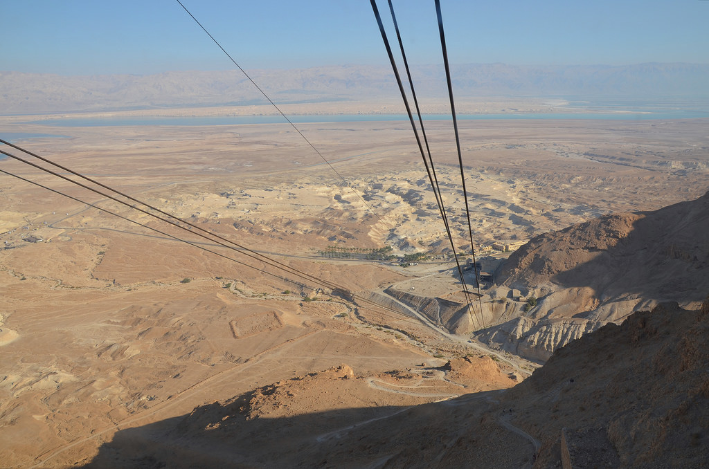
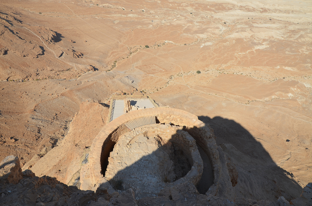
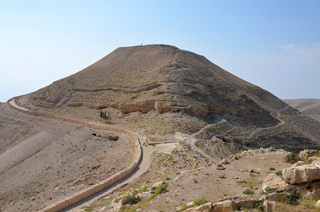
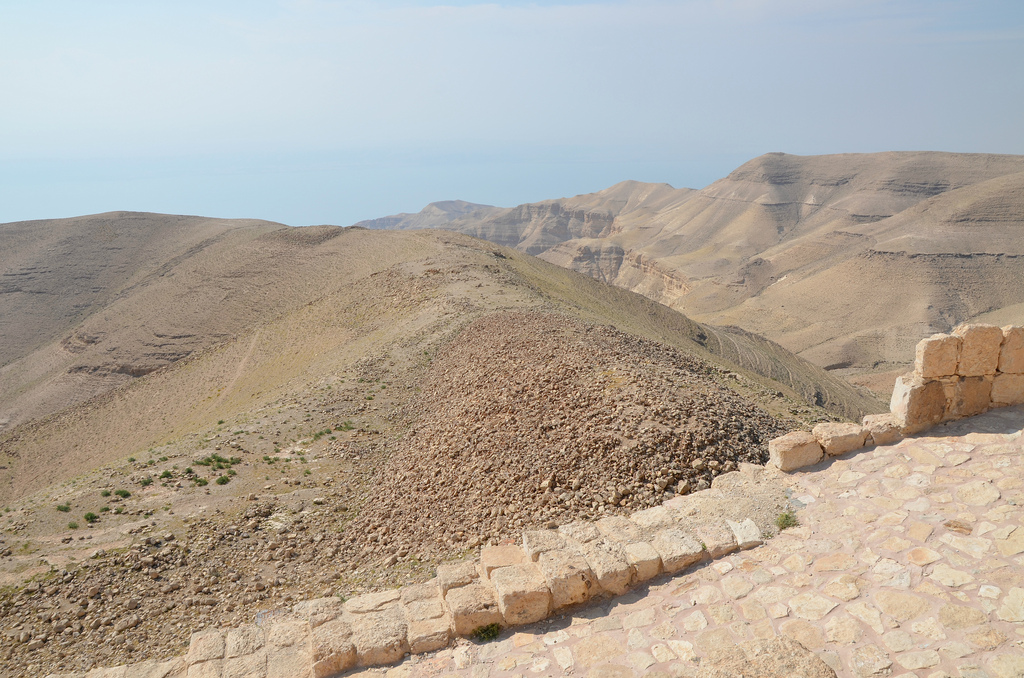
Machaerus is a fortified hilltop palace overlooking the Dead Sea in Transjordan, southeast of the mouth of the Jordan river. The fortress was erected by the Hasmonean king Alexander Jannaeus (103–76 BC) and was destroyed by Pompey’s general Gabinius in 57 BC, but later rebuilt by Herod the Great. Upon Herod’s death, his son Herod Antipas inherited the fortress where Salome is said to have danced in return for the head of John the Baptist. During the First Jewish Revolt, Jewish rebels took control of the fortress besieged and destroyed by the Romans in AD 72.

Coordinates: 31° 34′ 2″ N, 35° 37′ 27″ E

Alexander Jannaeus, the second Hasmonean king of Judaea, first built the fortress of Machaerus around 90 BC in southern Perea. It was used as one of the depositories for his treasures and as an important strategic position. Machaerus later served as a base for Aristobulus II in his resistance against the Romans. Pliny the Younger, in his Historia Naturalis, describes it as one of the strongest points in the region after Jerusalem. The Romans conquered the Hasmonean state in the 60s BC, and the fortress was destroyed by the Roman commander Aulus Gabinius in 57 BC after suppressing the revolt led by Aristobulus II and his son Alexander.

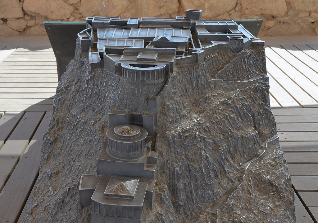
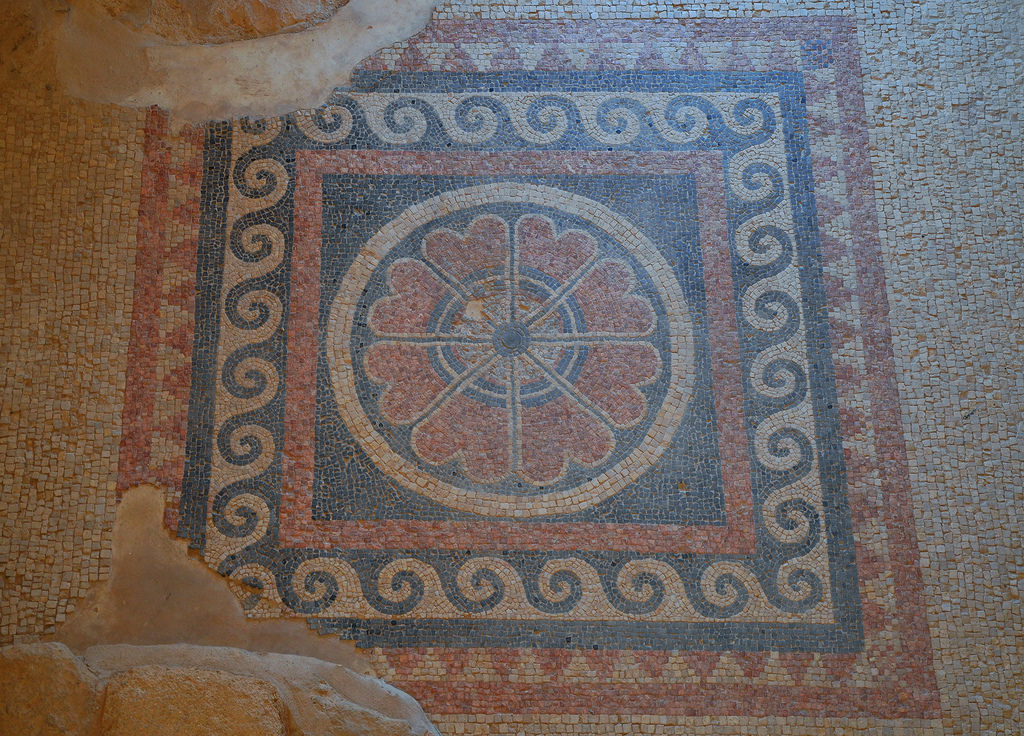
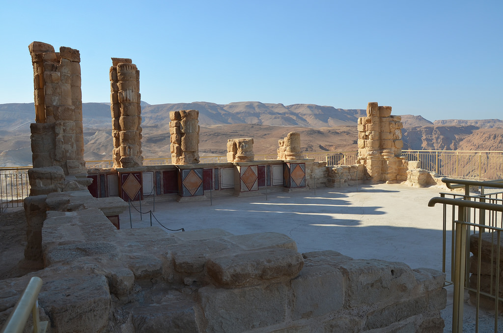
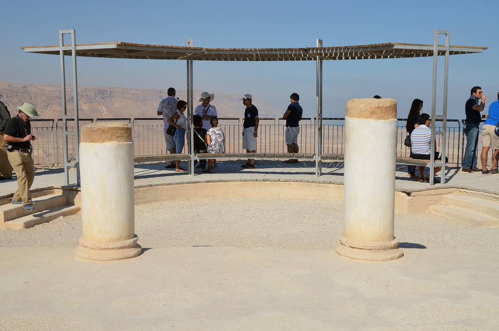
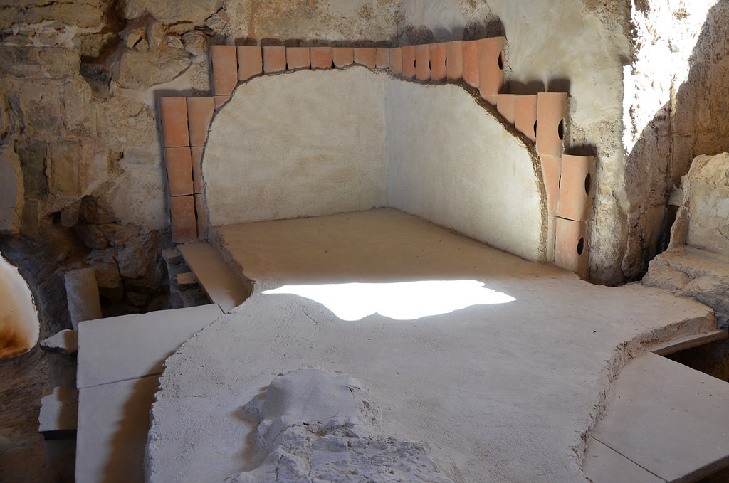
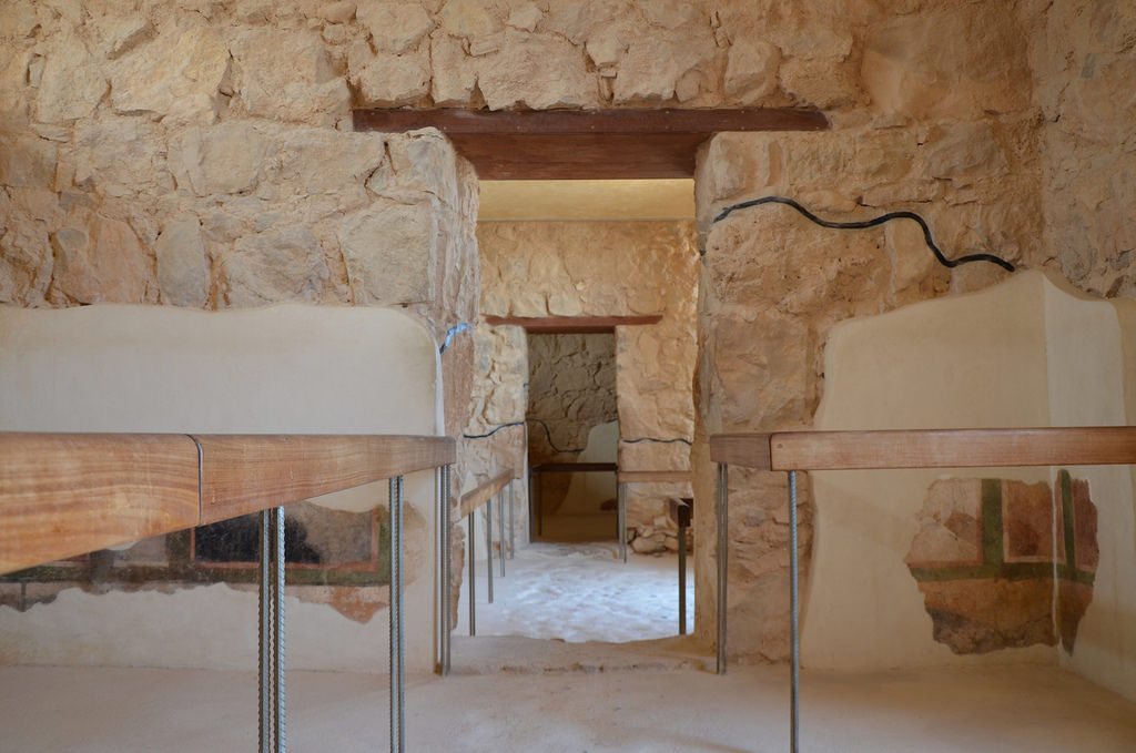
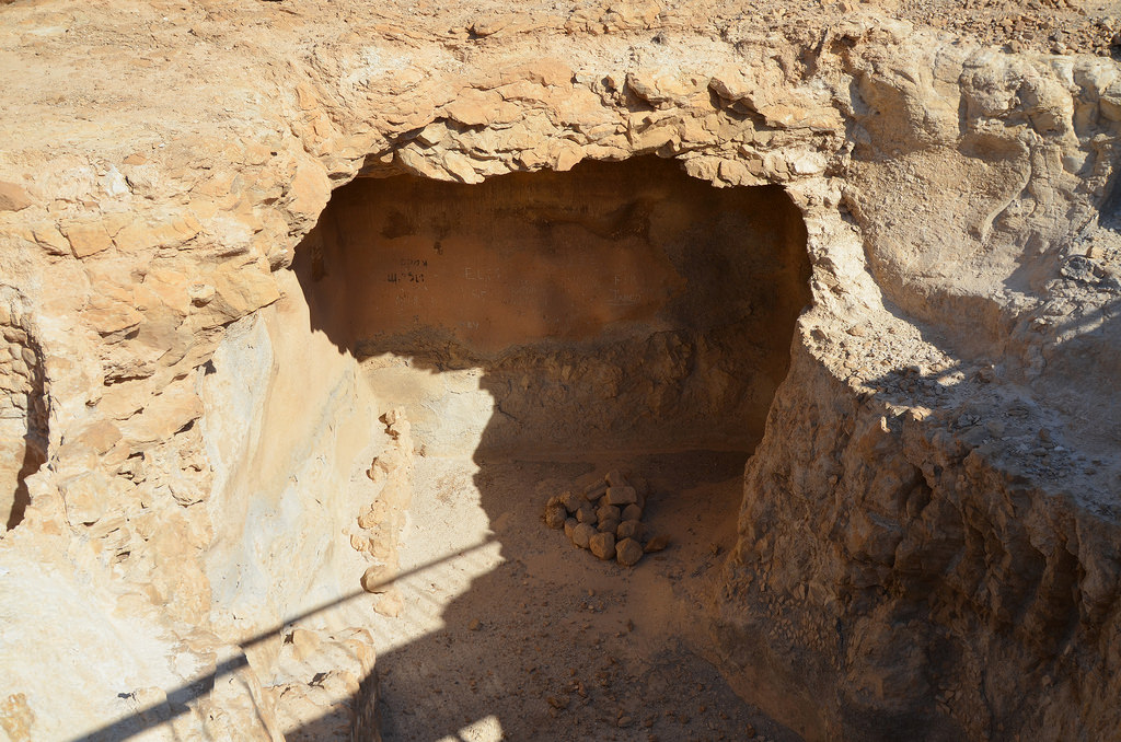
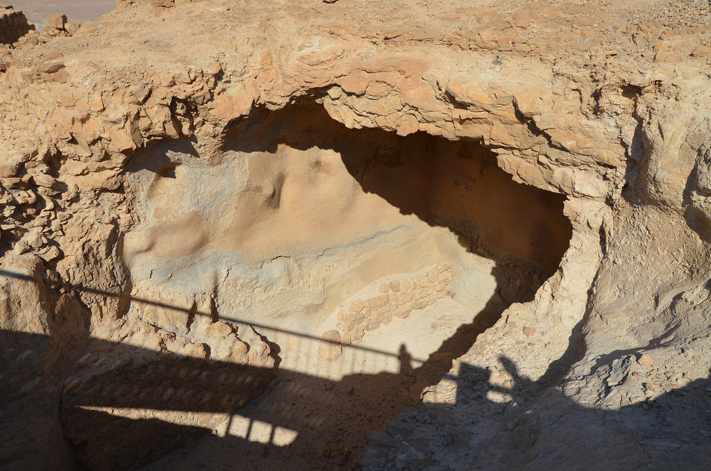
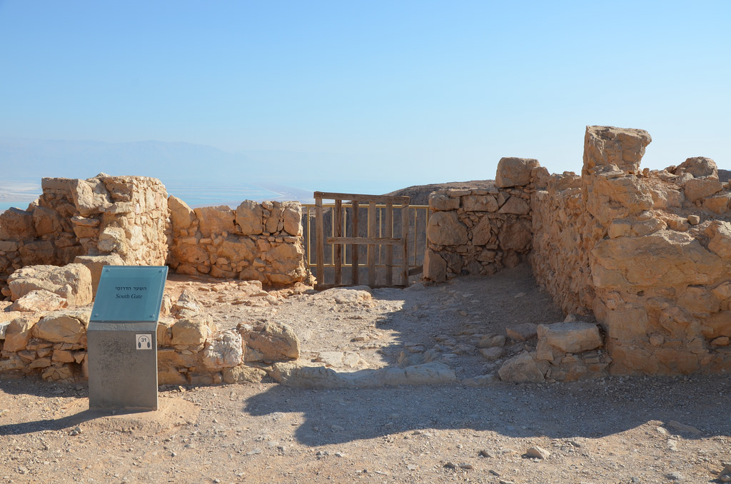
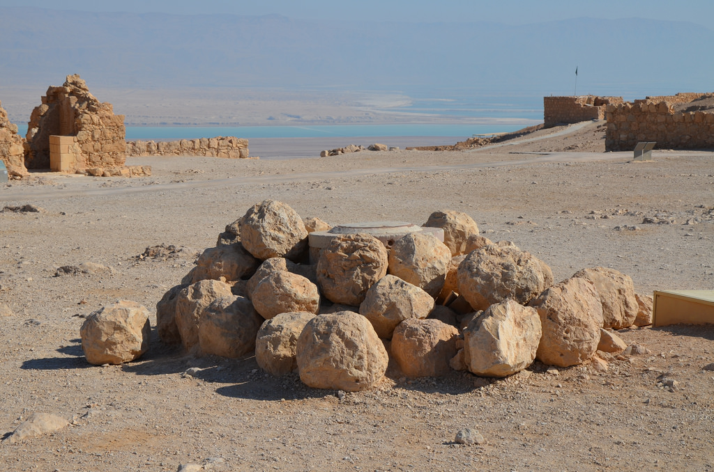
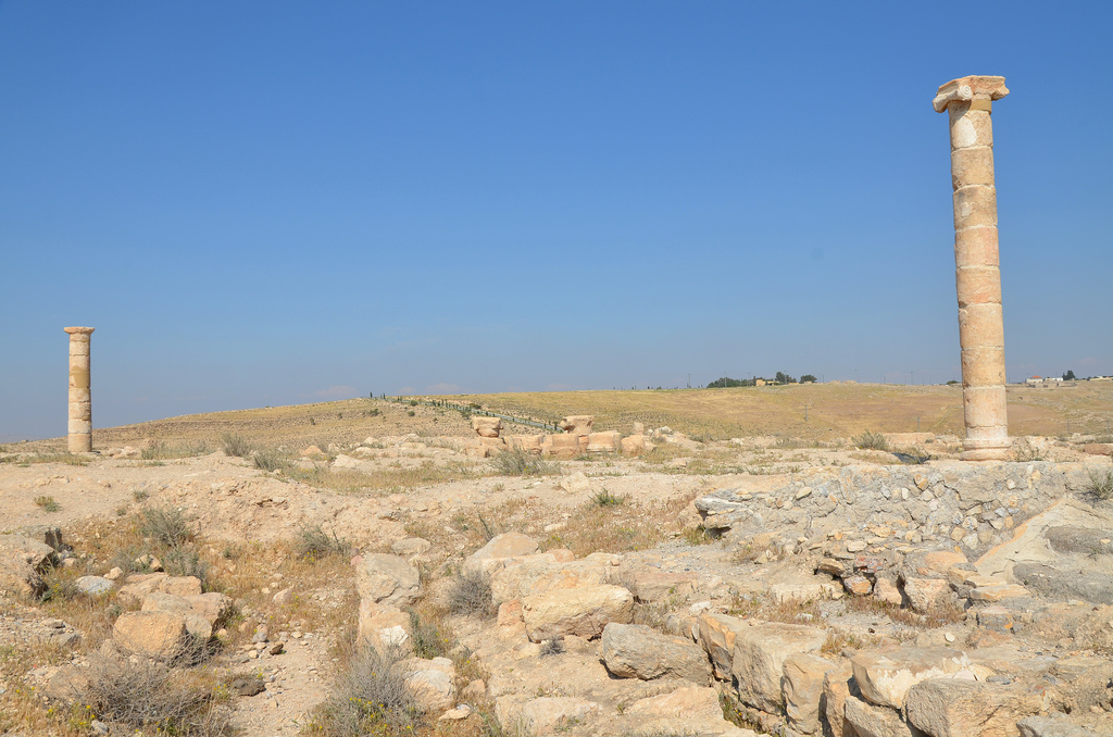
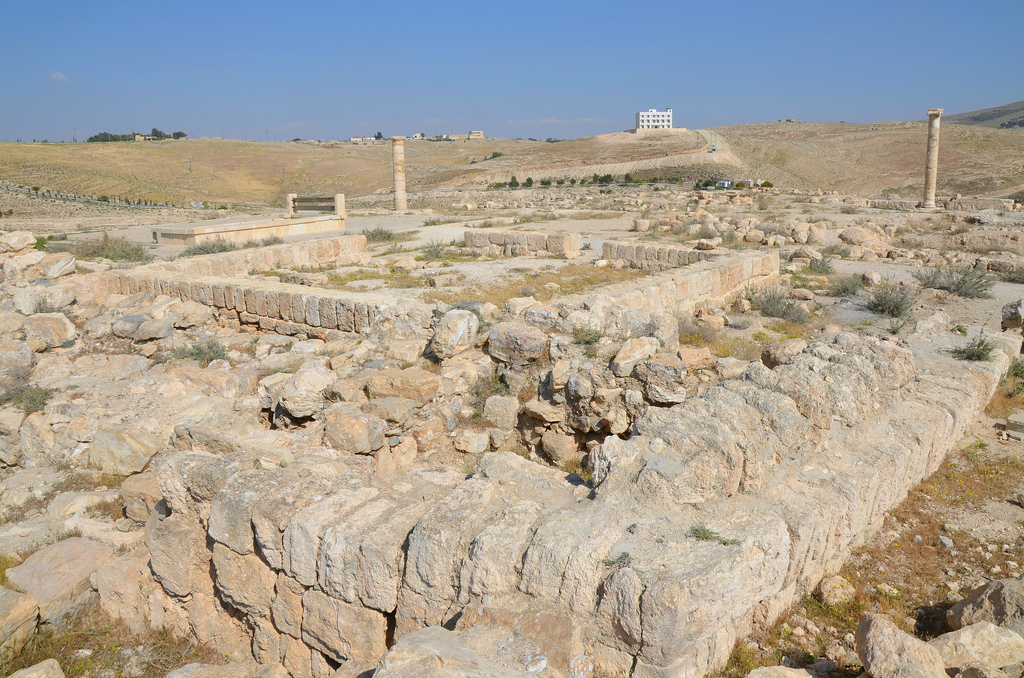
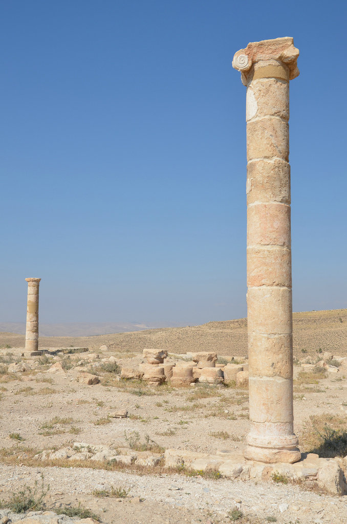
King Herod the Great rebuilt the fortress in 30 BC and turned the originally defensive centre into a lavish palace measuring approximately 110 meters east-west and 60 meters north-south. It was divided into two wings: the eastern wing contained a bathhouse with mosaic floors and five storage rooms. The western wing had a peristyle court surrounded on all sides by colonnades opening onto two halls on the south, triclinia. The wall surrounding the fortress was defended on both sides by a tower (see a reconstruction image here).

9518747102_8365464ab2_h
Aerial Photographic Archive for Archaeology in the Middle East. Photographer: David Leslie Kennedy.
Copyright: Creative Commons Attribution-Noncommercial-No Derivative Works

After Herod’s death, the fortress passed to his son Herod Antipas, who ruled from 4 BC until AD 39. During this time, John the Baptist was imprisoned and beheaded at Machaerus. According to the Bible, Salome is said to have danced for Herod Antipas, who, impressed by her performance, promised her anything she wanted. Encouraged by her mother, Herodias, Salome demanded John the Baptist’s head on a platter. His subsequent execution also took place in the fortress.

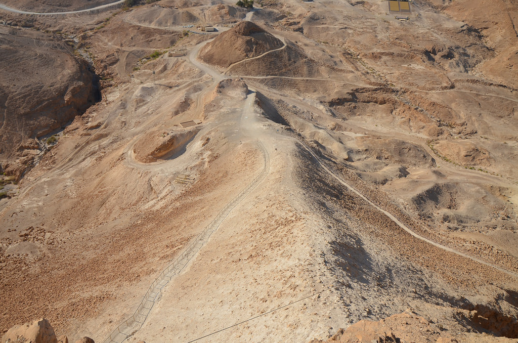
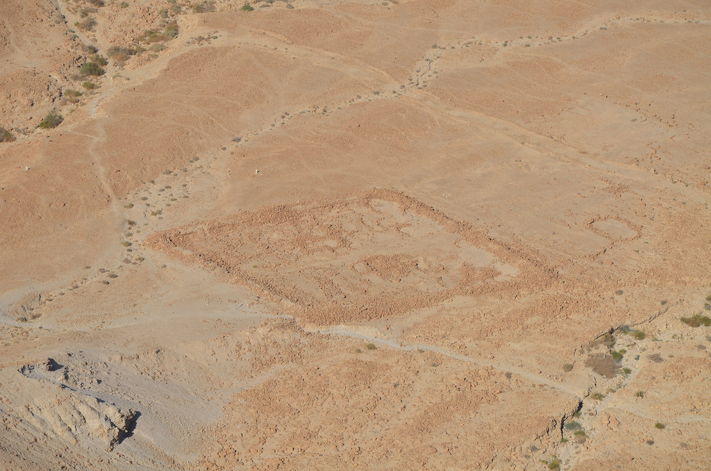
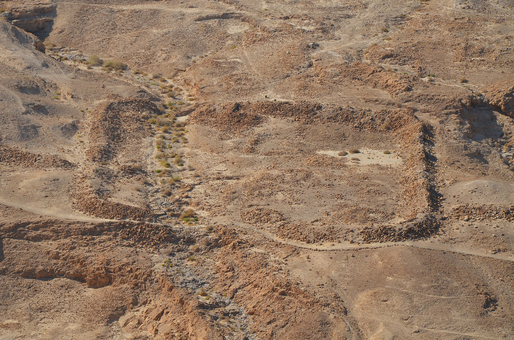
After the deposition and banishment of Herod Antipas, Machaerus passed to Herod Agrippa I until his death in AD 44, after which it came under Roman control. At the outbreak of the Jewish Revolt in AD 66, the Roman garrison abandoned the fortress into the rebel’s hands, who held it up until AD 72. In that year, the Roman legate Lucilius Bassus besieged the fortress by building a siege ramp on the ridge of the hill before taking and destroying it. The fortress was not rebuilt after that, but the Christians built a church on the eastern hill during the Byzantine period, calling the site Machaberos.

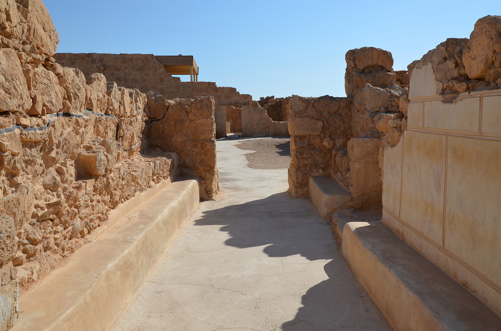
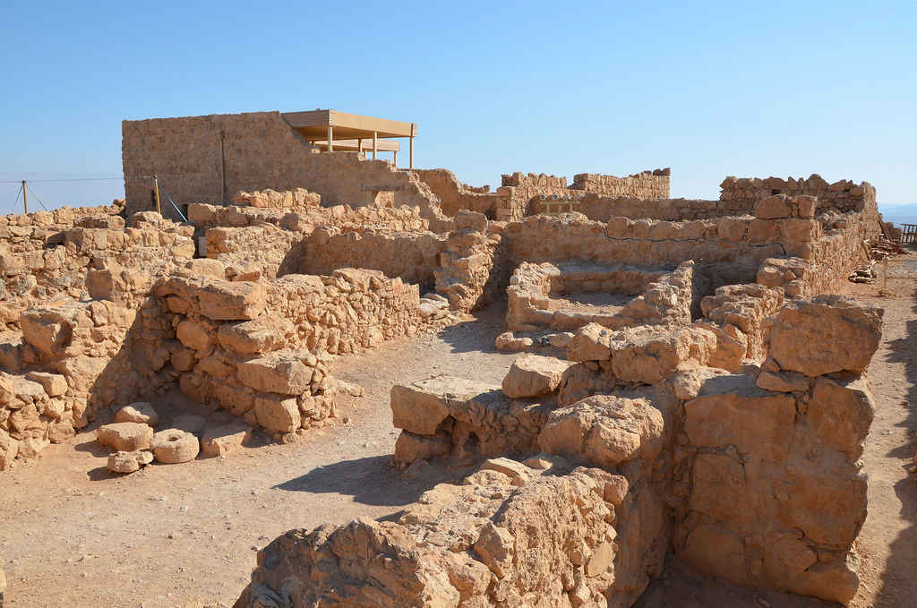
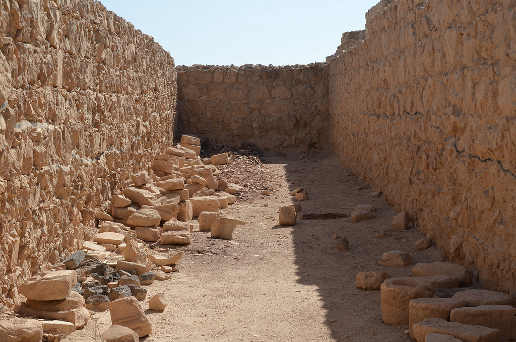
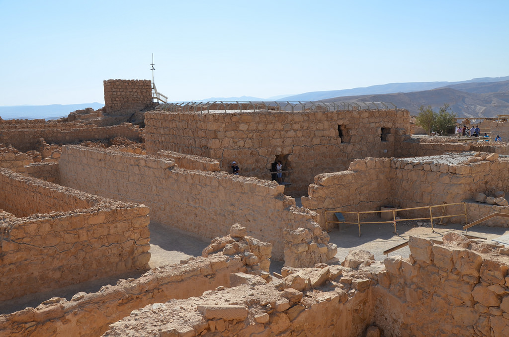
The site was rediscovered by the Frisian explorer Ulrich Jasper Seetzen in 1807. The archaeological excavation of Machaerus began in the 1960s by E Jerry Vardaman, then in the 1970s, 80s and 90s by Virgilio Canio Corbo and Michele Piccirillo. Since Father Piccirillo’s death in 2008, the Hungarian Academy of Arts has conducted archaeological excavations and architectural surveys on the ancient hilltop.

PORTFOLIO

The ruins of Herod’s palace.
The partially reconstructed royal courtyard with its apsidal throne-niche and Doric peristyle. There were originally 24 Doric columns (plus the 4 heart-shape-form ones at the corners), of which 11 column prints survived on the Stylobate. This is where Salome is believed to have danced for Herod Antipas.
The re-erected Doric column and the in situ and reconstructed Herodian Lithostrotos (“stone pavement”) in the royal courtyard.
View of the Dead Sea from the top of the mountain. Herod’s two other mountain-top palaces, Herodium near Bethlehem and Alexandrium near Jericho, can be seen. On a clear day, it is possible to see the towers of Jerusalem.
The remains of a triclinium for fancy dining.
The two re-erected complete Herodian columns of Machaerus, one Ionic and one Doric.
The Herodian royal bathhouse was Ionic in style. Inside the Apodyterium hall of the bathhouse, there could have been originally (most probably) 12 similar Ionic columns.
The remains of one of the bath pools.
A mosaic from the baths of the fortress. This is the most ancient mosaic found in Jordan.
The ruins of Herod’s palace.
The Roman siege ramp is similar to the one at Masada. However, this one was never completed.
The path leading to the fortress. An aqueduct, 15 m in height, brought rainwater from the nearby plateau to a series of cisterns on the mountain’s northern slope. The aqueduct also served as a bridge that connected the fortress to the high plateau.

Links:

Masada

The rock of Masada, located at the eastern edge of the Judean desert, is a place of majestic beauty. With a sheer drop of more than 400 m (1,300 ft) overlooking the Dead Sea, Masada is the most spectacular site in Israel and the scene of one of the most dramatic episodes in the country’s history.

Coordinates: 31° 18′ 56″ N, 35° 21′ 14″ E

Masada (which derives from a Hebrew word for “fortress”) was first fortified by Alexander Jannaeus (103-76 BC), one of the kings of the Hasmonean dynasty. The only written source on the history of Masada comes from Flavius Josephus‘ The Jewish War. Herod the Great captured it during the power struggle which followed the murder of his father, Antipater, in 43 BC. Under the influence of Rome, king Herod the Great built a series of palaces and buildings for himself and planned the fortress as a last refuge in the event of a revolt. Masada’s most impressive structure is his Northern Palace, constructed against the northern cliff face. It was built on three rock terraces, each containing grand rooms and supported by gigantic retaining walls to expand their size.

Model of Masada.
Model of Masada.

From AD 6, the Romans controlled Masada, but in the summer of AD 66, it became a place of refuge for Jewish rebels during the Great Jewish Revolt. The rebels turned the palaces into their command posts and used them as public buildings. In AD 73, the Roman governor of Judea, Lucius Flavius Silva, headed the Legio X Fretensis and laid siege to Masada. The Romans reached the steep fortress after constructing a huge earthen ramp on its western side. The remains of the Roman siege are the most complete examples of such a siege in the world. The siege ended tragically for the zealots, who decided to commit suicide rather than be captured by the Romans.

Declared a World Heritage Site in 2001, the Masada National Park features a Visitors’ Center, a fascinating interactive museum showcasing archaeological finds unearthed at Masada and a thrilling audio-visual production.

Visitors to Masada will find three ways to reach the fortress; on foot by hiking up the steep “snake path” on the east side, via the siege ramp on the west side or by cable car.

The Masada cableway, built in 1971 to carry people to the ruins at the top of the plateau.
The Masada cableway lifts visitors from well below sea level up to the top of the plateau. The original cable car was constructed in 1971 and later replaced in 1998 by an aerial tramway system.

PORtFOLIO

THE WESTERN PALACE

The entrance to the Western Palace, the largest structure in Masada, covering 3,700 square metres.
The entrance to the Western Palace. It was the largest structure in Masada, covering 3,700 square metres and the main ceremonial and administrative building.
The entrance to the Western Palace with Hellenistic-style wall painting featuring painted stucco panels imitating the facings of a real wall.
Overview of the Western Palace.
Mosaic floor with geometric patterns in the corridor leading to the bathhouse of the Western Palace.
Mosaic panel featuring a single rosette in the centre of a polychrome mosaic in the bathhouse of the Western Palace.

THE NORTHERN PALACE

Looking down on Herod's spectacularly situated Northern Palace, Masada
Looking down on Herod’s spectacularly situated Northern Palace.
view of the triple-terrassed northern palace. Herod designed it for personal use. Square staircase towers linked the three levels.
View of the three terraces of the Northern Palace. Square staircase towers linked the three levels. Herod designed this palace for personal use.
The lower terrace of Herod's Northern Palace.
The lower terrace of Herod’s Northern Palace. It was used for receptions and banquets, enclosed on all four sides with porticoes, and included a bathhouse.
The magnificent frescoes on the southern part of the lower terrace of Herod's Northern Palace.
The magnificent frescoes on the southern part of the lower terrace of Herod’s Northern Palace.
Close-up of the corners of the inner row of columns. The artists' efforts to imitate the veins of marble are characteristic of the period.
Close-up of the corners of the inner row of columns. The artists’ efforts to imitate the marble veins are characteristic of the period.
The middle terrace of Herod's Northern Palace, it was founded on concentric circular walls with an outer diametre of 15.3m, two rows of columns supported a pointed roof.
The middle terrace of Herod’s Northern Palace. It was founded on concentric circular walls with an outer diameter of 15.3m. Two rows of columns supported a pointed roof.
The upper terrace of Herod's Northern Palace where a small courtyard separated the semicircular balcony from mosaic-floored rooms.
The upper terrace of Herod’s Northern Palace, where a small courtyard separated the semicircular balcony from mosaic-floored rooms.

THE LARGE BATHHOUSE

Herod's large bathhouse located on the north side of the plateau. It is composed of several rooms - a cold, warm and hot baths, and dressing room.
Herod’s large bathhouse is located on the north side of the plateau. It was composed of several rooms; cold (frigidarium), warm (tepidarium) and hot baths (caldarium), and a dressing room (apodyterium).
North-east corner of the apodyterium (undressing room), the lower parts of the original frescoes have been covered by a tiny bathing pool added either by the Zealots or the Roman garrison.
North-east corner of the apodyterium (dressing room). The lower parts of the original frescoes have been covered by a tiny bathing pool added later by the Jewish Zealots.
A section of the hot room (caldarium) in Herod's large bathhouse with a double floor suspended over small stones and clay pillars.
A section of the hot room (caldarium) in Herod’s large bathhouse with a double floor suspended over small stones and clay pillars.
A section of the hot room (caldarium) in Herod's large bathhouse with clay pipes along the walls that were used to allow the hot air to warm up the side of the pool.
A reconstructed section of the hot room (caldarium) in Herod’s large bathhouse with clay pipes along the walls that were used to allow the hot air to warm up the side of the pool.

THE COMMANDANT’S RESIDENCE

The Commandant's Residence consisting of several rooms arranged around a central courtyard, Masada.
The Commandant’s Residence consists of several rooms arranged around a central courtyard.
Fresco decorating one of the rooms inside the Commandant's Residence.
Fresco decorating one of the rooms inside the Commandant’s Residence.
The Commandant's Residence consisting of several rooms arranged around a central courtyard.
The Commandant’s Residence consists of several rooms arranged around a central courtyard.

THE STOREROOMS COMPLEX

The storeroom complex.
The storeroom complex is located near the northern side of the hill. The complex included 29 long halls built side by side in long rows. Each storeroom was 27m long and 4m meters wide.
The storeroom complex. Each storeroom was used to hold a different commodity. This included essentials like olive oil, grains, nuts and seeds.
The storeroom complex. Each storeroom held a different commodity, including food essentials like olive oil, grains, nuts, seeds and wine (imported from Italy). In addition to food, the storerooms would have held weapons.
View of the storeroom complex and the large Bathhouse.

THE OFFICERS BARRACKS

The Officers Barracks located in the center of the hill.
The Officer’s Barracks is located in the centre of the hill.

THE CISTERNS

One of the cisterns built at the top of Masada to preserve water during times of siege and to supply the king’s swimming pools and baths.
One of the cisterns was built at the top of Masada to preserve water during times of siege and to supply the king’s swimming pools and baths.
One of the cisterns built at the top of Masada. Herod had a huge network of 12 cisterns on two levels dug out of the stone at the base of the mountain on the northwestern slope.
Herod had a vast network of 12 cisterns dug out of the stone at the mountain’s base on the northwestern slope, each holding roughly 3,450m3 of water. One of the cisterns was built at the top of Masada. Donkeys would transfer the water to other cisterns on the top of Masada.

THE COLUMBARIUM TOWERS

One of the columbarium towers with niches for doves an pigeons located on the south side of Masada.
The circular columbarium with niches for doves and pigeons is located on the south side of Masada.
One of the columbarium towers with niches for the raising of pigeons for their meat, and bird droppings which were used as a fertilizer for growing food.
One of the columbarium towers with niches for raising doves and pigeons. Bird droppings were used as agricultural fertilizer. These birds were also used for sending messages and supplying meat to the Masada’s inhabitants.

THE DEFENSE WALLS AND GATES

The defense wall surrounding the mountain top and built by Herod, it was 4m wide and 6m high with 37 towers 25m high every 70-80 metres.
The defence wall surrounding the mountain top and built by Herod. It was 4m wide and 6m high with 37 towers 25m high every 70-80 metres.
The South Gate.
The South Gate.

THE ROMAN SIEGE RAMP AND CAMPS

View from the hilltop of Masada of the Roman siege ramp and remnants of Camp E, one of several legionary camps.
Remnants of Camp A, one of several legionary camps seen from the hilltop.
Remnants of Camp B, one of several legionary camps just outside the circumvallation wall around Masada seen from the hilltop.
Remnants of Camp B, one of several legionary camps just outside the circumvallation wall around Masada, seen from the hilltop.
Remnants of Camp C, one of several legionary camps just outside the circumvallation wall around Masada seen from the hilltop.
Remnants of Camp C, one of several legionary camps just outside the circumvallation wall around Masada, seen from the hilltop.
Remnants of Camp D, one of several legionary camps just outside the circumvallation wall around Masada seen from the hilltop.
Remnants of Camp D, one of several legionary camps just outside the circumvallation wall around Masada, seen from the hilltop.
Remnants of Camp E, one of several legionary camps just outside the circumvallation wall around Masada seen from the hilltop.
Remnants of Camp E, one of several legionary camps seen from the hilltop.
Remnants of Camp F, one of several legionary camps just outside the circumvallation wall around Masada seen from the hilltop.
Remnants of Camp F, one of several legionary camps just outside the circumvallation wall around Masada, seen from the hilltop.
Remnants of Camp F, one of several legionary camps just outside the circumvallation wall.
Roman catapult stones dating from the First Jewish Revolt.

Links:

Bibliography:

  • Yadin, Yigael. Masada: Herod’s Fortress and the Zealots’ Last Stand. London, 1966