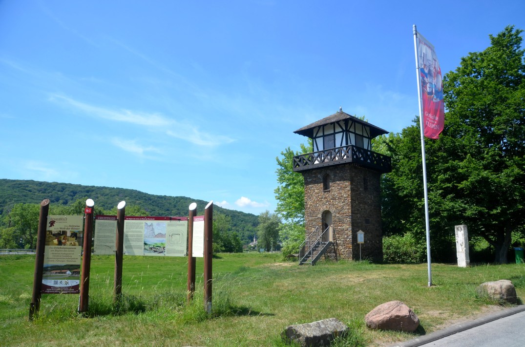
Starting on the Rhine near Rheinbrohl, the Limes UNESCO World Heritage site runs for a length of about 550 km through Germany on the right of the Rhine up to the Danube west of Regensburg. The beginning of the Upper Germanic Limes, the caput limitis, is marked by the watchtower Wp 1/1 and information boards in the territory of Bad Hönningen in Rhineland-Palatinate.
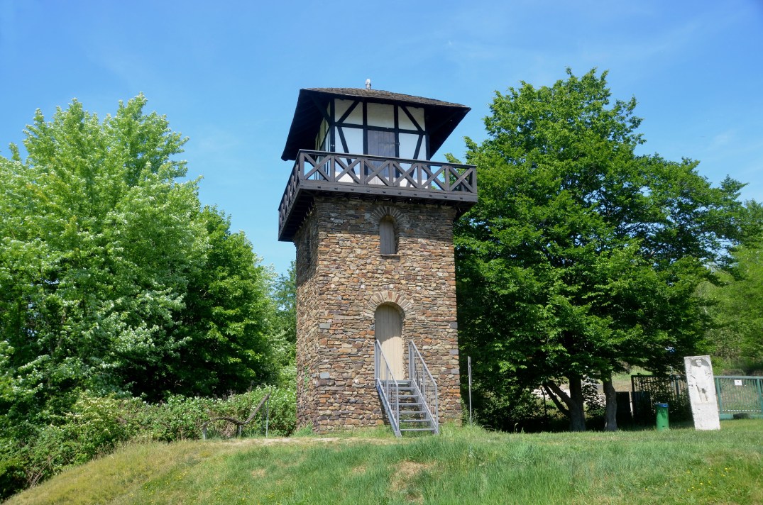
Unfortunately, the first stretch of the Limes and the small fort at Rheinbrohl have been completely destroyed due to gravel extraction. Similarly, the Limes tower 1/1, the first watchtower which was presumably located at the beginning of the Limes near the bank of the Rhine, no longer exists. In 1974, Wp 1/1 was reconstructed between Rheinbrohl and Bad Hönningen with Roman quarry stones. It stands about 120 m south east of its original location. Unfortunately, the construction of this tower does not correspond to the scientific findings on the appearance of Limes watch towers.
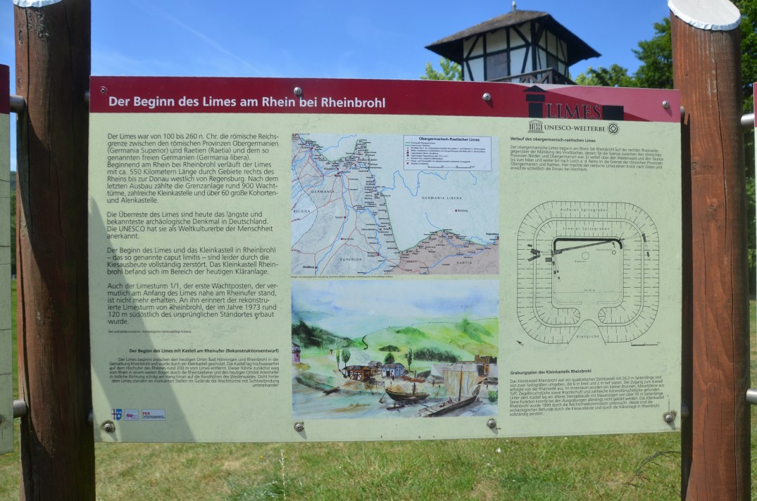

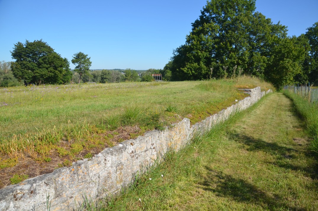
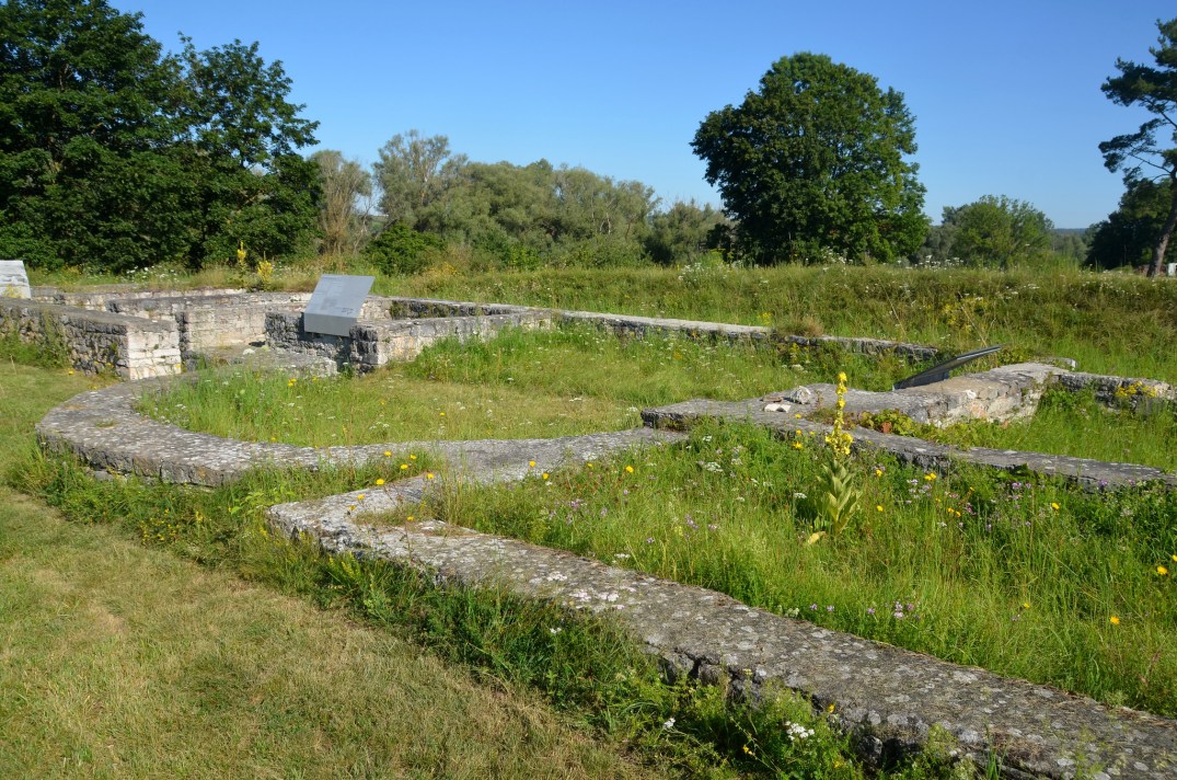
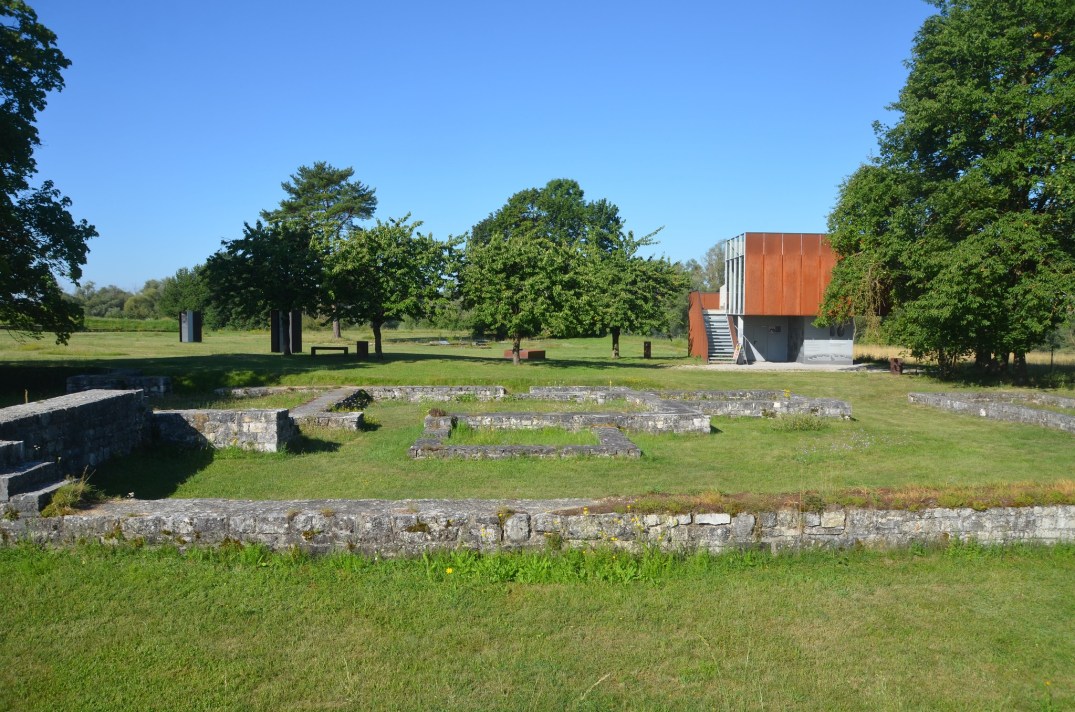
The small fort Rheinbrohl was discovered and excavated in the autumn of 1899. It was a square stone fort, about 26 meters in length, with a total area of about 0.07 hectares. It was surrounded by two ditches with widths of 6 m and depths of 2 m. The interior of the camp was occupied by a single building with a well in the courtyard.
The fort was built during the reign of Commodus (AD 180-192) on the site of an older Roman building. However, the full extent and former function of these buildings could not be clarified by the excavations. At an unspecified date, probably in the late construction phase of the Limes, it was destroyed by a fire. Nothing is known about the garrison. The fortlet may have housed the vexillatio of a larger auxiliary unit stationed nearby.

Source: E. Fabricius, F. Hettner, O. of Sarwey (ed.): The Upper Germanic-Raetian Limes of the Roman Empire . Dept. A, Volume 1, Lines 1 and 2 (1936). Plate 3, Figure 2
Rheinbrohl is also home to the official Limes visitor centre for the Rhineland-Palatinate, the RömerWelt (website). The museum opened its doors to the public in August 2008 and introduces the visitor to the broad topic of the Romans and the Limes in an interactive and playful way. It’s where Roman history comes alive.

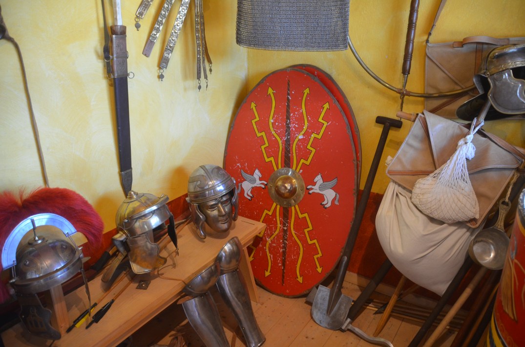
In the main building, a large exhibition room has many exhibits and information boards about everyday life and trade on the Limes.


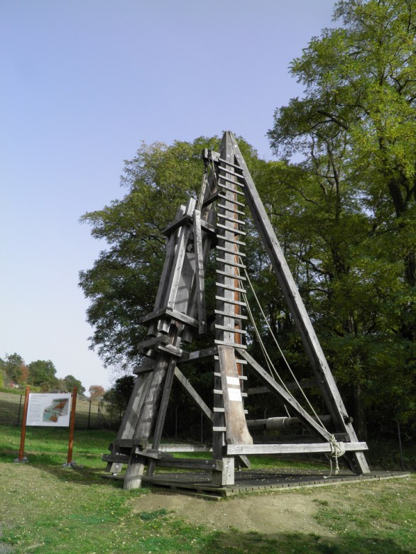
In the outdoor area are several small exhibition rooms including a reconstructed barrack room for a contubernium (a squad of eight soldiers), a reconstructed latrine as well as blacksmith and stone-masonry workshops. In addition, two functional ovens are regularly used for bread making events. There is also a replica of a Roman pile driver used at the construction of Caesar’s Rhine bridges (55 BC).




In the courtyard of the RömerWelt, a section of the border fortifications of the Limes was reconstructed. The fortifications of the Limes consisted of a ditch, a rampart and about 3 m high oak palisades. Wherever possible, the Romans used natural boundaries such as rivers, mountain ranges or the coastline. However, when necessary, they also created artificial barriers such as the Limes in Germany.

The RömerWelt offers many events and hands-on activities. There are regular events related to the life of the Romans during the opening period from March to mid-November, as well as theme Sundays with workshops.
Opening hours: Tuesday-Friday from 10 am to 5 pm / Saturday-Sunday from 10 am to 6 pm
Another Limes palisade was erected in the vicinity of the RömerWelt. It has an information board showing the four phases of construction of the Limes and marks the entrance to the Limes hiking trail through the Rheinbrohl forest (the RömerWeltWeg).
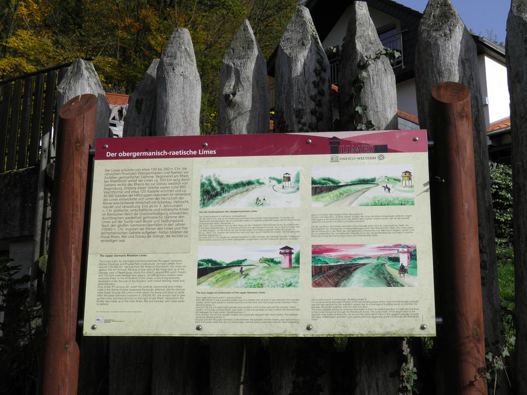
- From AD 98-100 (Trajan’s reign) it was a guarded border way on a treeless strip of land. It was watched from wooden towers which were placed in marked positions on the land, and had visual contact between them.

Illustration: Heike Wolf von Goddenthow
- Around AD 120 (Hadrian’s reign), a 3 metre high palisade was erected in front of the road and the wooden watchtowers. In this way a closed border was made. It was possible to cross it where the Romans had left passages for trade routes.
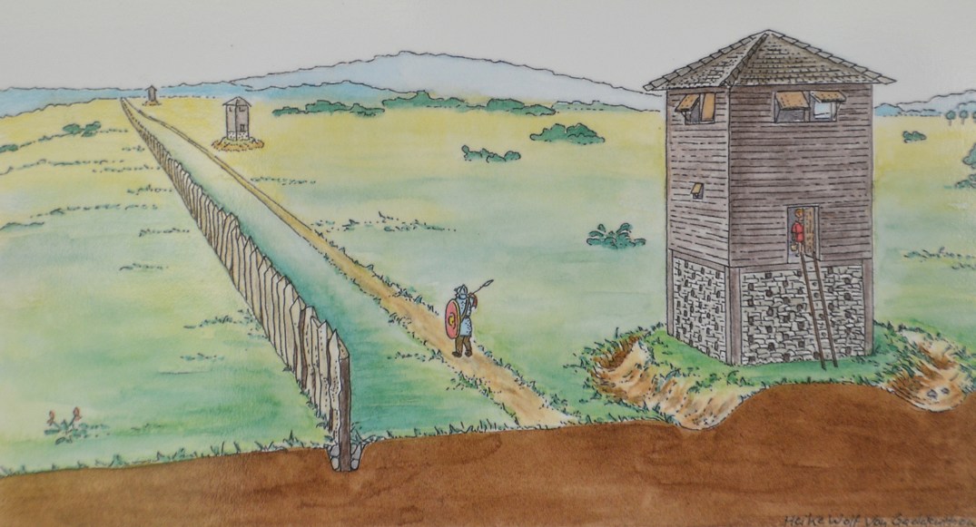
Illustration: Heike Wolf von Goddenthow
- From around AD 150 (Antoninus Pius’ reign), the wooden towers were gradually replaced with stone towers. The palisade remained.
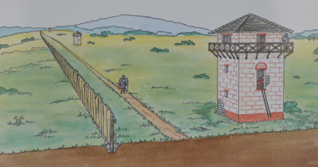
Illustration: Heike Wolf von Goddenthow
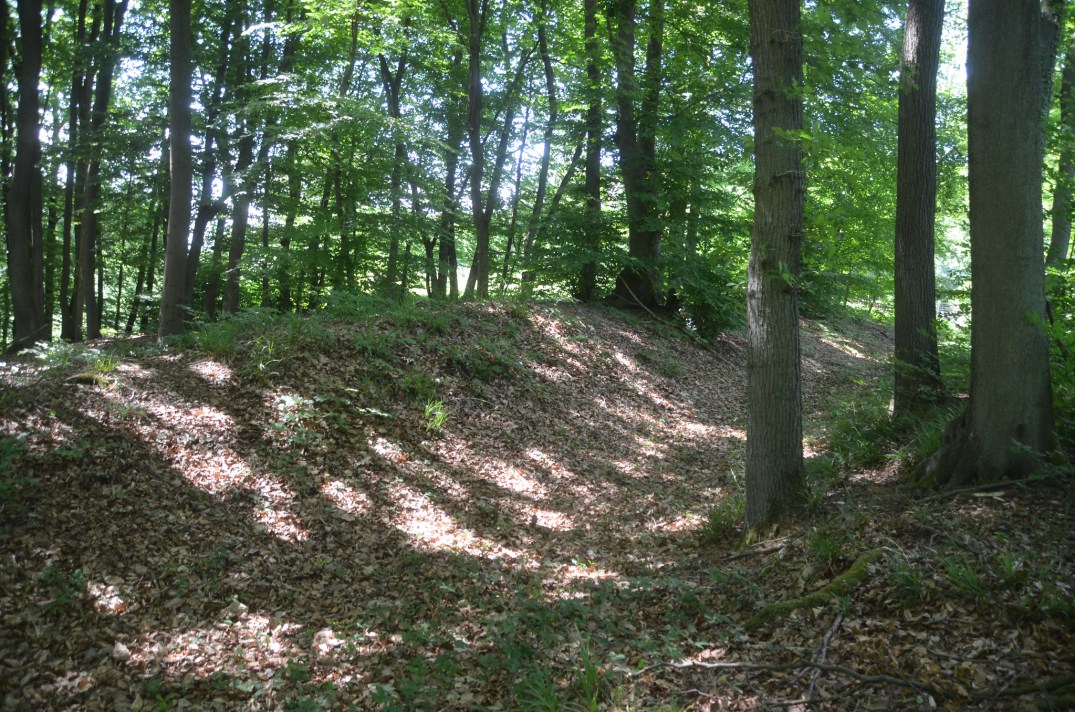
- Around AD 200, the Limes between the palisade and the towers, was replaced was a ditch 6-8 metres wide and up to 3 metres deep, and the earth excavations behind, were heaped up into a wall around 3 metres high.

The course of the western section of the Limes as it is today, i.e. in Rhineland-Palatinate and Hesse, was established by the beginning of the 2nd century AD, while the outer line to the south (Baden-Württemberg and Bavaria) was not completed until at least 60 years later.
The RömerWeltWeg at Rheinbrohl is 8.4 km long circular path (duration approx. 2.5 hours) and starts at the car park of the RömerWelt. En route visitors will reach interesting places with reconstructions, but also original finds from the Limes. A wooden tower replica was built as a lookout tower for Wp 1/9. Its viewing platform offers great views over the Rhine valley.


The map to the RömerWeltWeg can be downloaded here.