Severan Bridge

The Severan Bridge (also known as Cendere Bridge) is a Roman bridge located near the ancient city of Arsameia (today Eskikale), 55 km northeast of Adıyaman in southeastern Turkey. It spans the Cendere River, which was known as Chabines in antiquity. Built by the Sixteenth Roman Legion stationed at Samosata (Samsat) in the last years of the 2nd century AD, it replaced an earlier bridge probably built under the emperor Vespasian (AD 69-79). It is one of the best-preserved Roman stone bridges in Turkey.

Coordinates: 37° 55′ 56.64″ N, 38° 36′ 29.52″ E

The bridge, part of the road to Nemrud Daği, was constructed as a single-vaulted arch spanning two rocks at the narrowest point of the creek. With a span of 34.2 m, the structure is the second-largest extant arch bridge. It is 123 m long and 7.50 m wide.

Inscriptions on the bridge revealed that it was built by the XVI Flavia Firma, a Roman legion stationed in the ancient city of Samosata. The Sixteenth took part in the two campaigns of Lucius Septimius Severus (194 and 197-198), which culminated in the capture of the Parthian capital, Ctesiphon, and the re-establishment of the province of Mesopotamia. The area was reorganised, and the legion’s soldiers deployed there bridged the river Chabinas.

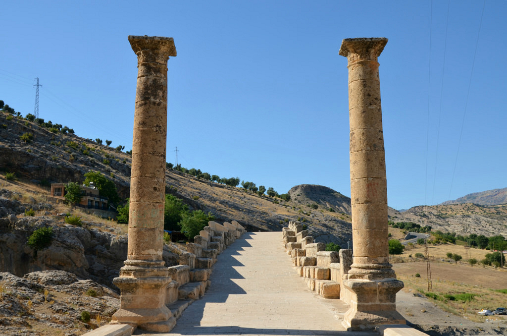
There were originally four columns located at each end of the bridge, erected by the four Commagenean cities (Samasata, Perre, Doliche and Germaniceia). The inscriptions on these columns state that the columns at the southeastern end of the bridge were dedicated to Septimius Severus and his wife Julia Domna, while the columns at the other end of the bridge were dedicated to their two sons, Geta and Marcus Aurelius Severus Antoninus. The latter eventually reigned as Caracalla (211-217), had his brother Geta killed and erased him from history. Geta’s column was, therefore, removed from the bridge after his assassination.

The Severan Bridge is located within one of Turkey’s most important national parks. It contains Nemrut Dağı, with the famous remains of the large statues dedicated by King Antiochus Theos of Commagene. UNESCO declared it a World Cultural Heritage site.

Until recently, cars and small trucks weighing up to 5 tons were allowed to cross the bridge. The bridge was restored in 1997, and another road bridge was built 500 m to the east. The Severan Bridge is now closed to all but pedestrians.

PORTFOLIO
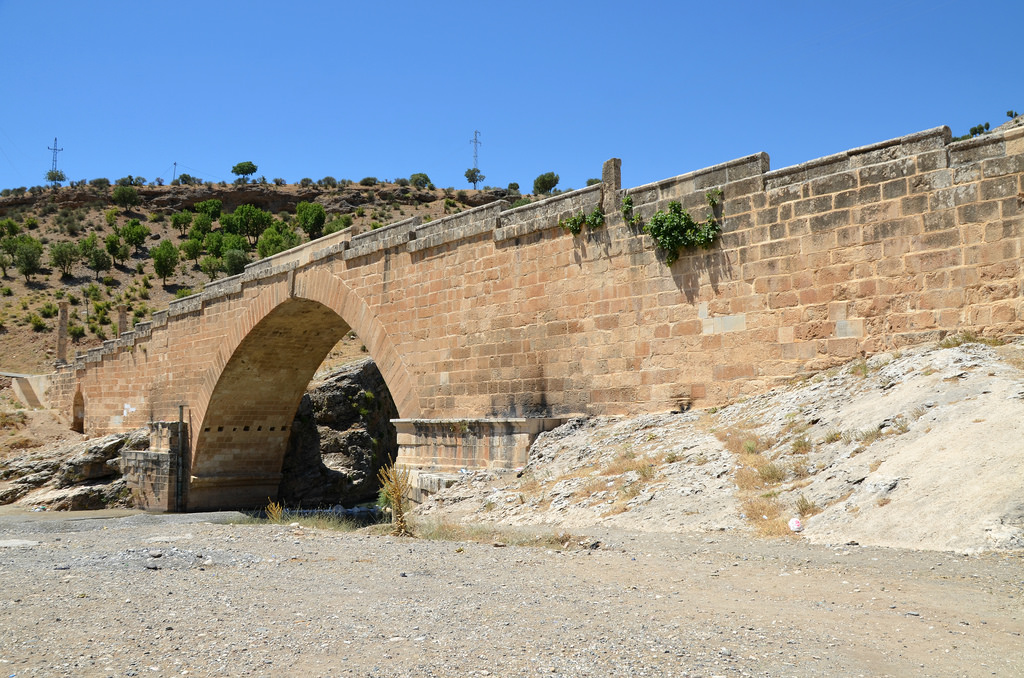
The east side of the Roman bridge at Cendere.
The west side of the Roman bridge at Cendere.
The two columns dedicated to the emperor Septimius Severus and his wife Julia Domna.
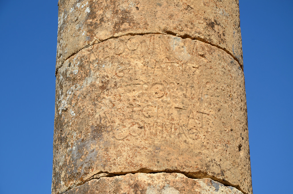
Inscription on the column dedicated to Septimius Severus.
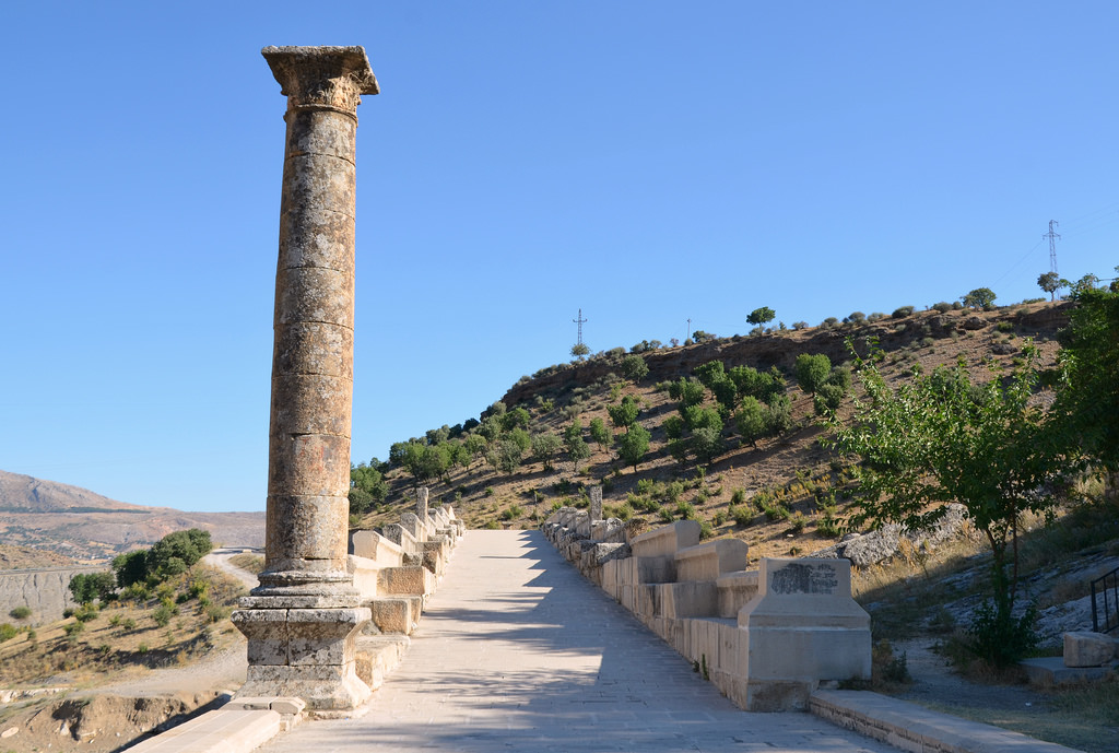
The road on the Roman bridge at Cendere.
Inscription on the column dedicated to Julia Domna.
The east side of the Roman bridge at Cendere.
The column dedicated to Marcus Aurelius Severus Antoninus (Caracalla).

CIL 03, 06709
Imp(erator) Caes(ar) L(ucius) Septi/mius Severus Pius / Pertinax Aug(ustus) Ara/bic(us) Adiab(enicus) Parthic(us) / princ[e]ps felic(um) pon/tif(ex) max(imus) trib(unicia) pot(estate) / XII imp(erator) VIII co(n)s(ul) II / proco(n)s(ul) et Imp(erator) Caes(ar) / M(arcus) Aurel(ius) Antoni/nus Aug(ustus) Augusti / n(ostri) fil(ius) proco(n)s(ul) imp(erator) III / et P(ublius) Septimius [[Ge]]/[[ta]] Caes(aris) fil(ius) et fra/ter Augg(ustorum) nn(ostrorum) / pontem chabi/nae fluvi a so/lo restituerunt / et transitum / reddiderunt / sub Alfenum Senecionem / leg(atum) Augg(ustorum) pr(o) pr(aetore) curante Ma/rio perpetuo leg(ato) Augg(ustorum) leg(ionis) / XVI F(laviae) F(irmae)

CIL 03, 06710
Imp(erator) Caes(ar) L(ucius) Septi/mius Seve[r]us [P]i/us Pe[r]tinax Aug(ustus) / Arab(icus) Adiab(enicus) Par/thic(us) princ[e]ps Felix pont(ifex) m(aximus) / t[r]ib(unicia) potest(ate) XII / imp(erator) VIII [c]o[n(sul)] I[I] / proco(n)s(ul) et [Imp(erator)] / Caes(ar) M(arcus) Aurelius An/toninus Aug(ustus) Au/g(usti) n(ostri) f(ilius) proc[o](n)s(ul) / imp(erator) III et [P(ublius)] Septi/mius [Geta] Caes(ar) / [fil(ius)] et frat(er) Augg(ustorum) / nn(ostrorum) pontem Ch/abinae fluvi a so/lo restituerunt / et transitum red/diderunt / [sub Alfeno S]enecione leg(ato) / [Augg(ustorum) pr(o) pr(aetore) cu]rante Mario Per/[petuo leg(ato)] Augg(ustorum) leg(ionis) XVI Fl(aviae) F(irmae)

The east side of the Roman bridge at Cendere.

Links:

Yazilikaya Hittite Rock Sanctuary

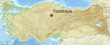
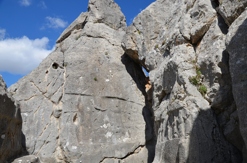
Yazılıkaya (“Inscribed Rock”) is a Hittite rock sanctuary located about 1.5 kilometres northeast of Hattusa, the capital city of the Hittite Empire. It is the largest known Hittite rock monument. The sanctuary consisted of a temple-like building and two open-air chambers cut into the bedrock.

Coordinates: 40° 1′ 30″ N, 34° 37′ 58″ E

Yazilikaya

The Yazılıkaya sanctuary served as a place for the celebration of the arrival of the New Year each spring. These ceremonies took place in the open air in front of the Hittite Pantheon. The sanctuary was made of two rock chambers, later labelled Chamber A and Chamber B, by archaeologists. The walls of each chamber were covered with the richest and most striking samples of Hittite relief art. They featured gods and goddesses and the figures of the Great King Tudhaliya IV (ca. 1237 – 1209 BC). There are a total of 83 images, 66 in Chamber A and 17 in Chamber B.

Human activity on the site probably began in the 16th century BC, although what we see today is probably the result of modifications made in the late 13th century BC, not long before the Hittite Empire began its steep and mysterious decline.

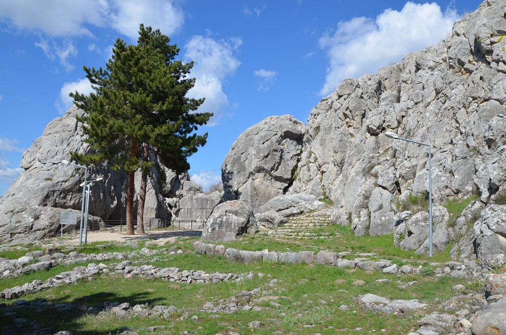
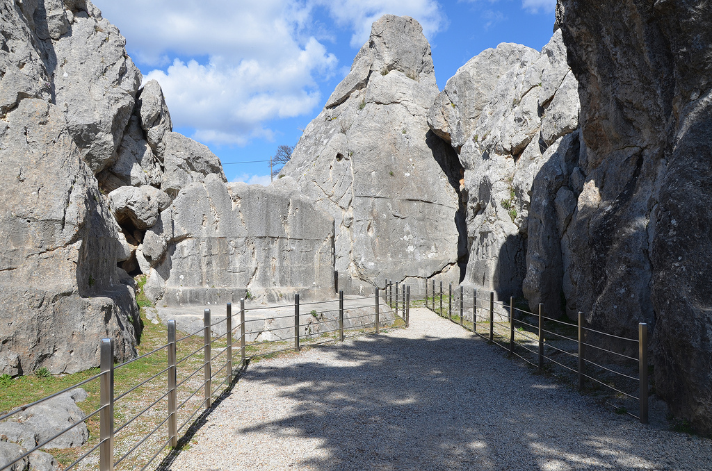
The entrance to Yazılıkaya sanctuary.

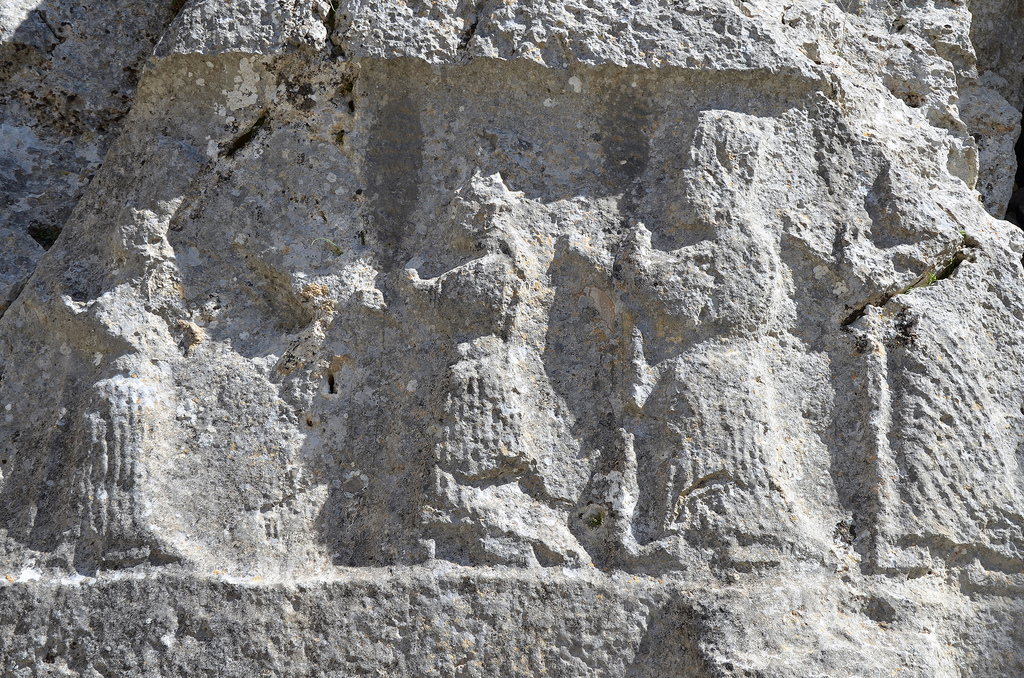
Chamber A, the largest of two chambers, is 30 metres long and about 20 metres wide. Its walls are almost entirely decorated with reliefs running horizontally. The deities are aligned in two rows, perhaps in procession, with male figures on the left wall (with two female attendants) and female figures on the right wall. The name of each deity is given in Luwian hieroglyphs above their raised hands, but due to natural deterioration, some parts of these names have disappeared. These two rows are directed towards the main scene in the middle, where the Storm God Teshup and the Sun Goddess Hepat meet.

Engraving from a relief at Yazilikaya by French archaeologist Charles Texier (1882).
Teshub stands on two deified mountains (depicted as men) alongside his wife Hepatu, standing on the back of a panther. Behind her, their son, daughter and grandchild are carried by a smaller panther and a double-headed eagle.

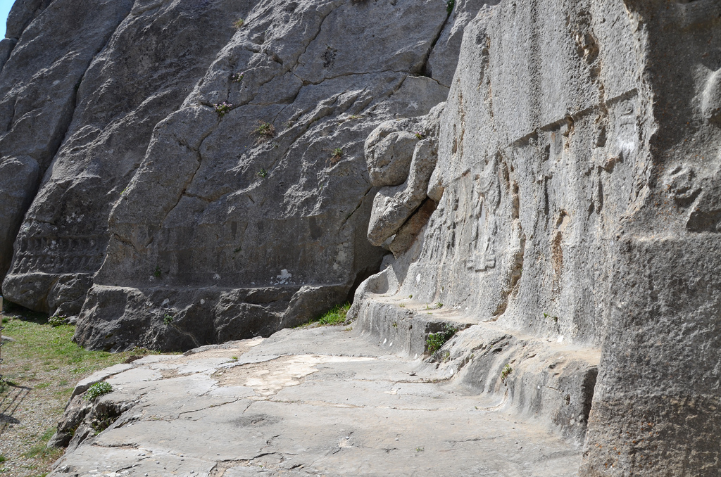
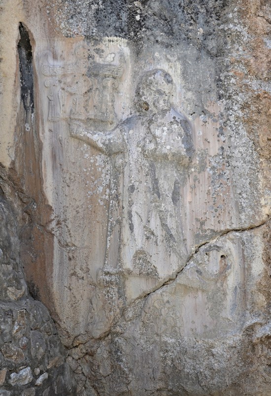
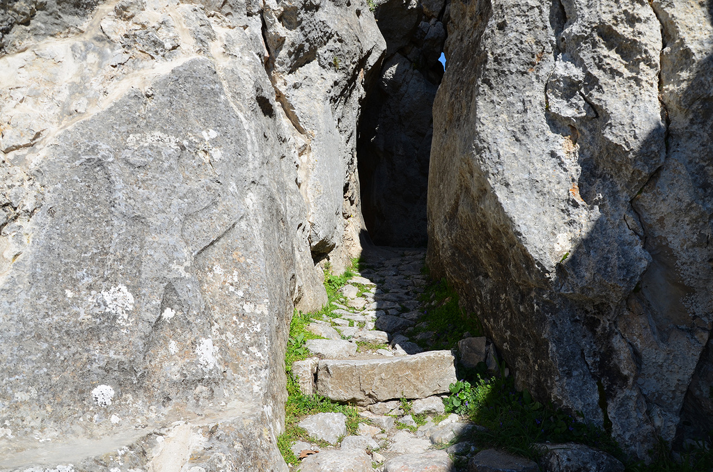
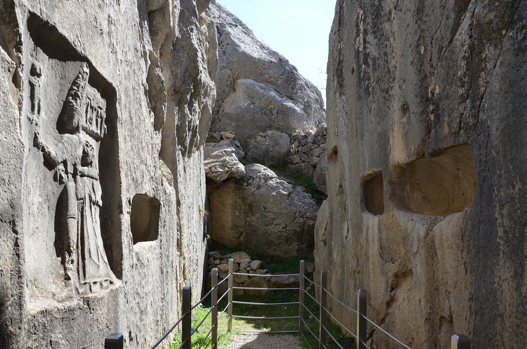
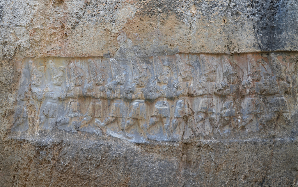
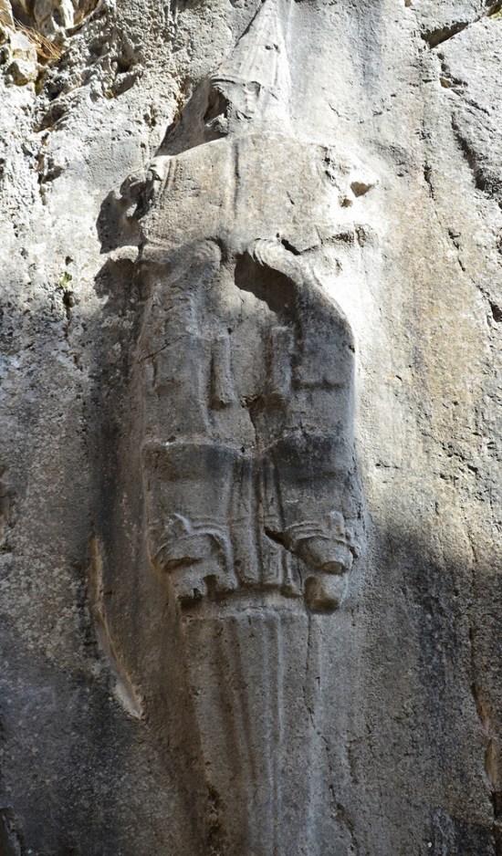
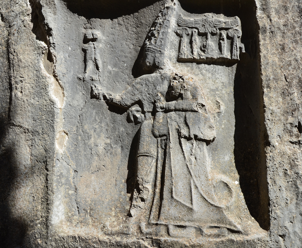
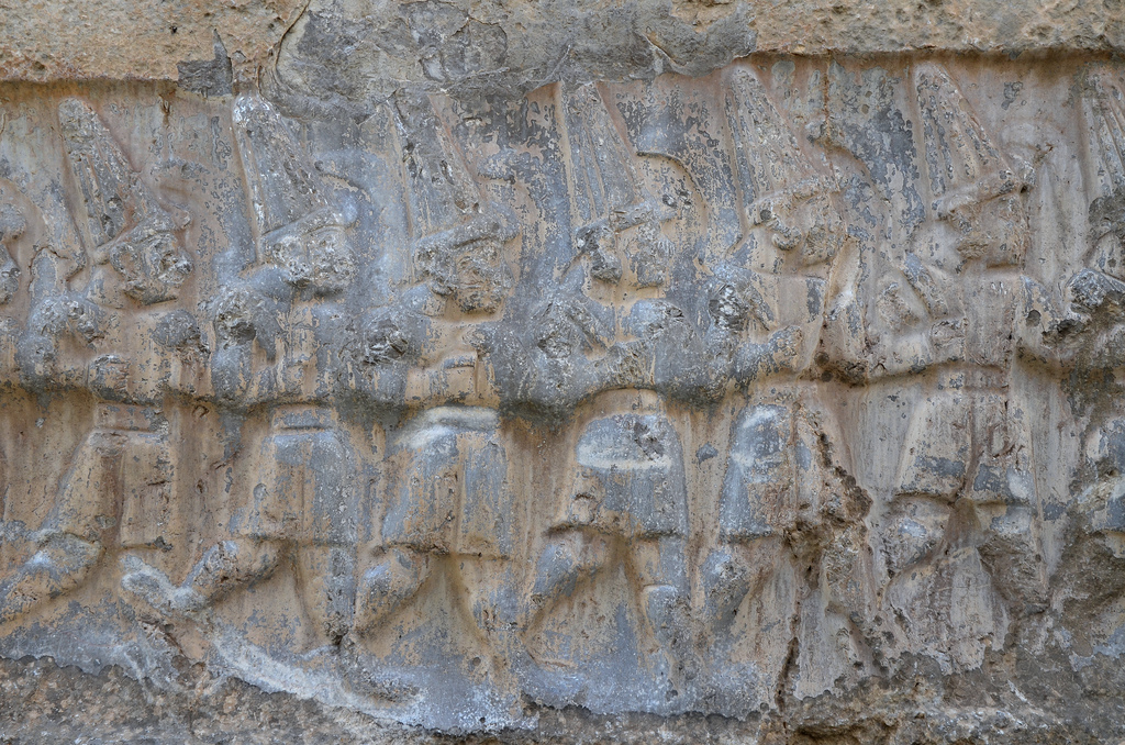
Chamber B is accessible via a narrow passage with winged demons on both sides. Chamber B was believed to have been built as a memorial chapel for Tudhaliya IV, dedicated by his son Suppiluliuma II at the end of the 13th century BC. Buried until the mid-19th century, the reliefs on the walls are much better preserved than those in Chamber A. A line of gods of the Underworld is pictured on the wall immediately to the right of the entrance. On the opposite wall is a representation of Nergal, the God of the Sword and the Underworld. To the left of this relief, a cartouche with the name of Tudhaliya IV is visible, and this same king is shown embracing the Thunder God Teshub on the right side.

PORTFOLIO

Chamber A

Overview of Chamber A.
Chamber A, rock relief depicting a procession of male deities.
Chamber A, two bull men stand between male gods on the hieroglyphic symbol of the earth and supporting the sky.
In Chamber A, two bullmen stand between male gods on the hieroglyphic symbol of the earth and supporting the sky.
Left wall of Chamber A depicting male gods.
The left wall of Chamber A depicts male gods.
Chamber A, main relief scene with
Chamber A, main scene in the middle of the chamber where Teshup and Hepat meet and female goddesses in procession on the right wall.
Chamber A, goddesses in procession.
Chamber A, main scene depicting (left to right) the God Kumarbi (chief god of the Hurrians), the weather and storm god Teshuba, the earth goddess Hepat, Sharumma (son of Teshuba & Hepat) and Alanzu (daughter of Teshup Hepat).
Chamber A, relief depicting the sanctuary's founder, King Tudhaliya IV, standing on two mountains.
Chamber A, relief depicting the sanctuary’s founder, King Tudhaliya IV, standing on two mountains.

Chamber B

Entrance to Chamber B with a relief of a winged, lion-headed demon.
Entrance to Chamber B with the relief of a winged, lion-headed demon.
Chamber B.
Chamber B. The narrow gallery is thought to be a memorial chapel for Tudhaliya IV, dedicated by his son Suppiluliuma II
Chamber B, the niches were probably used for offerings.
West wall of Chamber B depicting the twelve Gods of the Underworld.
The west wall of Chamber B depicts the twelve Gods of the Underworld.
East wall of Chamber B with a depiction of Negal, the Sword God and God of the Underworld.
The east wall of Chamber B has a depiction of Negal, the Sword God, and the God of the Underworld.
Chamber B, cartridge showing the name and title of King Tudhaliya IV.
Chamber B, cartouche showing the name and title of King Tudhaliya IV.
The East wall of Chamber B depicts in a niche the God Sharruma (son of the Thunder God Teshub) embracing King Tudhaliya IV. The god has his left arm over the king’s shoulders while holding the king’s right wrist. The god wears a short tunic and has pointed shoes. The king wears a long coat and carries a sword and a lituus.
West wall of Chamber B depicting the twelve Gods of the Underworld.
The west wall of Chamber B depicts the twelve Gods of the Underworld.

Links:

Sources: