Laodicea on the Lycus

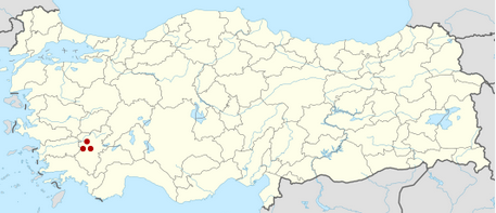
Laodicea on the Lycus (Latin: Laodicea ad Lycum) is an ancient city located in present-day western Turkey, near the modern town of Denizli. Founded in the 3rd century BC along the river Lycus by Seleucid King Antiochus II, the city was named in honour of his wife, Laodice. It became one of the most important and prosperous commercial centres in Asia Minor, situated on the trade route from the East, and was well-known for its woollen and cotton textiles. Laodicea is mentioned as one of the Seven Churches in the Book of Revelation (1:11, 3:14-22) and is also referenced in Paul’s letter to the Colossians (4:16). In 2013, the site was added to UNESCO’s World Heritage Tentative List.

Coordinates: 37° 50′ 9″ N, 29° 6′ 27″ E
laodicea

Laodicea was built on a high plateau overlooking the Lycus River Valley and covered more than five square kilometres. Excavations have revealed that the town was continuously inhabited from the Chalcolithic Period (around 5500 BC) until the 7th century AD. The settlement was originally known as Rhoas (located on Asopos Hill), then as Diopolis (meaning City of Zeus), and finally as Laodicea (Laodikeia). In 188 BC, the city became part of the Kingdom of Pergamon and later came under Roman control in 133 BC when the last king of Pergamon, Attalus III, bequeathed his entire empire to Rome. Cicero, the renowned Roman orator and statesman, served as the governor of the province, primarily residing in Laodicea. In 60 BC, during Nero’s reign, the city was devastated by a powerful earthquake but was subsequently rebuilt. Laodicea experienced a resurgence during the early 2nd century AD and once again in the 3rd century AD, under the rule of Roman emperors Hadrian and Caracalla.

Laodicea became an important commercial centre thanks to its location on the crossroads of major trade routes: north-south between Sardis and Perga and east-west from the Euphrates to Ephesus. The most important trade was textiles. Besides, marble, grain and livestock commerce also provided an essential income to the city. The land surrounding Laodicea was fertile, providing excellent pastures for large flocks of sheep.

The city gained prominence as a Christian centre and as a place of religious pilgrimage in the Early Byzantine Period. Extant churches among the ruins date from the 4th to the 7th centuries AD. In 2010, a well-preserved church built during the reign of Constantine the Great was discovered using ground-penetrating radar. The excavations and restorations of this large basilica have been nearly completed over the past two years. By the end of the 5th century AD, a powerful earthquake devastated Laodicea, leading to a decline in its importance. The city was never rebuilt, and its inhabitants relocated to nearby cities such as Denizli.

Today, Laodicea boasts impressive remains of the ancient city, including two theatres, the biggest stadium of Anatolia, four bath complexes, five agoras, five nymphaea, temples, churches and monumental colonnaded streets. Over the past seven years, excavation work in the ancient city has uncovered approximately 2,300 artefacts, including the Laodicean Church, the monumental columns of the Sacred Agora, and a marble block inscribed with a “water law” that dates back to AD 114. Restoration of the Western (Hellenistic) Theatre is currently in progress and is expected to be completed by the end of 2020. Additionally, a three-meter-high statue of Emperor Trajan was discovered in 2019. The statue depicts Trajan in full military regalia, towering over a much smaller figure of a prisoner.

PORTFOLIO
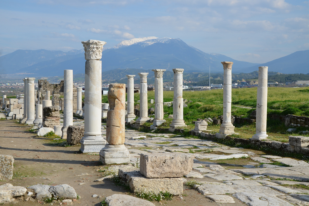
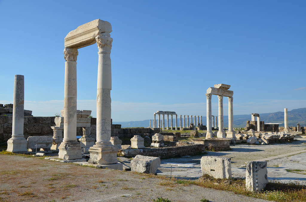
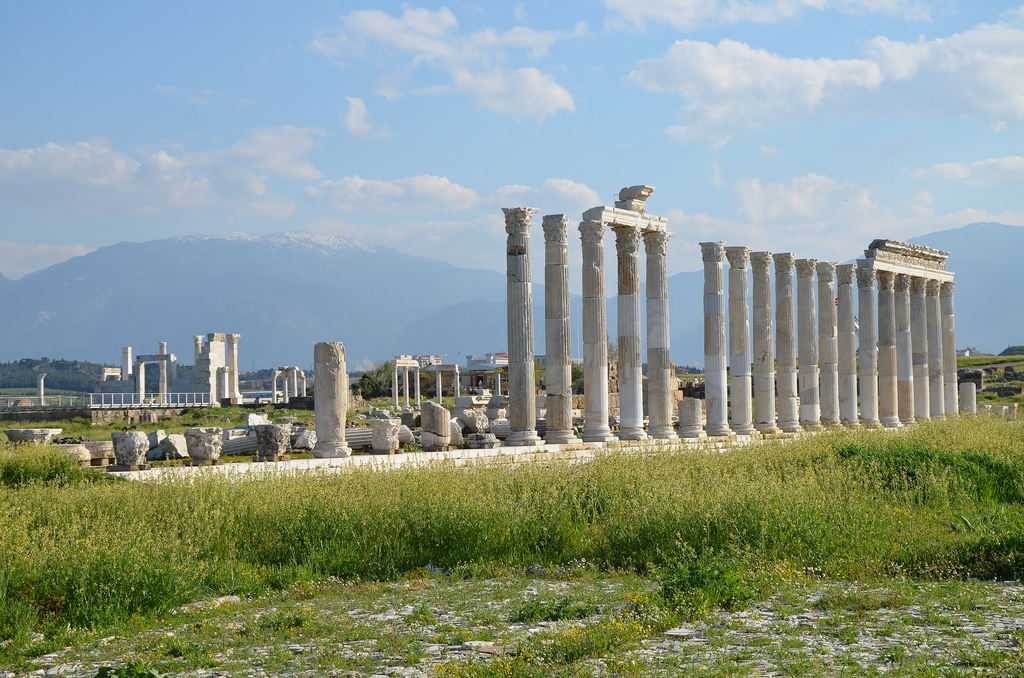
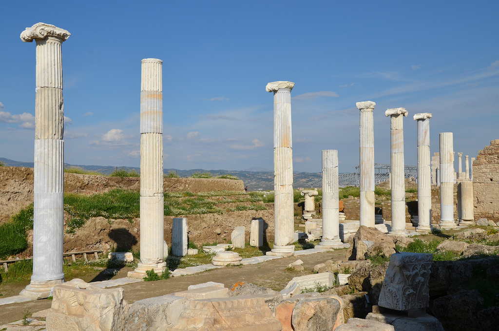
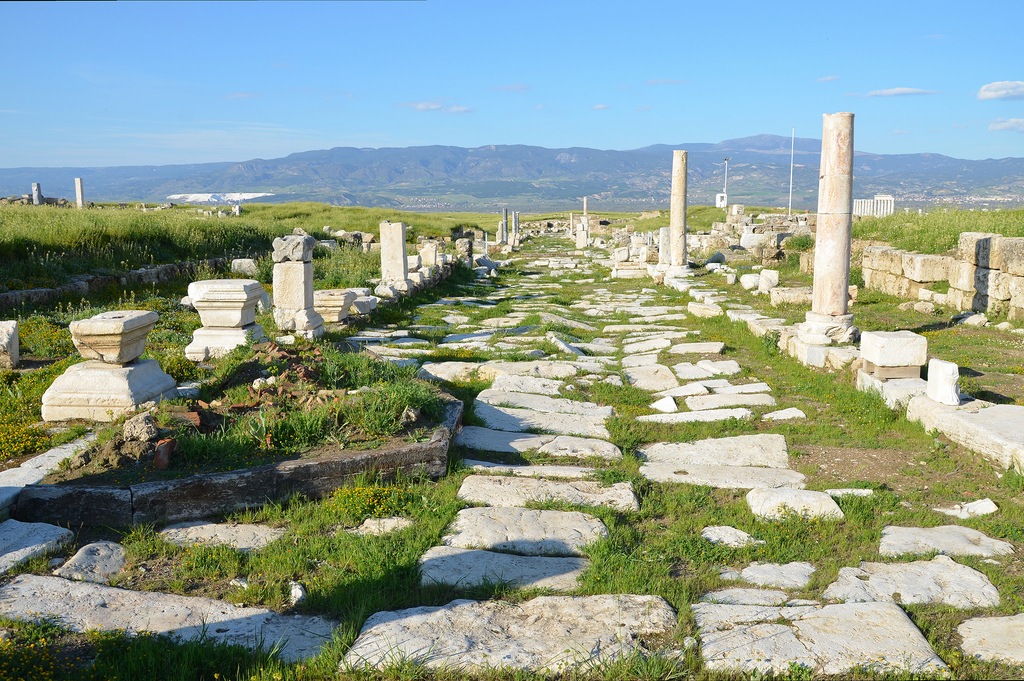
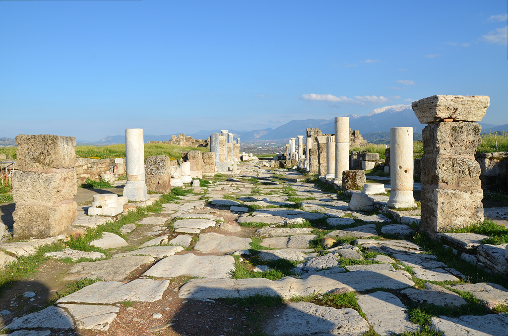
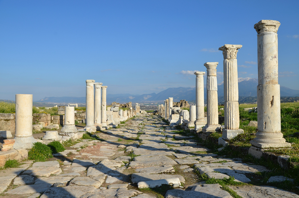
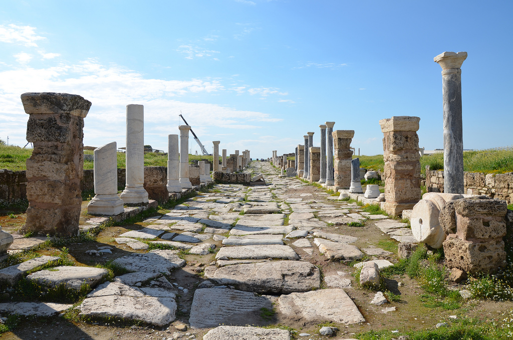
Syria Street was the main street of Laodicea, stretching nearly one kilometre. It was built in the Doric order in AD 84-85 during the proconsulship of S. Iulius Frontinus. It was later repaired using the Corinthian order.
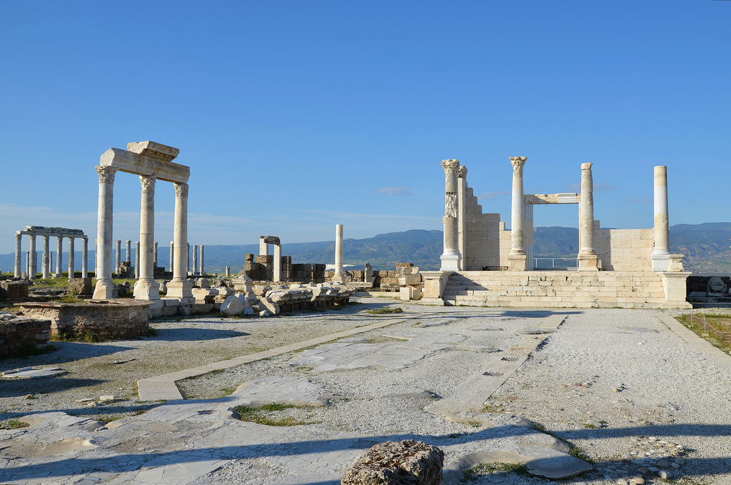
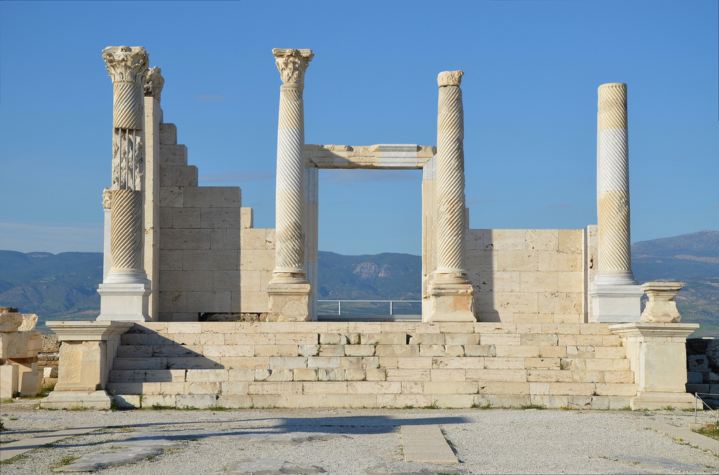
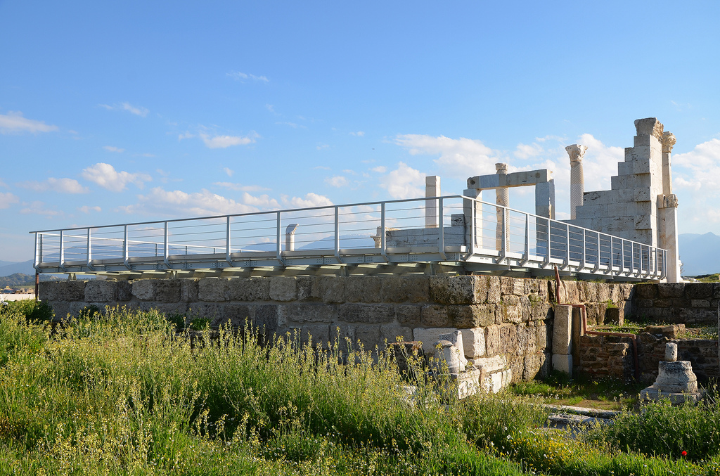
Temple A, built in the 2nd century AD during the Antonine period.
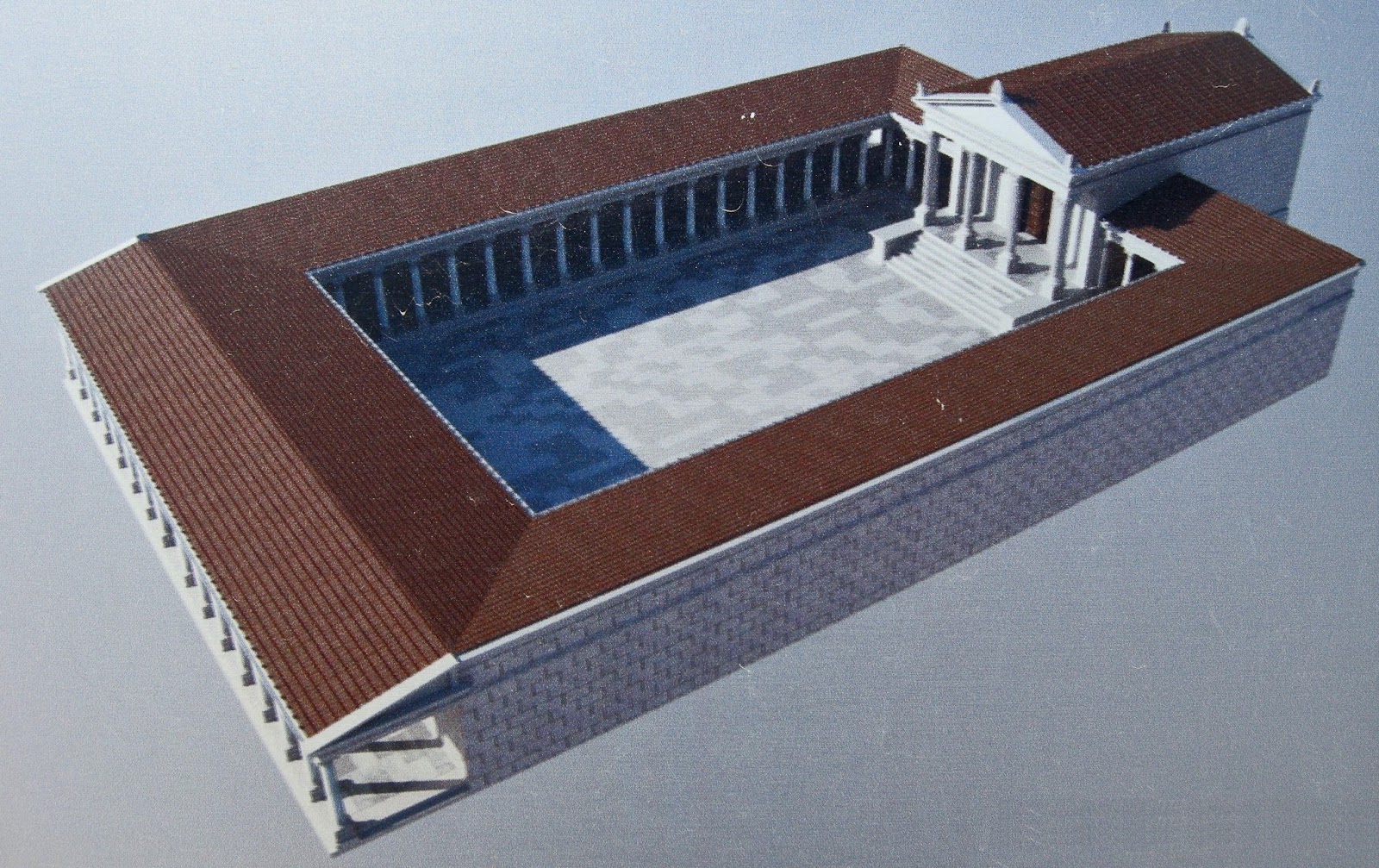
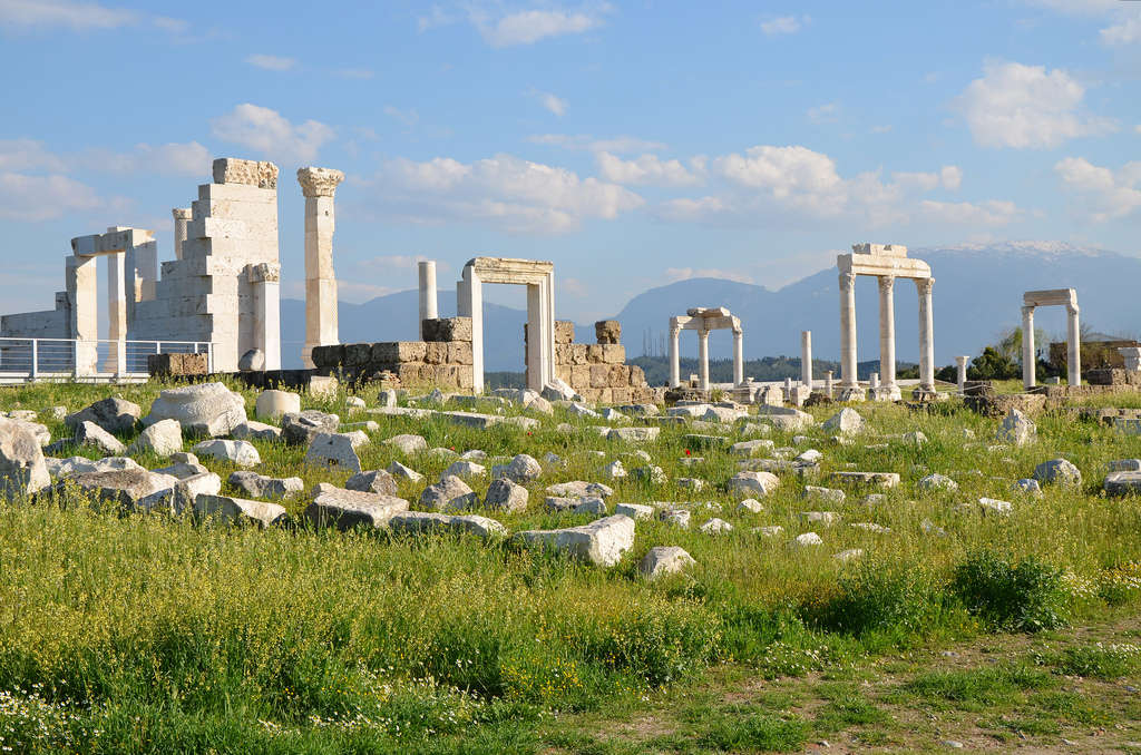
The courtyard of the reconstructed Temple A was built in the 2nd century AD during the Antonine period. Located to the north of Syria Street, the prostyle temple of the Corinthian order was surrounded by porticoes.
Temple A. The naos rises on a high platform built with travertine blocks and faced with marble. A stairway of seven steps, bounded by marble bannisters on both sides, leads up to the naos. The temple was dedicated to Apollo, Artemis and Aphrodite, as well as the imperial cult. It was heavily renovated in the reign of Emperor Diocletian (284-305 AD).
3D reconstruction of Temple A.
The courtyard of Temple A.
The podium of Temple A.

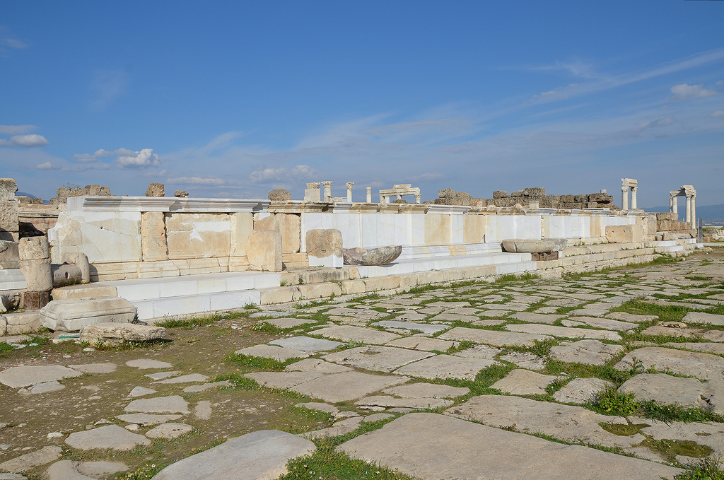
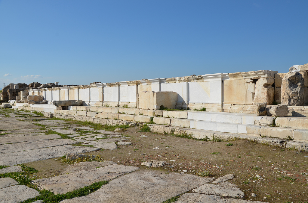
The monumental nymphaeum built during the reign of Septimius Severus.
The monumental nymphaeum dedicated to Septimius Severus.
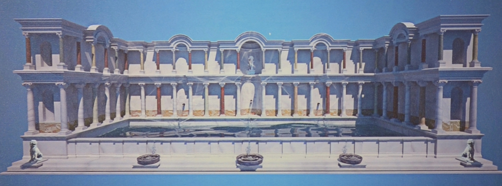
3D reconstruction of the monumental nymphaeum dedicated to Septimius Severus.
The monumental nymphaeum built during the reign of Septimius Severus. It consisted of a square water basin with a colonnade on two sides adjoined by semicircular fountains.
The monumental nymphaeum is dedicated to Septimius Severus. It consisted of a rectangular water basin with a two-storey colonnade on three sides.
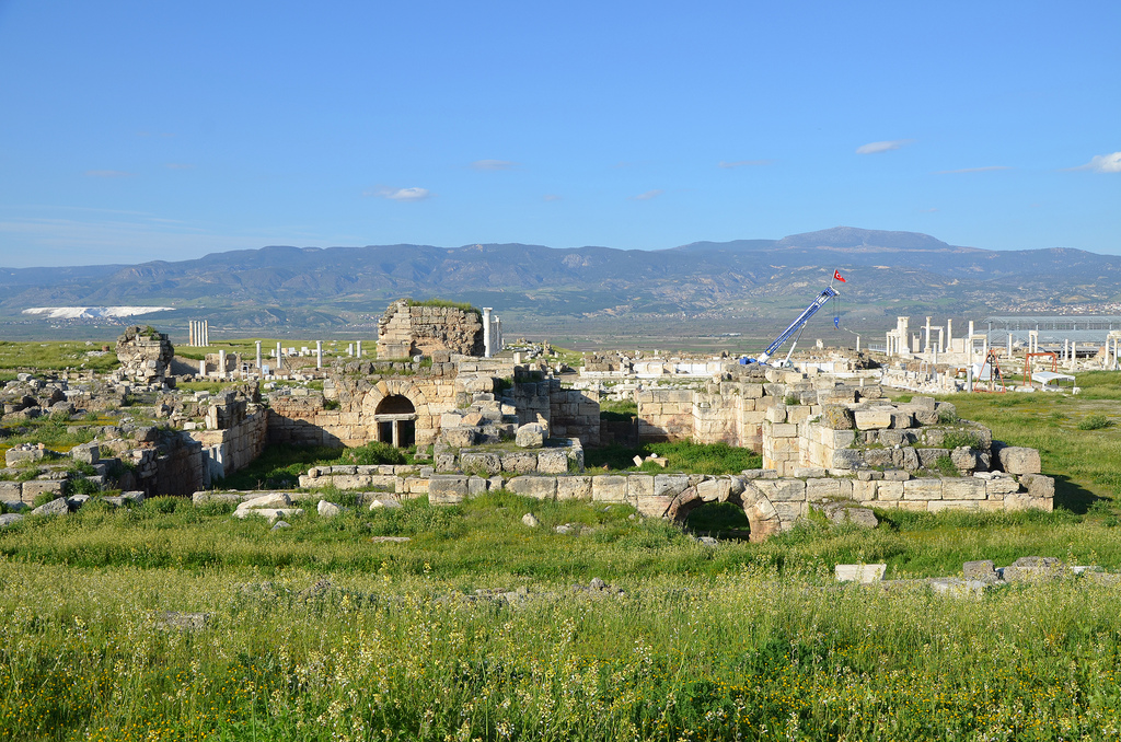
The Clubhouse of the Greens, a building complex of three interconnected rooms and dated to the Early Byzantine period.
The Clubhouse of the Greens, a chariot rider club. The building complex had three interconnected rooms and is dated to the Early Byzantine period.
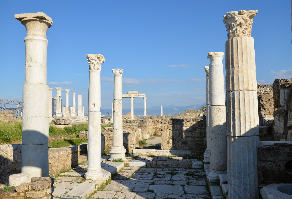
The North (Sacred) Agora.
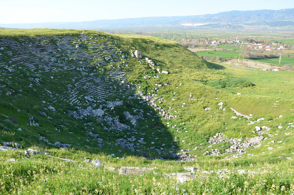
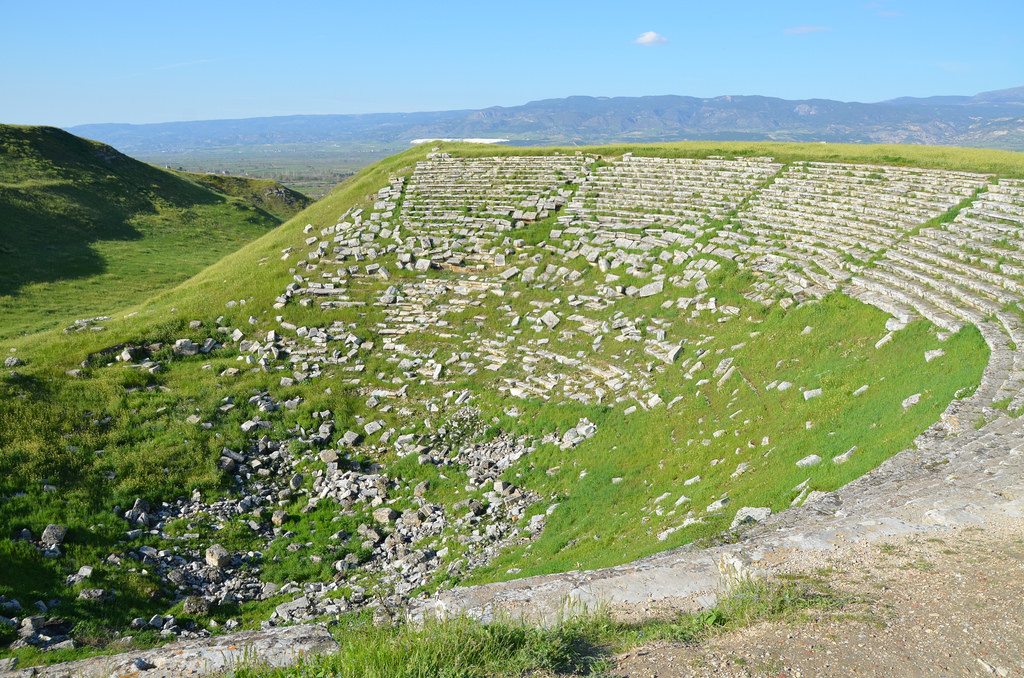
The small theatre dating to the Roman period, it faces North West, only the upper parts of the seating remain, Laodicea on the Lycus, Phrygia, Turkey
The big theatre dating to the Hellenistic period.
The small theatre dating to the Roman period.
The North (Sacred) Agora located between the West and North Theatres and covering an area of 265×128 m.
The Central Bath Complex.
The Central Bath Complex is located to the south of the Central Agora. The complex occupied four insulae and comprised four main halls: apodyterium (changing hall), frigidarium (cold hall), tepidarium (lukewarm hall), and caldarium (hot hall), and a training ground (palaestra).
Stadium Street, the North-South Street extending south from the western end of the Syria Street.
Stadium Street, the North-South Street extending south from the western end of Syria Street. The street was paved with large travertine blocks. The porticoes along both sides of Syria Street were roofed over in order to protect the people from the sun in the summer and rain in the winter.
View of Syria street toward the East Byzantine Gate.
View of Syria Street toward the two towers of the East Byzantine Gate.
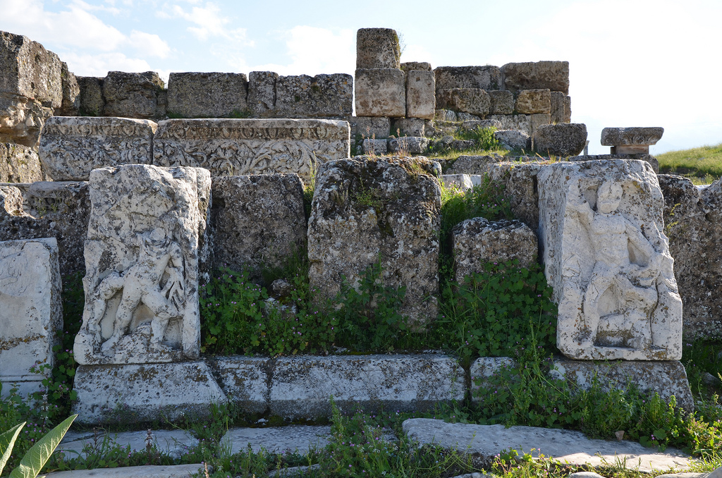
The Nymphaeum of Caracalla, built on the occasion of Emperor Caracalla’s visit to the city in 215 AD and dedicated to him.
The Nymphaeum of Caracalla was built on the occasion of Caracalla’s visit to the city in 215 AD and dedicated to him. The reliefs depict scenes with Heracles and the Abduction of Ganymedes by Zeus.
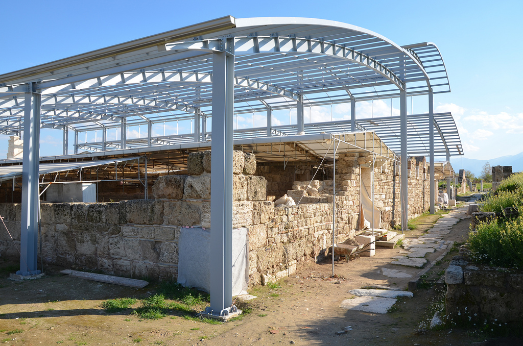
The Church of Laodikeia built during the reign of Constantine the Great. It was uncovered in 2010.
The Church of Laodicea was built during the reign of Constantine the Great and is best known for being one of the Seven churches of Asia addressed by name in the Book of Revelation. It was uncovered in 2010.
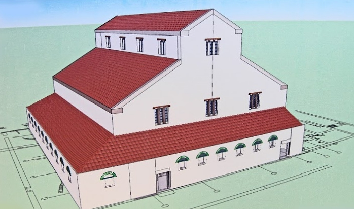
Reconstruction drawing of the Church of Laodikeia.

Links:
Yazilikaya Hittite Rock Sanctuary

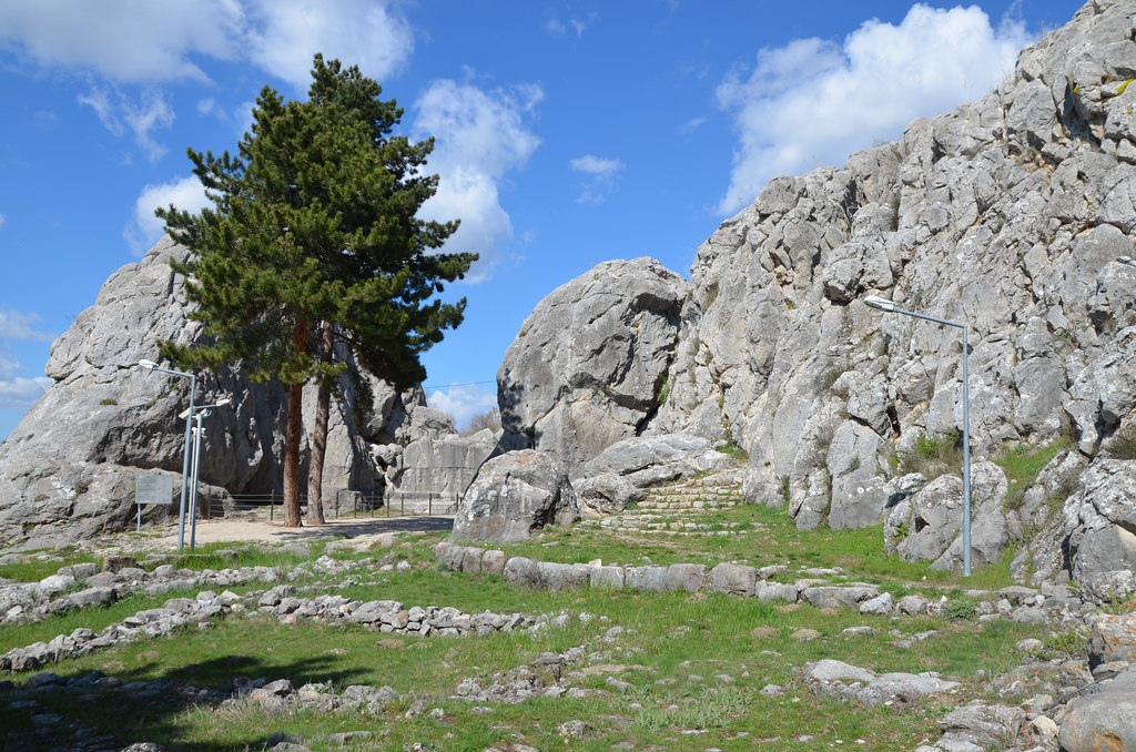
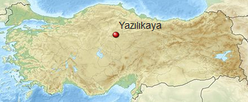
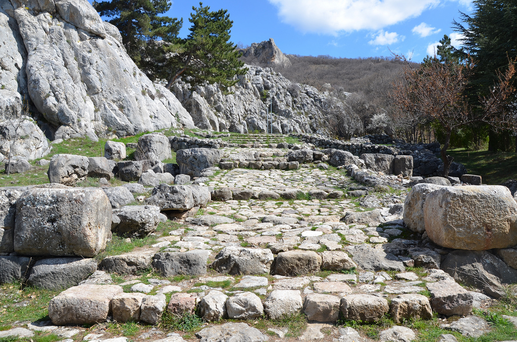
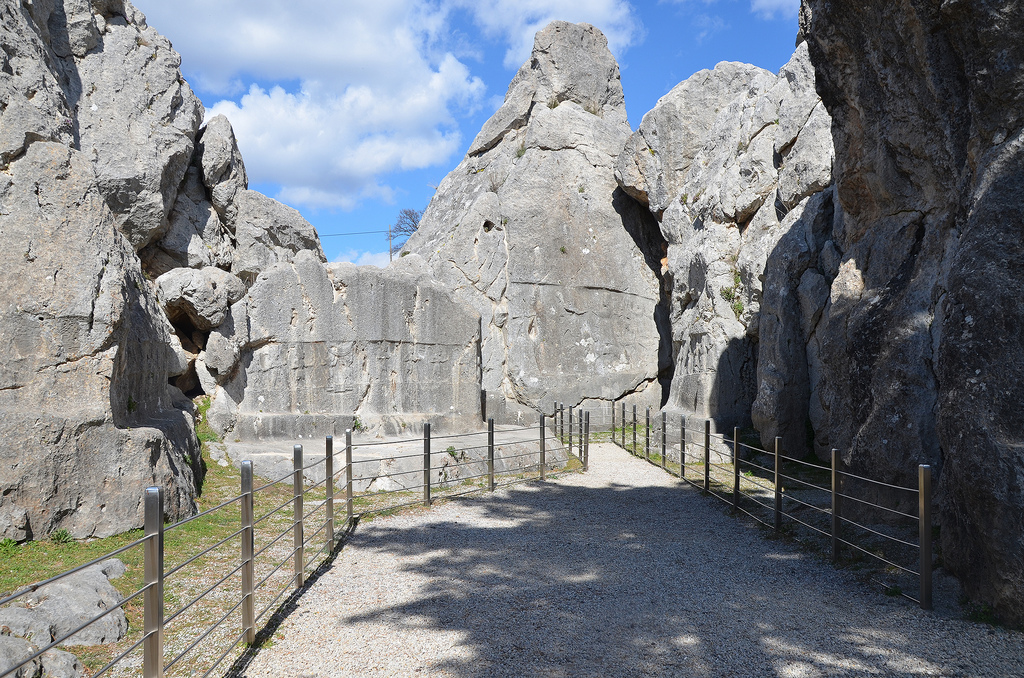
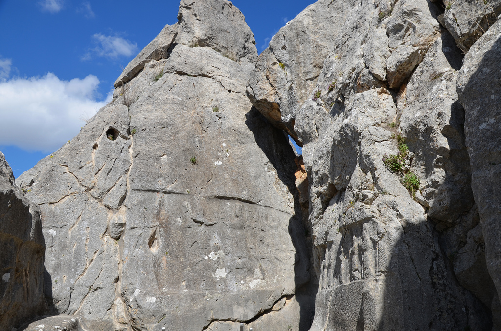
Yazılıkaya (“Inscribed Rock”) is a Hittite rock sanctuary located about 1.5 kilometres northeast of Hattusa, the capital city of the Hittite Empire. It is the largest known Hittite rock monument. The sanctuary consisted of a temple-like building and two open-air chambers cut into the bedrock.

Coordinates: 40° 1′ 30″ N, 34° 37′ 58″ E

Yazilikaya

The Yazılıkaya sanctuary served as a place for the celebration of the arrival of the New Year each spring. These ceremonies took place in the open air in front of the Hittite Pantheon. The sanctuary was made of two rock chambers, later labelled Chamber A and Chamber B, by archaeologists. The walls of each chamber were covered with the richest and most striking samples of Hittite relief art. They featured gods and goddesses and the figures of the Great King Tudhaliya IV (ca. 1237 – 1209 BC). There are a total of 83 images, 66 in Chamber A and 17 in Chamber B.

Human activity on the site probably began in the 16th century BC, although what we see today is probably the result of modifications made in the late 13th century BC, not long before the Hittite Empire began its steep and mysterious decline.

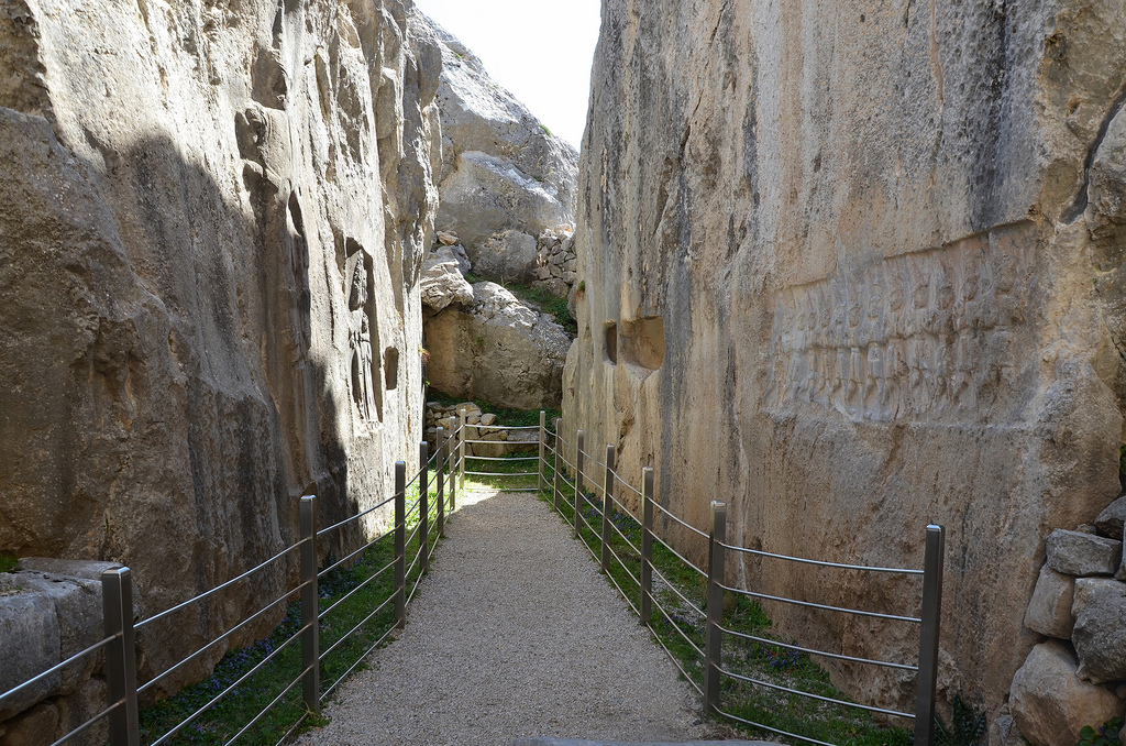
The entrance to Yazılıkaya sanctuary.

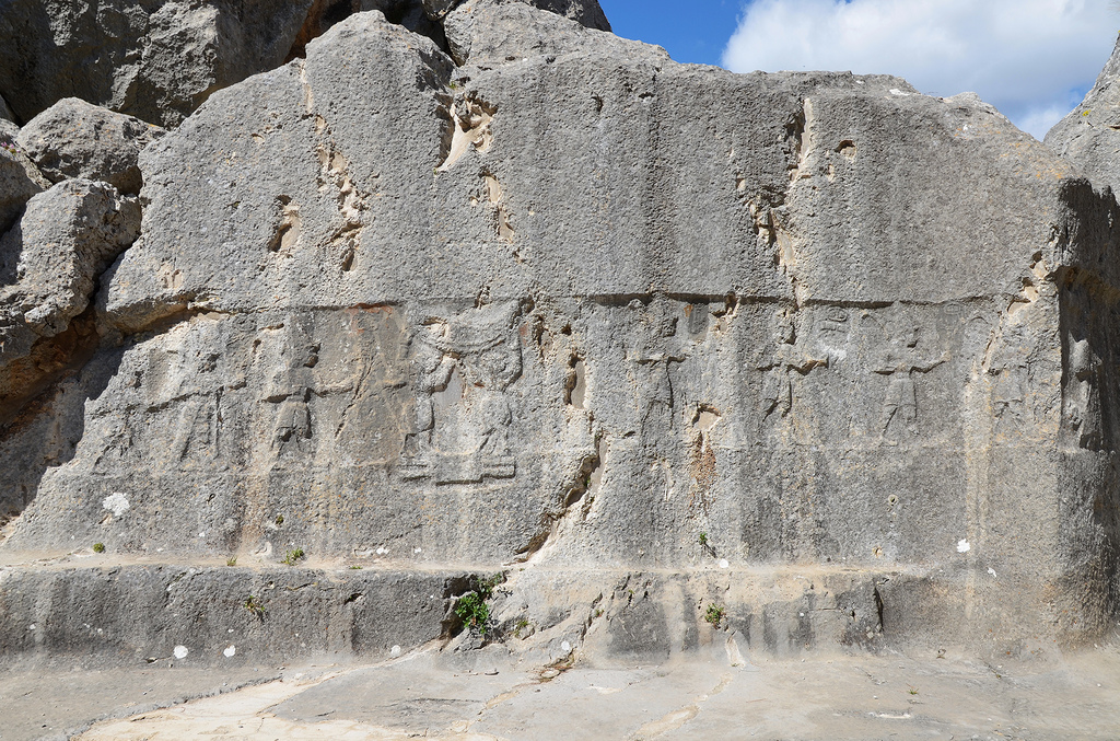
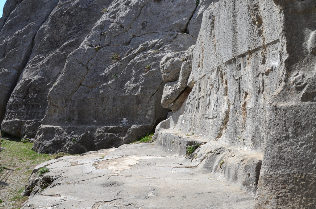
Chamber A, the largest of two chambers, is 30 metres long and about 20 metres wide. Its walls are almost entirely decorated with reliefs running horizontally. The deities are aligned in two rows, perhaps in procession, with male figures on the left wall (with two female attendants) and female figures on the right wall. The name of each deity is given in Luwian hieroglyphs above their raised hands, but due to natural deterioration, some parts of these names have disappeared. These two rows are directed towards the main scene in the middle, where the Storm God Teshup and the Sun Goddess Hepat meet.

Engraving from a relief at Yazilikaya by French archaeologist Charles Texier (1882).
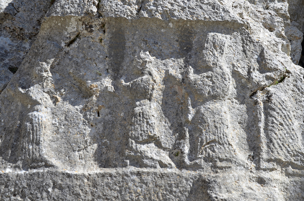
Teshub stands on two deified mountains (depicted as men) alongside his wife Hepatu, standing on the back of a panther. Behind her, their son, daughter and grandchild are carried by a smaller panther and a double-headed eagle.

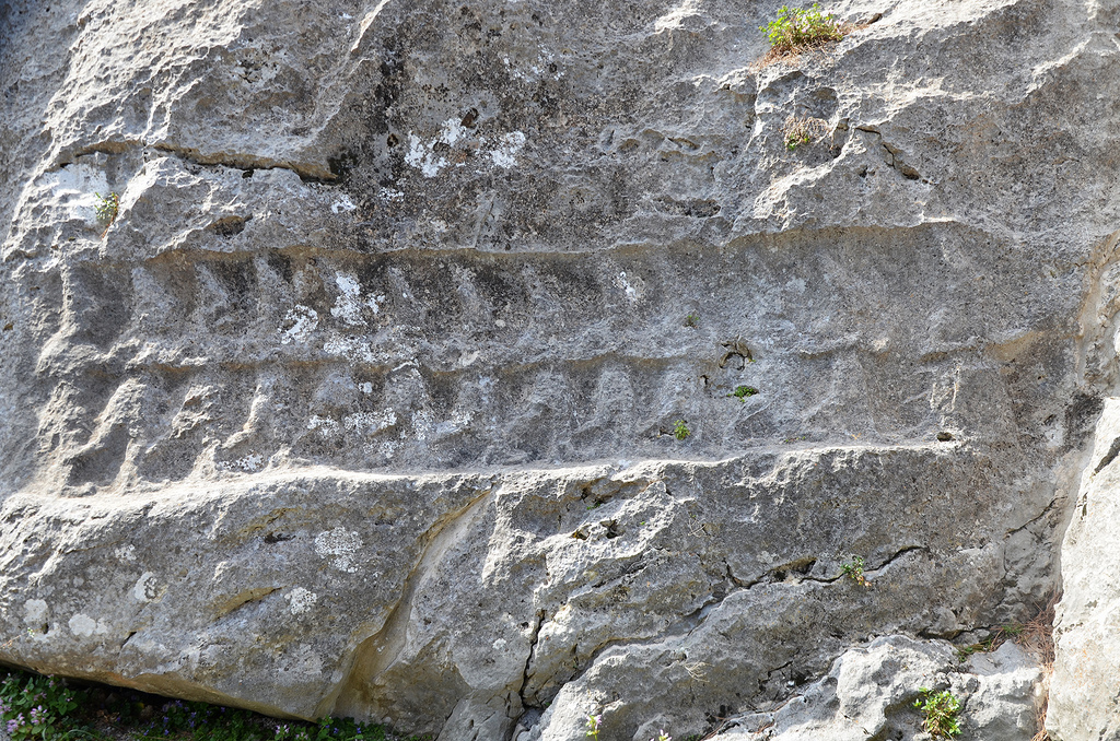
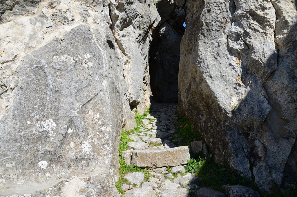
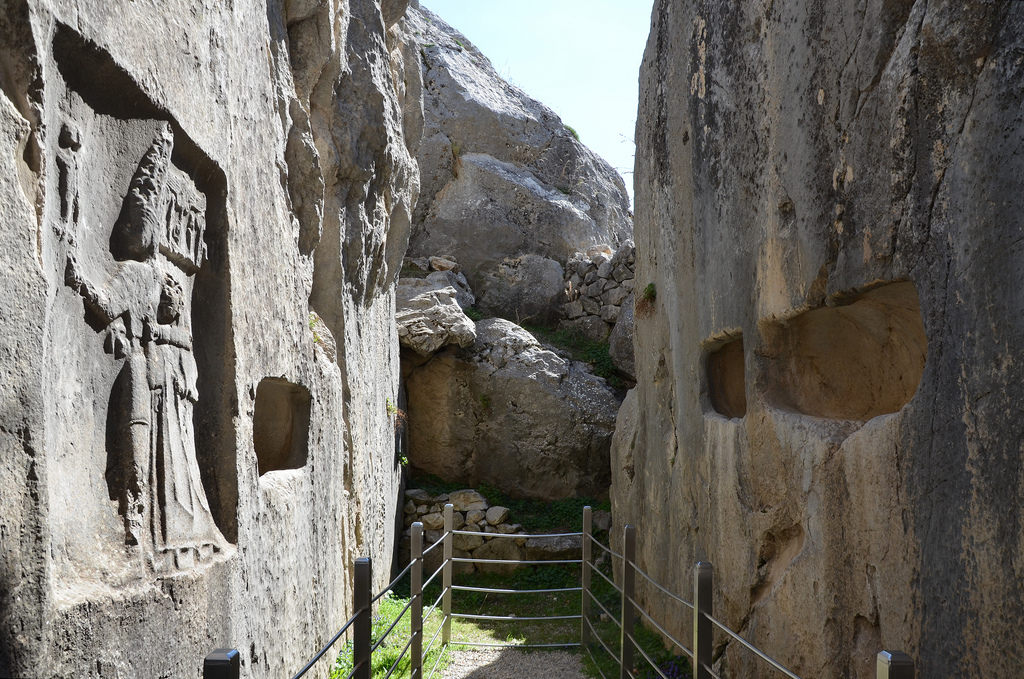
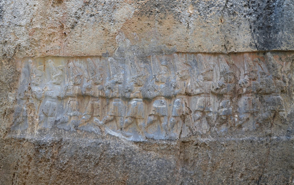
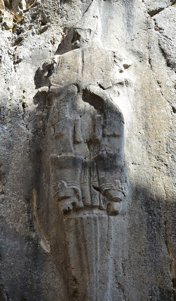
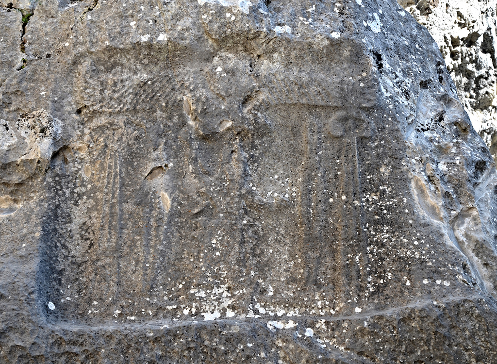
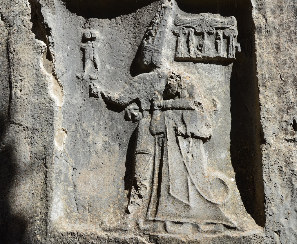
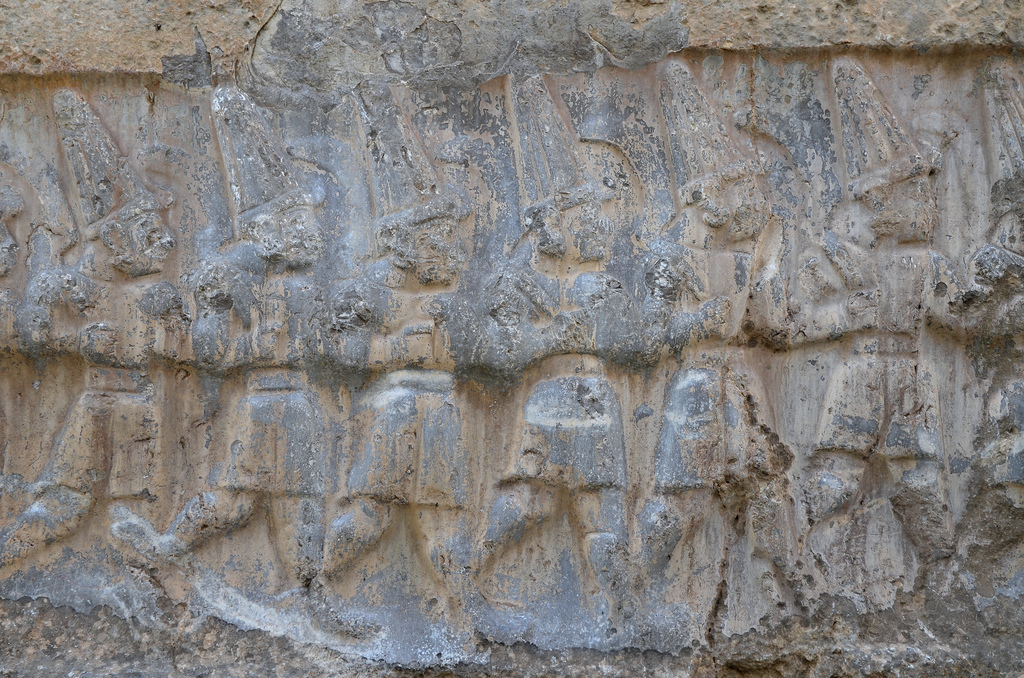
Chamber B is accessible via a narrow passage with winged demons on both sides. Chamber B was believed to have been built as a memorial chapel for Tudhaliya IV, dedicated by his son Suppiluliuma II at the end of the 13th century BC. Buried until the mid-19th century, the reliefs on the walls are much better preserved than those in Chamber A. A line of gods of the Underworld is pictured on the wall immediately to the right of the entrance. On the opposite wall is a representation of Nergal, the God of the Sword and the Underworld. To the left of this relief, a cartouche with the name of Tudhaliya IV is visible, and this same king is shown embracing the Thunder God Teshub on the right side.

PORTFOLIO

Chamber A

Overview of Chamber A.

Chamber A, rock relief depicting a procession of male deities.

Chamber A, two bull men stand between male gods on the hieroglyphic symbol of the earth and supporting the sky.
In Chamber A, two bullmen stand between male gods on the hieroglyphic symbol of the earth and supporting the sky.

Left wall of Chamber A depicting male gods.
The left wall of Chamber A depicts male gods.

Chamber A, main relief scene with
Chamber A, main scene in the middle of the chamber where Teshup and Hepat meet and female goddesses in procession on the right wall.

Chamber A, goddesses in procession.

Chamber A, main scene depicting (left to right) the God Kumarbi (chief god of the Hurrians), the weather and storm god Teshuba, the earth goddess Hepat, Sharumma (son of Teshuba & Hepat) and Alanzu (daughter of Teshup Hepat).

Chamber A, relief depicting the sanctuary's founder, King Tudhaliya IV, standing on two mountains.
Chamber A, relief depicting the sanctuary’s founder, King Tudhaliya IV, standing on two mountains.

Chamber B

Entrance to Chamber B with a relief of a winged, lion-headed demon.
Entrance to Chamber B with the relief of a winged, lion-headed demon.

Chamber B.
Chamber B. The narrow gallery is thought to be a memorial chapel for Tudhaliya IV, dedicated by his son Suppiluliuma II

Chamber B, the niches were probably used for offerings.

West wall of Chamber B depicting the twelve Gods of the Underworld.
The west wall of Chamber B depicts the twelve Gods of the Underworld.

East wall of Chamber B with a depiction of Negal, the Sword God and God of the Underworld.
The east wall of Chamber B has a depiction of Negal, the Sword God, and the God of the Underworld.

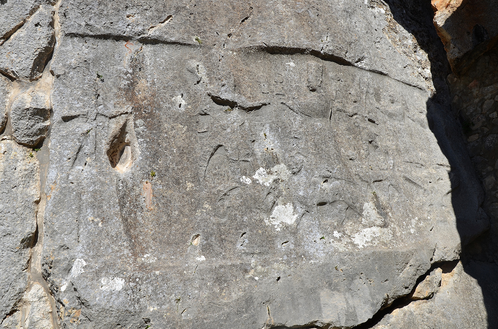
Chamber B, cartridge showing the name and title of King Tudhaliya IV.
Chamber B, cartouche showing the name and title of King Tudhaliya IV.

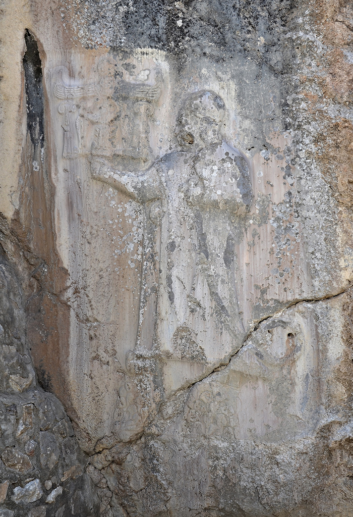
The East wall of Chamber B depicts in a niche the God Sharruma (son of the Thunder God Teshub) embracing King Tudhaliya IV. The god has his left arm over the king’s shoulders while holding the king’s right wrist. The god wears a short tunic and has pointed shoes. The king wears a long coat and carries a sword and a lituus.

West wall of Chamber B depicting the twelve Gods of the Underworld.
The west wall of Chamber B depicts the twelve Gods of the Underworld.

Links:
Sources: