Lepreon

Ancient Lepreon was a Greek city-state located on the lower slopes of mount Minthi, north of the river Neda in southern Triphylia in Elis. Herodotus mentions Lepreon as being part of the Hexapolis founded by the Minyans, who drove out the original Cauconians. Lepreon was the only city of Triphylia to fight against the Persians at Plataea. Their name was inscribed on the base of the statue of the Olympian Zeus. Lepreus, son of Pyrgeus or of Caucon, who was killed by Heracles, is considered the city’s mythical founder.

Coordinates: 37°26’22.0″N 21°43’27.9″E

Lepreon flourished in the Classical and Hellenistic periods when it became the capital of Triphylia. It controlled the roads connecting Elis with Messenia and Arcadia. From the Roman conquest onwards, in 146 BC, the city began to decline. When Pausanias visited Lepreon in AD 170, the town was in demise. Lepreon lived on until the Byzantine period and was abandoned in 800-1000 AD after a series of pirate and barbarian raids.

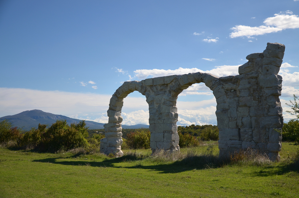
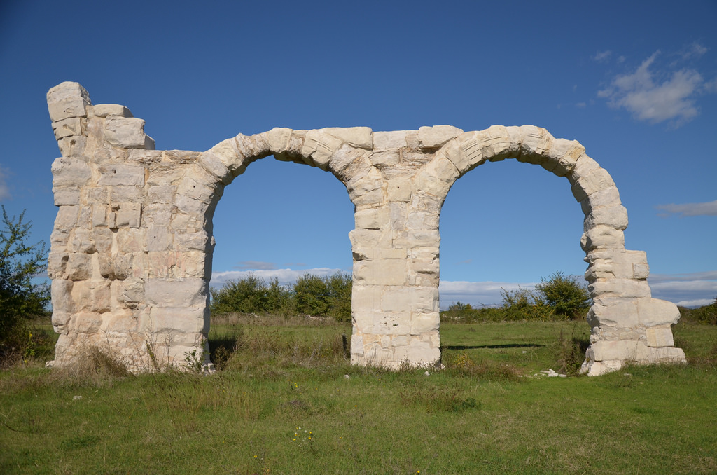
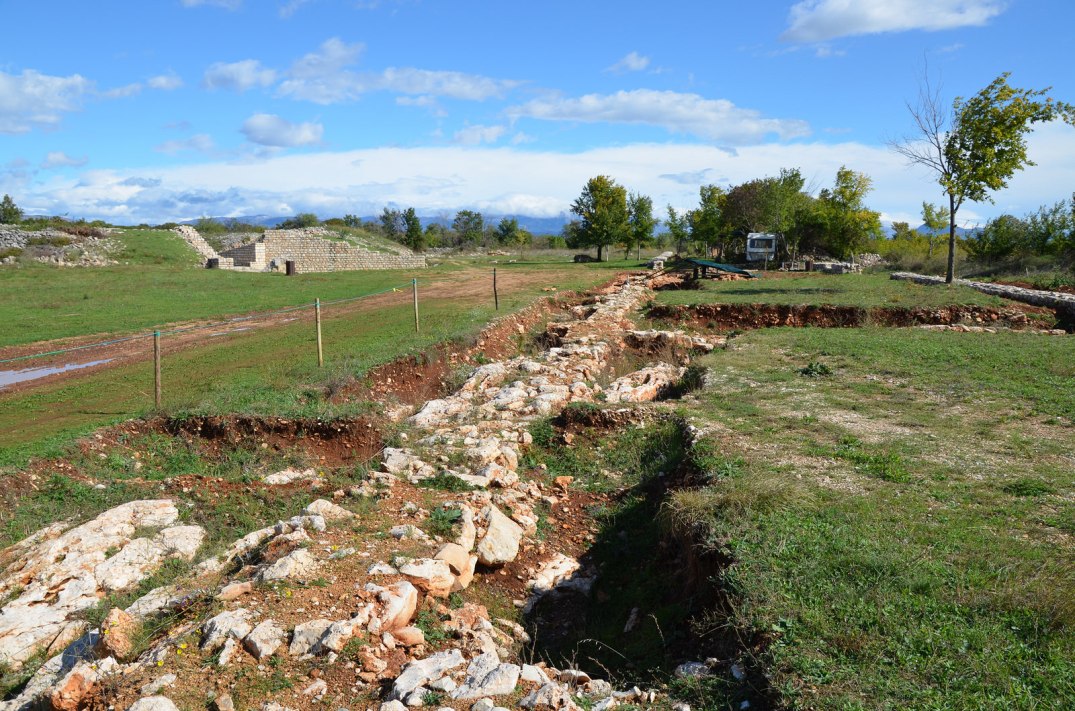
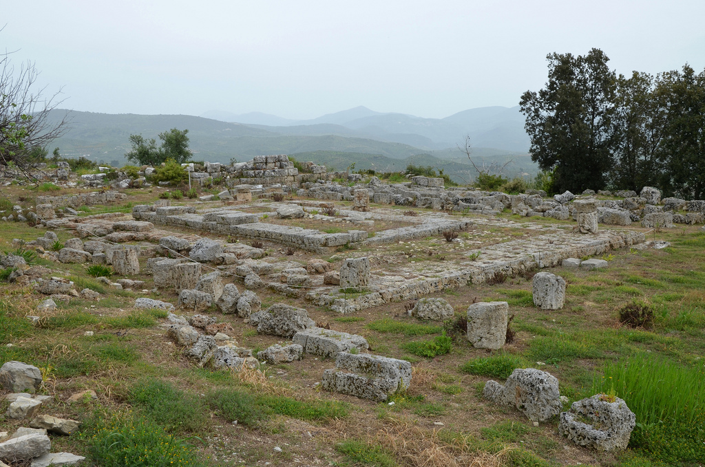
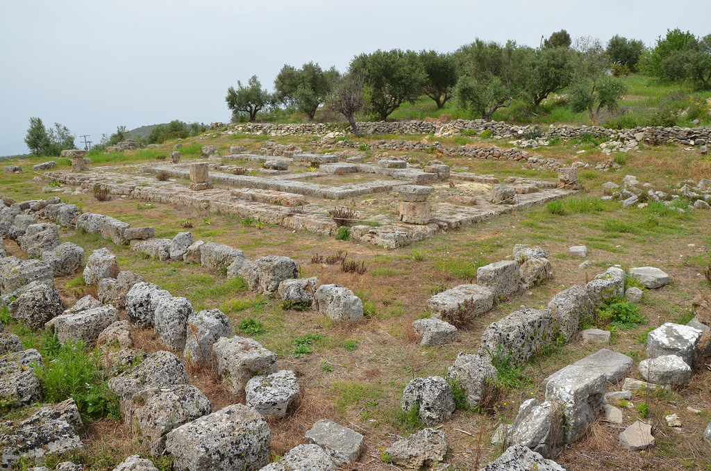
There are remains of the fortified walls surrounding the acropolis, with several square towers built of poros and limestone blocks. The foundation of a Doric temple dedicated to Demeter can still be seen. The temple, measuring 20 by 10 metres, originally had 11 by 6 columns (peripteral) and can be dated to the first half of the 4th century BC.

PORTFOLIO

Lepreon in Elis, Greece.
The fortification gate of the acropolis of Lepreon.
One of the square towers of the fortification wall surrounding the acropolis of Lepreon.
Landscape surrounding the city of Lepreon.
The peripteral Temple of Demeter, dated to the 1st half of the 4th century BC.
The peripteral Temple of Demeter.

See more images on Flickr

Links:

Burnum

Burnum is a Roman Legionary camp located nearby the natural beauties of the Krka National park. The camp was erected at the turn of the new era at a strategically important position from which the Romans could control the crossing over the Krka river, called Titius in Roman times.

Coordinates: 44°01’08.3″N 16°01’05.3″E

Burnum

Burnum was once the camp of the Eleventh Legion of the Roman army (Claudia Pia Fidelis) from 42 AD, and was succeeded in 69 AD by the Fourth Legion (Flavia Felix). Auxiliary units (cohorts) were also stationed here. Epigraphic monuments indicate that during Hadrian’s era (CIL III 2828), in 118 AD, Burnum became a municipium (municipium Burnistarum) and the population grew around the camp.

Visitors today can see the arches of the headquarters (praetorium) of the camp and the only military amphitheatre in Croatia. Weapons, tools and objects of everyday use belonging to soldiers and civilian inhabitants are on display in the new Burnum museum (open to the public since 2010).

PORtFOLIO

Arches of the Burnum principium (or Forum)
The arches of the headquarters (praetorium) of the legionary camp.
The military Amphitheatre, Burnum legionary camp, Dalmatia
The military amphitheatre of Burnum legionary camp. It acquired its definite form in 76-77 AD when the inscription of Vespasian was placed on the facade of the southern entrance, marking the completion of the construction.
The military amphitheatre of Burnum legionary camp.
The remains of the training camp of Burnum.
Contruction drawing of the legionary camp of Burnum.
The arches of the headquarters (praetorium) of the legionary camp of Burnum.

Links: