Regina Turdulorum is a former Roman city located in southern Extremadura, in the province of Badajoz, just outside Casas de Reina. Pliny (Plin. Nat. 3.14) mentions this town among the ‘oppida non ignobilia’ located in Baeturia Turdulorum, the region extending from the Guadiana and Guadalquivir rivers, which used to be occupied by the Turduli. The city was founded in the 1st century AD along the Roman road that ran from Augusta Emerita (now Mérida) to Corduba (now Córdoba).
Among the reasons for the city’s founding was the mineral wreath of the area and the control of the territory of the Turduli people. The region also had good land for cultivation and was rich in water.
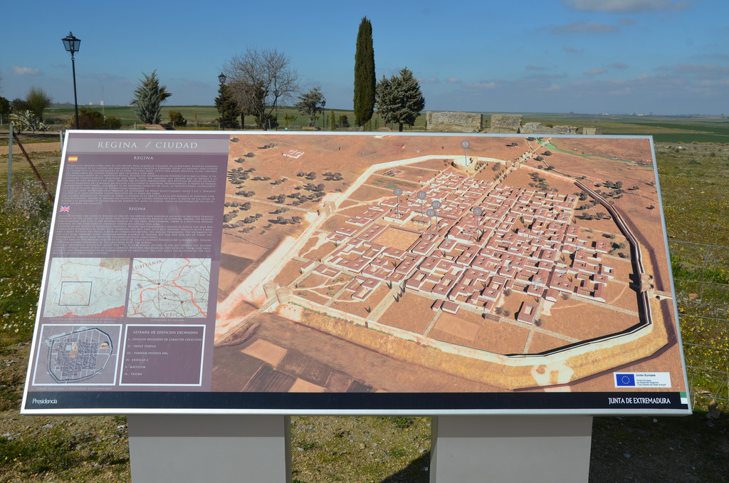
In the beginning, Regina was an oppidum stipendiarium (tributary), which paid tribute to Rome, but under the Flavians, the city was promoted to the status of municipium and was ruled by Roman citizens. It reached the height of its splendour during this time, with the construction of various public buildings. Despite being founded in times of prosperity, archaeological research studies show that Regina was a significant walled city flanked by defensive towers. Within the walls, streets crossing at right angles and flanked by porticoes delimited the blocks or insulae of the monumental centre of the town, with the cardo and the decumanus crossing the forum.
The city’s buildings included houses, several religious temples and civic buildings, an extensive sewage system and at least two necropoleis. The first archaeological exactions took place in the 1970s when the remains of the small theatre were unearthed. The theatre, built in the age of the Flavian emperors, is relatively small (diameter 55 m, wall of the scaena 38 m long) and could accommodate an audience of about 1000 people. Today it is one of the four venues in Extremadura hosting plays during Mérida’s Classic Theatre Festival, which takes place in summer. In 2008, a marble Head of Trajan was discovered inside a well located in the forum (see image here).
Coordinates: 38°12’11.1″N 5°57’13.0″W
PORTFOLIO
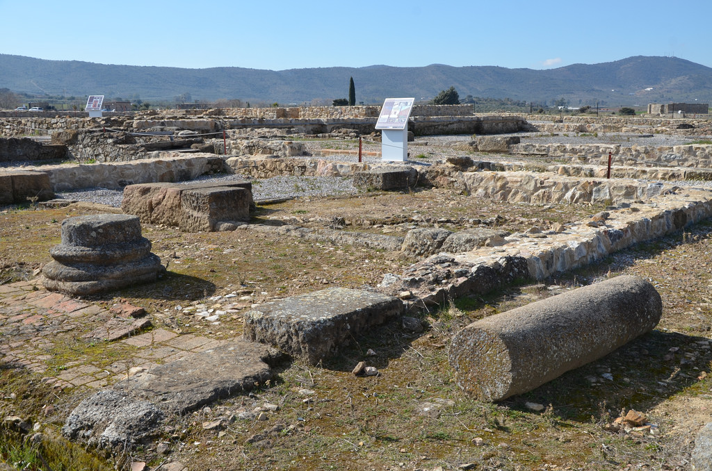
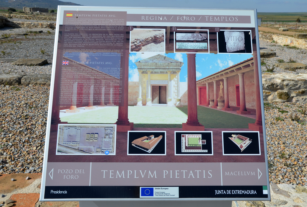
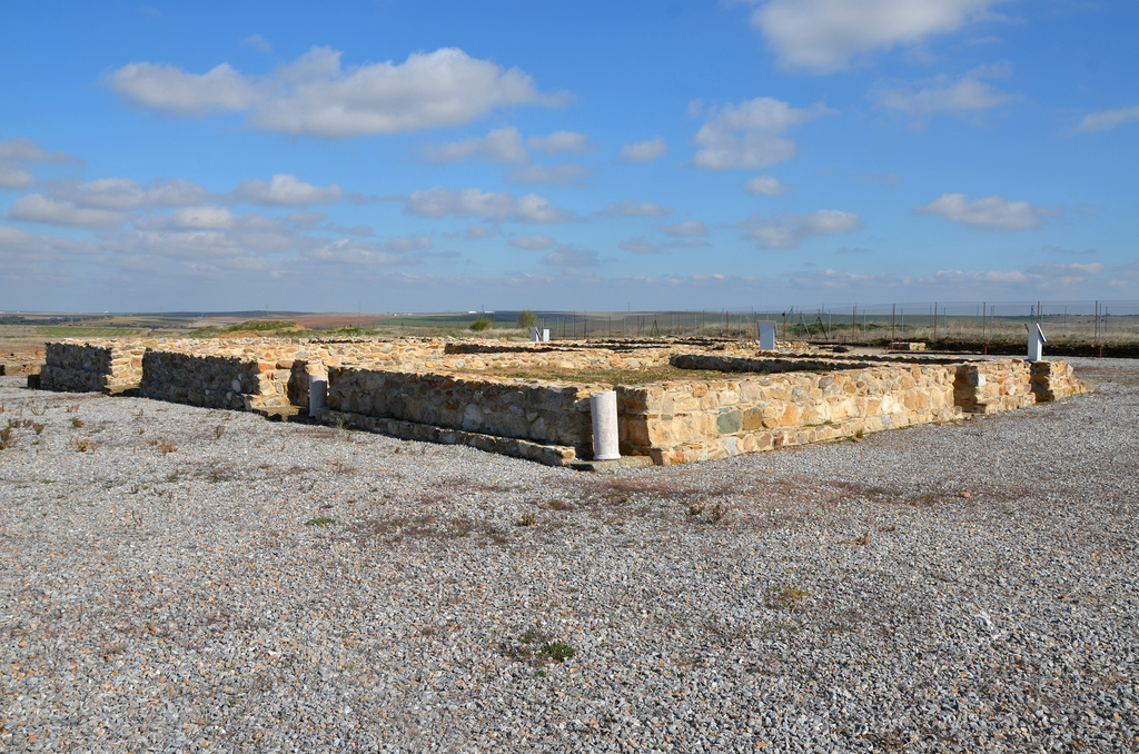
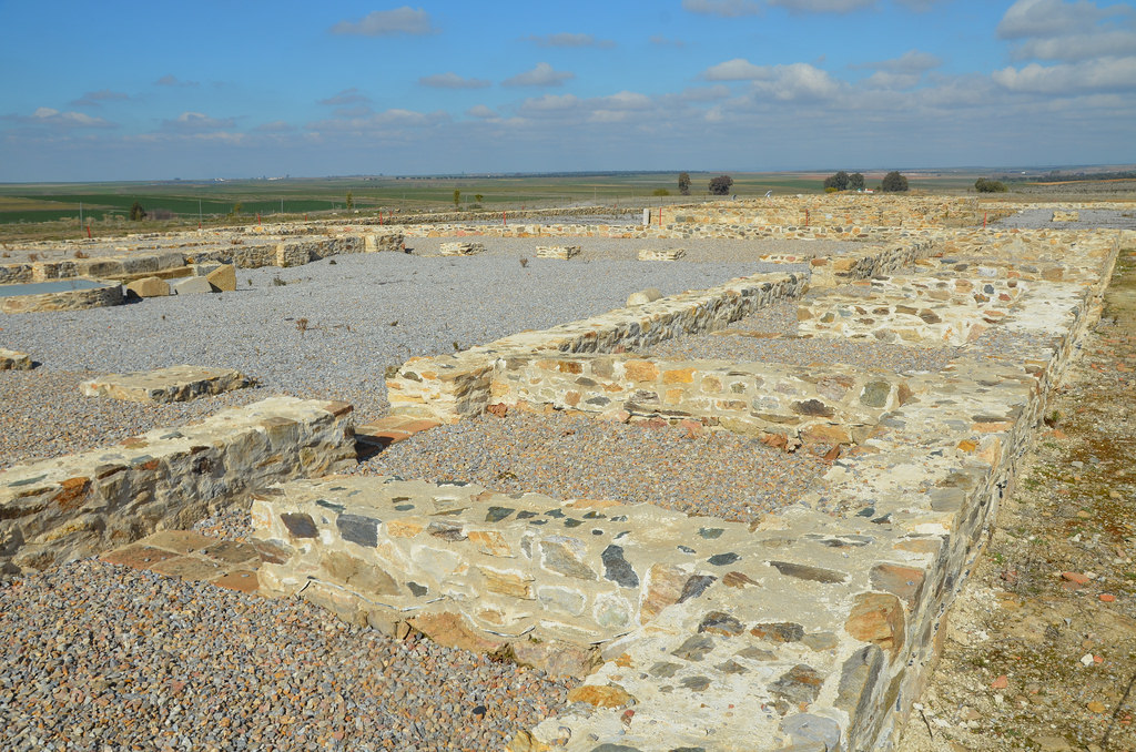
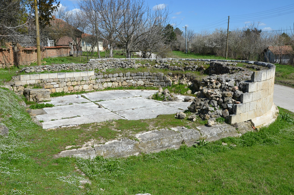
The theatre was built in the second half of the 1st century AD into the slope of a hill in the northwest sector of the town.The scaenae frons was flanked on either side by the proscaenium and the basilica. On the left is the aditus, an arched entrance corridor leading to the Orchestra.The cavea originally had ten rows of seats, of which the first three, part of the fourth and some of the fifth tier in the central area are preserved. The Orchestra had an almost semicircular diameter (16,40 m).The theatre.The ruins of the Macellum, the city’s great commercial centre, covered over 3,000 square meters. To date, only 50% of the building has been excavated.The ruins of the so-called Building C located in the forum area. It had a small courtyard and could be accessed from the decumanus maximus via a portico. This building was built in the first half of the 1st century AD.The Temple dedicated to Pietas Augusta was built at the end of the 1st century AD and is located next to the decumanus maximus. An inscription mentioning this temple’s repairs and the emperor Titus gives suggests that this building was dedicated to the imperial cult.
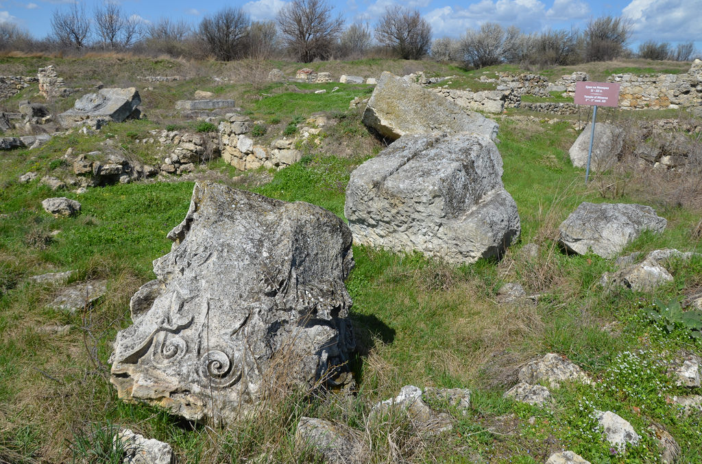
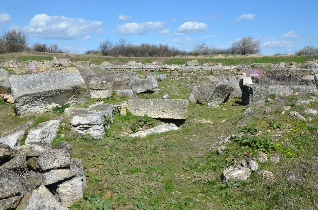
The main part of the Templum Pietatis was the sacred room surrounded by a colonnaded portico.The Decumanus Maximus.The foundations of the Capitolium, the three temples dedicated to the Capitoline triad (Jupiter, Juno and Minerva).
The three temples were erected on a podium with a staircase leading to the pronaos, originally surrounded by six marble columns. The statue of the deity would be placed inside the cella.
The foundations of the capitolium.The foundations of the religious building occupied a prominent place in the sacred area of the city.
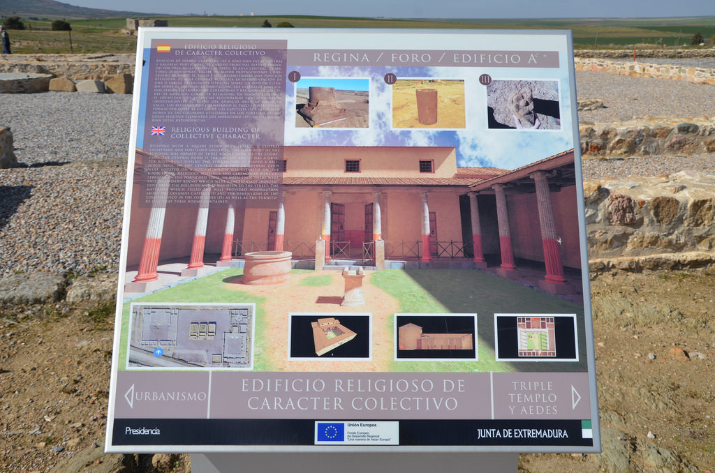
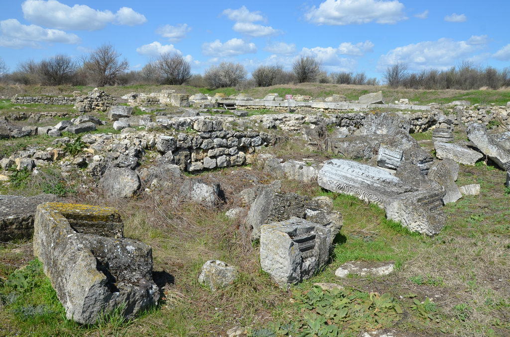
The so-called Religious Building had a square floor plan (45×45), a central courtyard and porticoed galleries. The main area of the building was occupied by three rooms open to a courtyard. The central room was the largest where religious meetings and ceremonies were taking place.
The imposing ruins of the Roman town Ulpia Oescus lie near the village of Gigen in northern Bulgaria, at the confluence of the Iskar River and the Danube. The city was established in AD 106 in the province of Moesia Inferior. Emperor Trajan granted it colony status in honour of his victory over the Dacians. Ulpia Oescus was built on the former camp of the Fifth Macedonian Legion, which was stationed there with a canabae (civilian settlement) in late-Augustan times.
In the 1st century AD, Oescus was an important military post that protected the Danube Limes road to Trimontium (modern-day Plovdiv). At this time, the Romans began building a strong defensive system of fortresses along the northern border to protect against attacks by barbarian tribes. Oescus thus became a main military point and the camp of two Roman legions, the Legio IV Scythica and the Legio V Macedonica. It maintained its permanent military encampment at this site until AD 101.
L(egio) V M(acedonica) Oes(ci)
The early military camp of the 1st century is now localised precisely under the ruins of the colony built over the subsequent century. The epigraphic monuments of veterans of the necropolis of Oescus also provide information about the early military camp, the canabae and the presumed vicus. In AD 96, the future emperor Hadrian served as tribunus militum in Oescus with the fifth Macedonian legion.
The earliest inscription from Oescus, set up in memory of Resius Chronius, a freed slave of centurion Resius Albanus from Legio V Macedonica. Dated 9 AD. Pleven Regional Historical Museum.
After his victory over the Dacian tribes, Trajan turned the military camp into a town centre and directly elevated it to a colonia, the highest rank of provincial government. The name of the colony – Colonia Ulpia Oescensium – is mentioned for the first time in an inscription from the time of Hadrian.
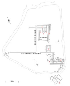
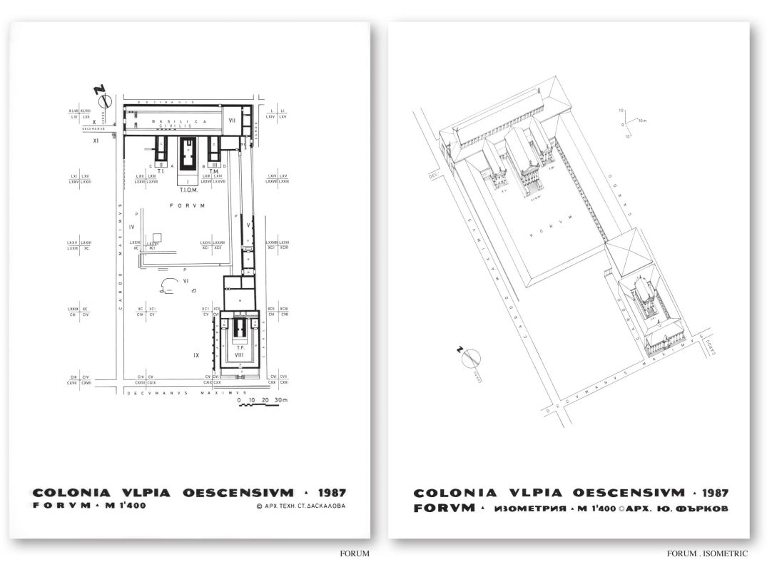
Plan of Ulpia Oescus: 1- 3. Temples of the Capitoline Triad (Jupiter, Juno and Minerva), 4. Civic basilica, 5. Temple of Fortuna, 6. Building for walking during the winter, 7. Building with the mosaic “Acheioi”, 8. Late Roman Bath, 9.
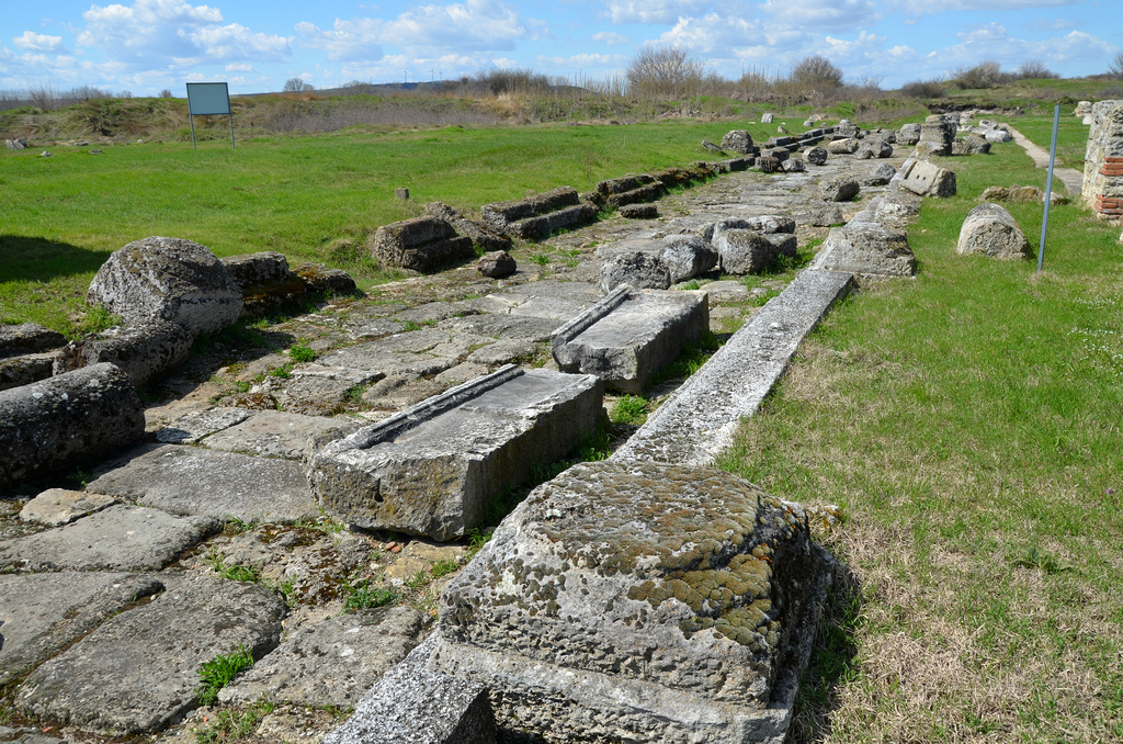
Ulpia Oescus flourished in the 2nd-3rd century AD as a major city in the Roman province of Moesia Inferior during the Antonine (r. AD 117-192) and Severan (r. AD 193-235) dynasties. The town followed typical Roman urban planning, with a rectangular shape and east-west and north-south streets, covering about 28 hectares. The streets were paved with stone slabs, beneath which ran a water supply system and sewage channels. About one-third of the city was occupied by public buildings and the rest by workshops and houses.
Extra muros building. The town flourished again at the beginning of the 4th century AD during the reign of Constantine the Great, when the capital of the Roman Empire was moved to Constantinople. A stone bridge was erected over the Danube (officially inaugurated on 5 July AD 328 in the emperor’s presence) between Sucidava (present-day Romania) and Oescus. The town was partly destroyed in the 5th century AD by the Huns and rebuilt under Justinian in an attempt to re-establish Oescus as the stronghold of the Danube defence system. However, the Avars stopped these efforts in late AD 585 and early 586.
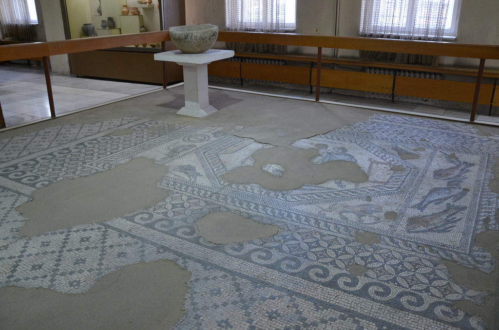
Archaeological excavations have revealed the city’s Forum; temples of the Roman deities of the Capitoline Triad (Jupiter, Juno, and Minerva), built in AD 125 during the reign of Hadrian; a large basilica (built in AD 135); thermae; and other public buildings. In 1948, the mosaic known as “The Achaeans” was discovered. It is currently on display, along with many other artefacts from the site, at the Pleven Regional Historical Museum. Other artefacts from the site, such as a statue of the goddess Fortuna, are on view at the National Archaeological Museum in Sofia. Most of the inscriptions and monuments date to the 2nd century AD and provide evidence of people from Asia Minor and Gaul, the city’s establishment, and numerous religious cults, including Mithras.
PORTFOLIO
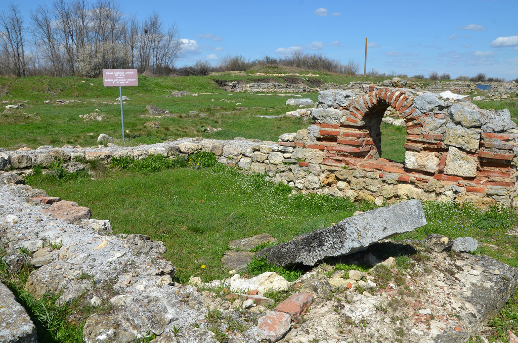
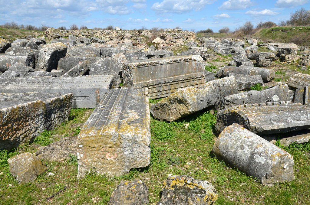
View of the public baths built during the last quarter of the 3rd century AD when the V Macedonica returned to Oescus following Aurelianus’ retreat from Dacia. The baths occupied 700 sq.m, were built in opus mixtum (mixed masonry), and had 8 separate rooms.The remains of stores with 7 rectangular rooms arranged side by side with entrances from the south. The stores were built at the end of the 2nd century AD. In one of them, fine glazed pottery was sold from big ceramic centres in Lower Moesia.The street between the public baths and the stores.The street between the public baths and the stores.The Building with the “Achaeans” Mosaic. This was the praetorium of the Roman colony. One room contained a coloured floor mosaic depicting a scene from the play The Achaeans by Menander.The mosaic “The Achaeans of Menander” depicting a scene of Menander’s The Achaeans with the inscription MENANDROU ACHAIOI. It is dated to the time of Septimius Severus. The play was unknown before the mosaic’s discovery in 1948. Pleven Regional Historical Museum.Overview of the Decumanus Maximus and the Temple of Fortuna.The Decumanus Maximus.The ruins of the Temple of Fortuna. The temple area, which adjoined the southeast corner of the forum complex, consisted of a portico facing south, a peristyle courtyard and the temple itself, occupying an area of 50 x 29 m.The ruined Temple of Fortuna is one of the emblematic buildings of Ulpia Oescus. It was erected in AD 190-192 AD, with funding provided by Commodus. The temple area was destroyed by fire during the Goth invasion in 376/78.
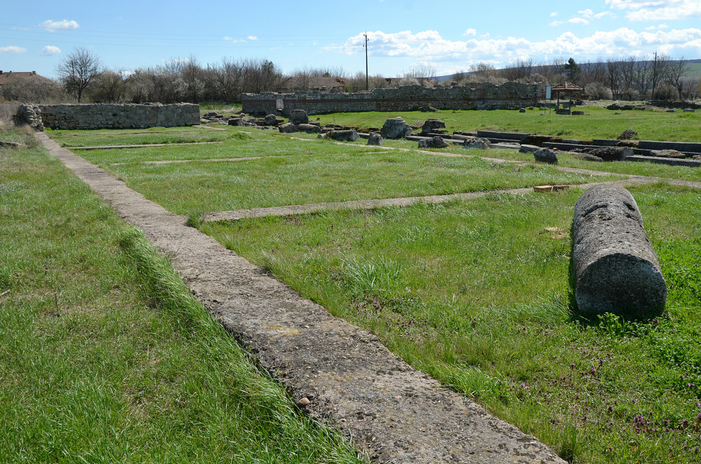
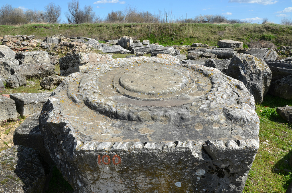
Architrave from the Temple of Fortuna with garlands, Medusa heads and bucrania.Scattered architectural elements from the Temple of Fortuna.Scattered architectural elements from the Temple of Fortuna.View of the Forum was made out of limestone in the Corinthian style. It occupied an area of 96 x 58 m and was surrounded by porticoes to the east, south and west. At the north end of the Forum stood the three temples of the Capitoline Triad and the Basilica Civilis.
Pediment with a Latin inscription from the eastern portico of the Forum.The northern end of the Forum complex was flanked by a three-aisled civic basilica of impressive dimensions (100 х 24 m). The basilica was the last building erected in the Forum during Hadrian’s reign.
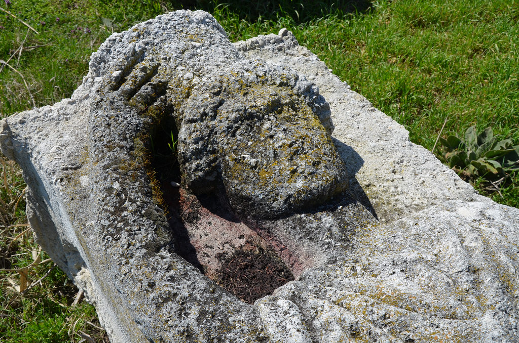
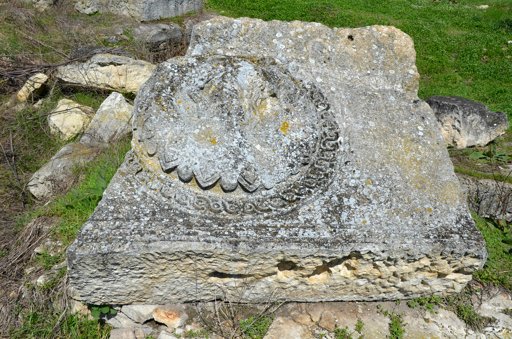
Scattered architectural elements from the civic basilica.A caryatid, one of the sculpted female figures that served as architectural elements and supported the basilica’s pillars. The use of relief caryatids in public buildings has been without parallel in the Roman cities of Thrace and Moesia.Fragment of fresco from the civic basilica. Pleven Regional Historical Museum.One of the medallions with portrait busts decorated the basilica and was placed beneath the caryatids.Scattered architectural elements from the civic basilica.Scattered architectural elements from the civic basilica.
Scattered architectural elements from the Temple of Minerva.Scattered architectural elements from the Temple of Jupiter.Scattered architectural elements from the Temple of Juno.The Extra Muros building dates to the mid-3rd century AD and covers an area of 52 x 64 m.U-shaped tower dating to the 4th to 5th century AD.