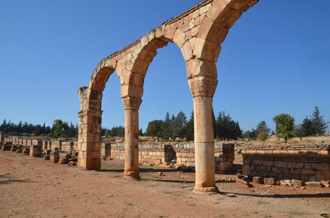
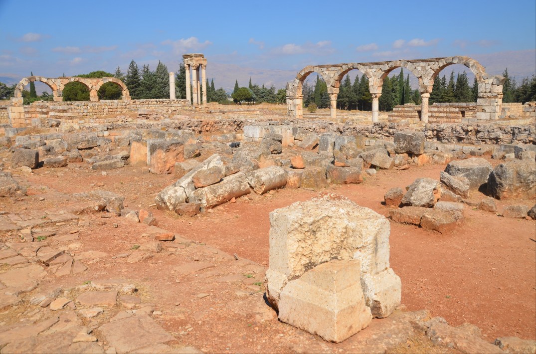
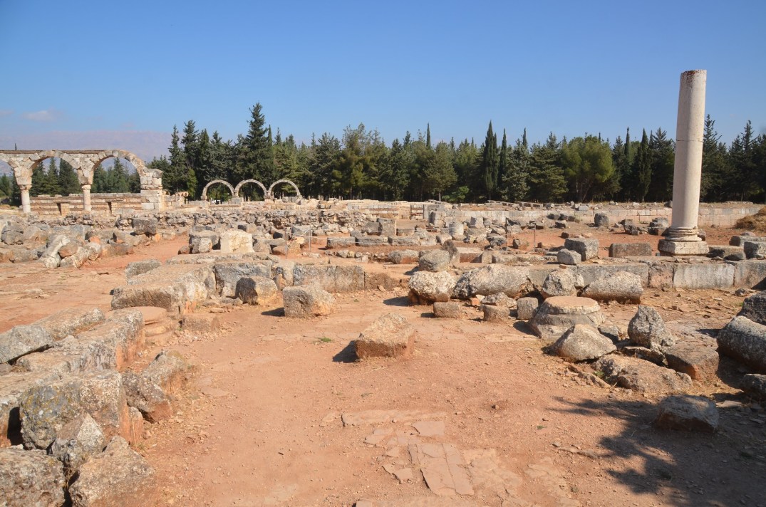
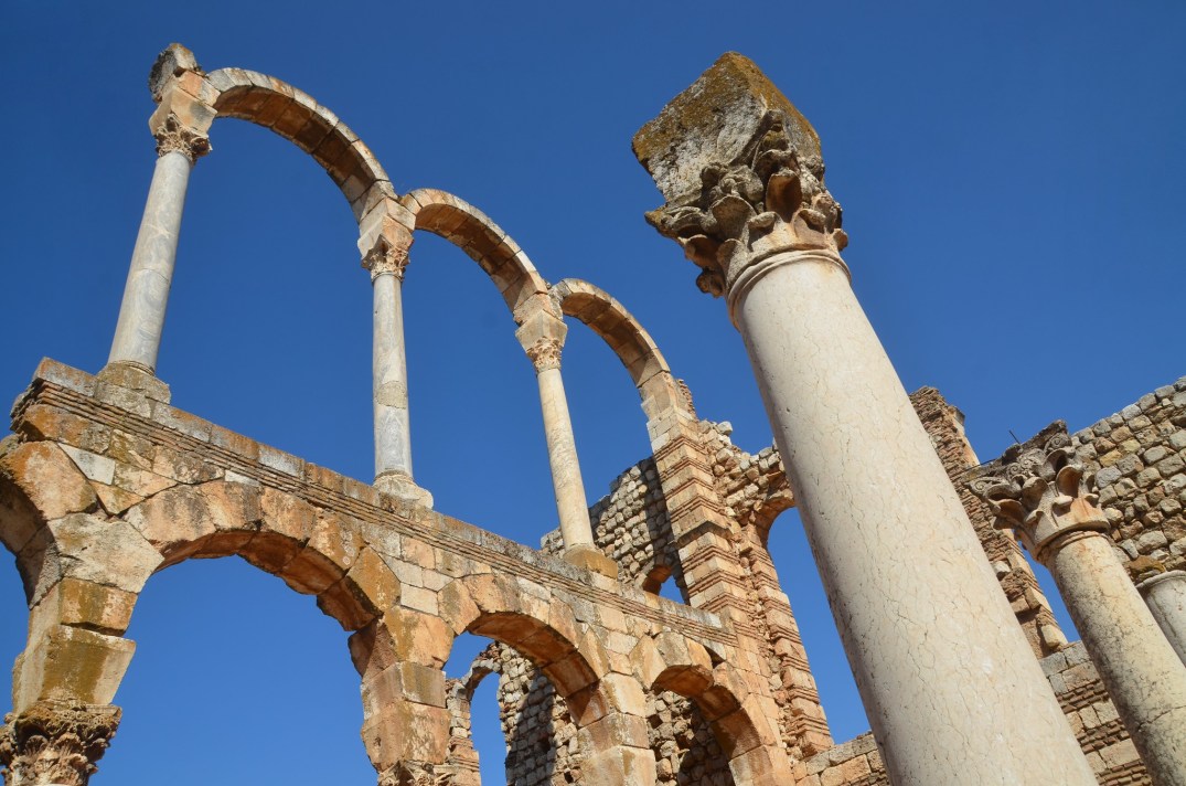
Founded during the eighth-century Umayyad Caliphate, the city of Anjar was an inland trading centre at the crossroads of two important routes: one connecting the Mediterranean coast with the Syrian interior and the other linking northern Syria with northern Palestine.
Anjar is one of five cultural UNESCO World Heritage Sites in Lebanon.
Archaeologists discovered the site at the end of the 1940s, revealing a fortified city that spans approximately 114,000 square meters and is surrounded by two-meter-thick walls. The city is divided into four equal quarters by two main streets: a 20-meter-wide north-south axis (cardo maximus) and a 20-meter-wide east-west axis (decumanus maximus). The layout features both private and public buildings organised according to a strict plan.
Key structures include the partially reconstructed Grand Palace, with a central courtyard surrounded by a peristyle; the Small Palace, known for its numerous ornamental fragments and intricately decorated central entrance; and a mosque between the two palaces, along with smaller harems and baths. A prominent feature of the ruins is a monumental Tetrapylon, consisting of four columns at the intersection of the two main streets. These structures include decorative and architectural elements that date back to the Roman era.
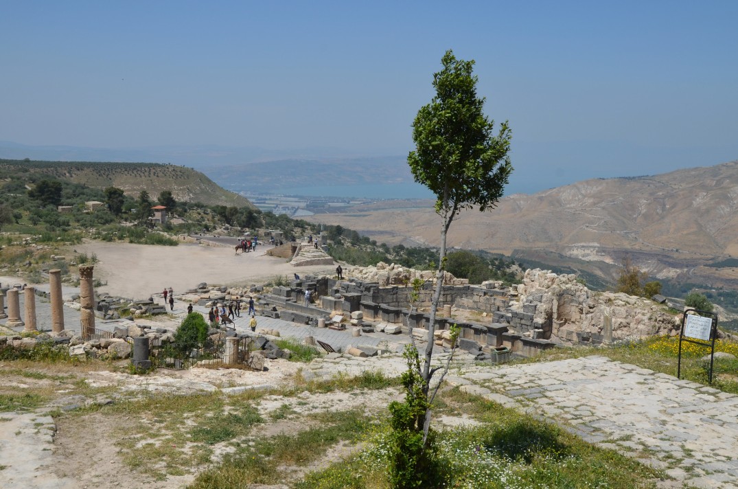
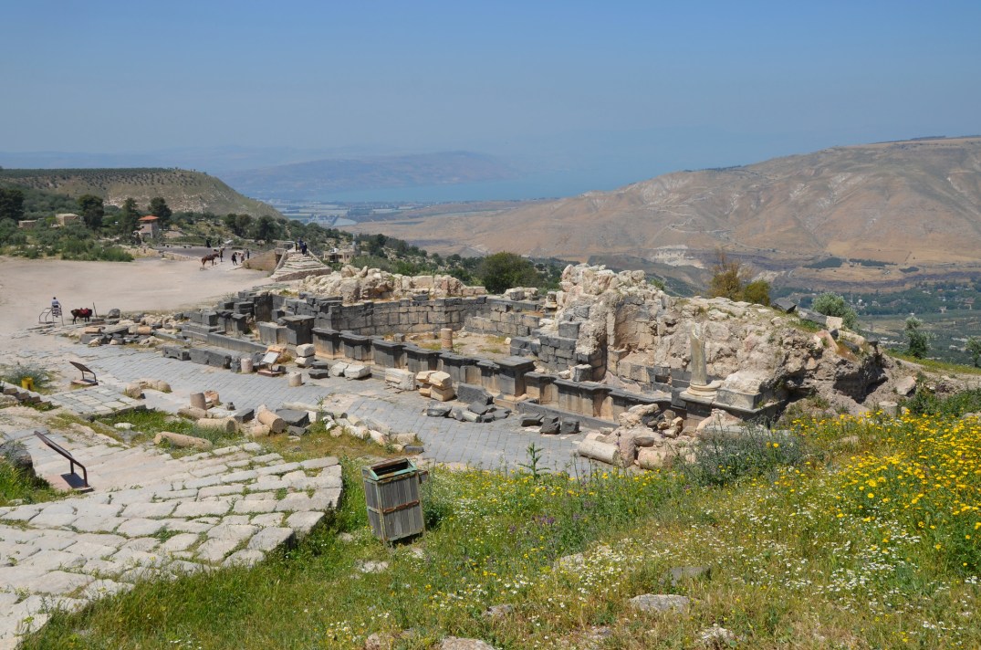
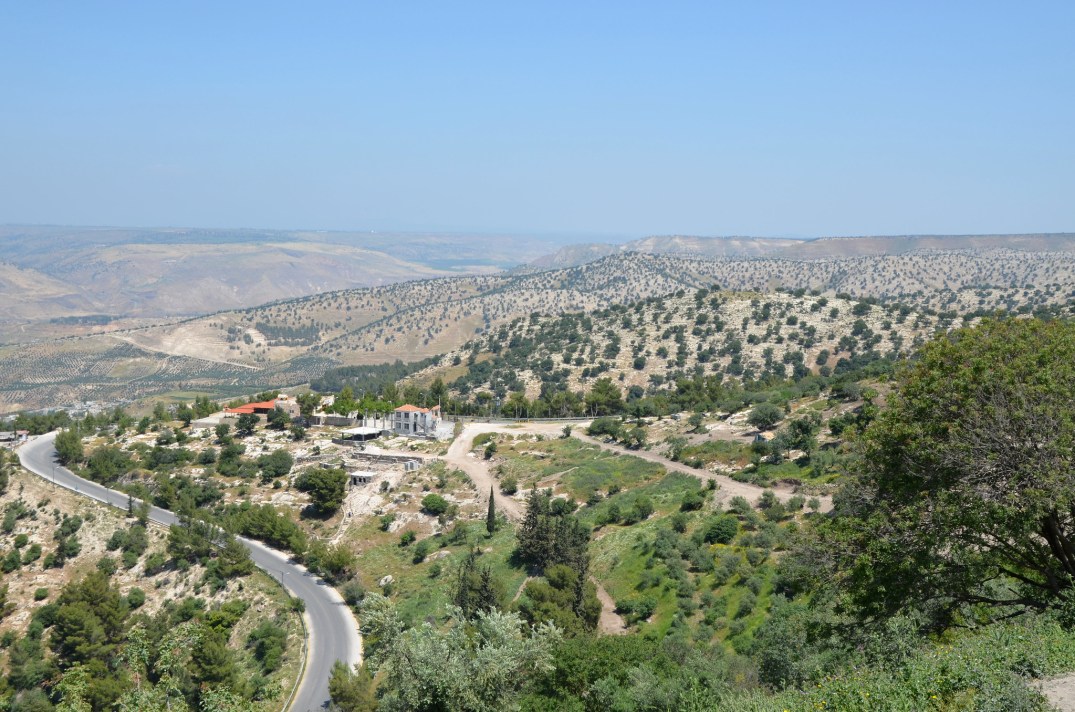
In the north-western corner of Jordan, 110 kilometres north of Amman in Jordan, are the ruins of the Decapolis city of Gadara, modern Umm Qais. Gadara is an ancient Hellenistic city founded by the Ptolemies as a frontier station on their border with the Seleucids to the north (gader meaning “boundary”). The site, situated on a broad promontory above the Jordan Valley, is striking for its spectacular panorama, with views over three countries (Jordan, Syria, and Israel), encompassing the Sea of Galilee and the southern end of the Golan Heights.
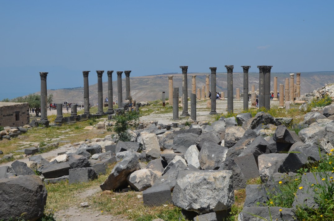
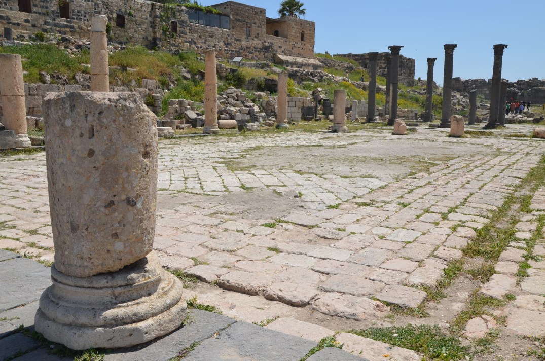
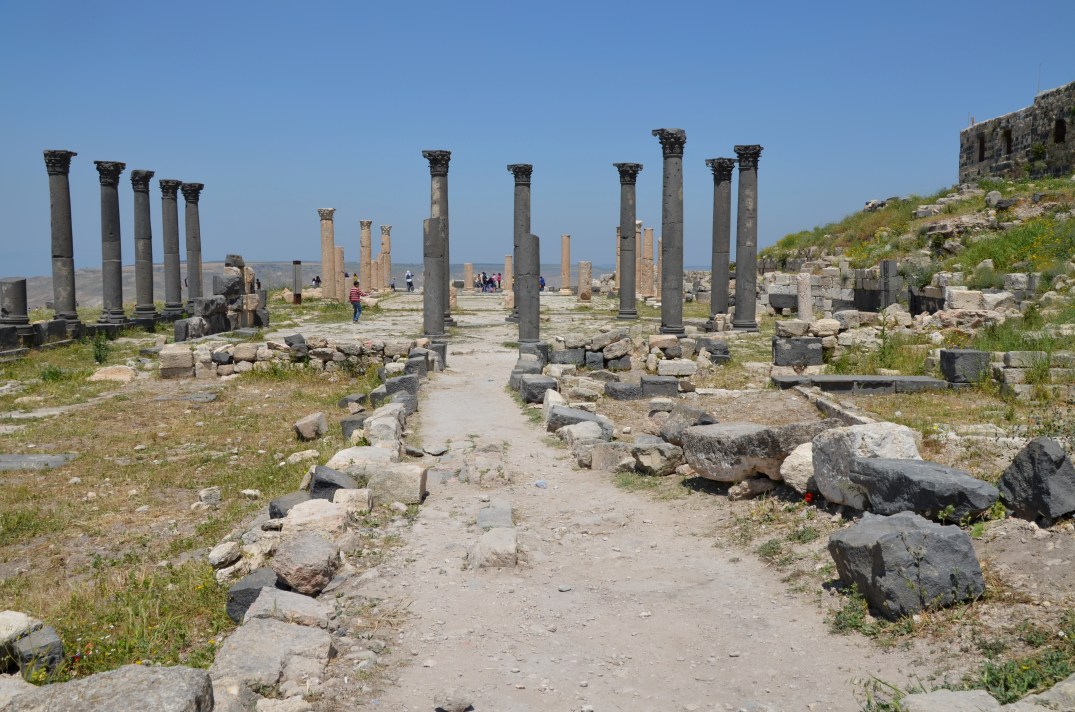
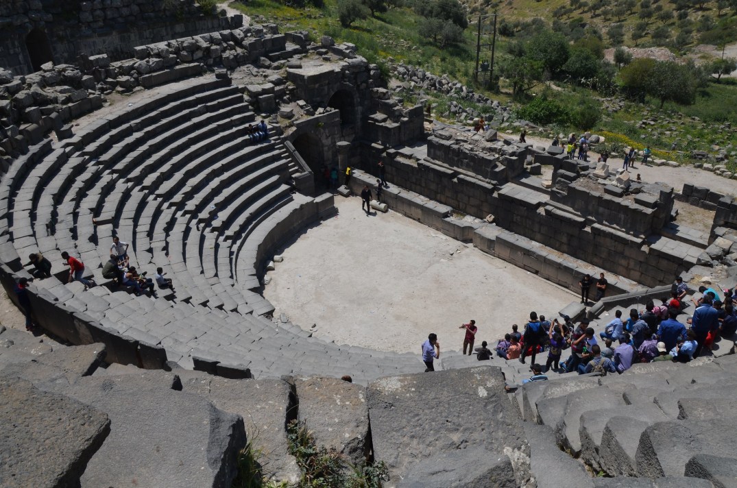
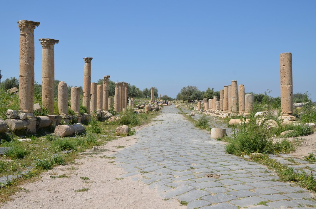
When Roman general Pompey conquered the region in 63 BC, he oversaw the rebuilding of Gadara and made it one of the semi-autonomous cities of the Roman Decapolis. Roman rule, particularly following Trajan’s annexation of the Kingdom of Nabatea in AD 106, brought stability and prosperity with large-scale public building works. Archaeological remains include Trajan’s basalt theatre, a church and a basilica, a nymphaeum, a temple and colonnaded streets (cardo and decumanus).
According to the Bible, Gadara is the spot where Jesus cast out the Devil from two madmen into a herd of pigs.
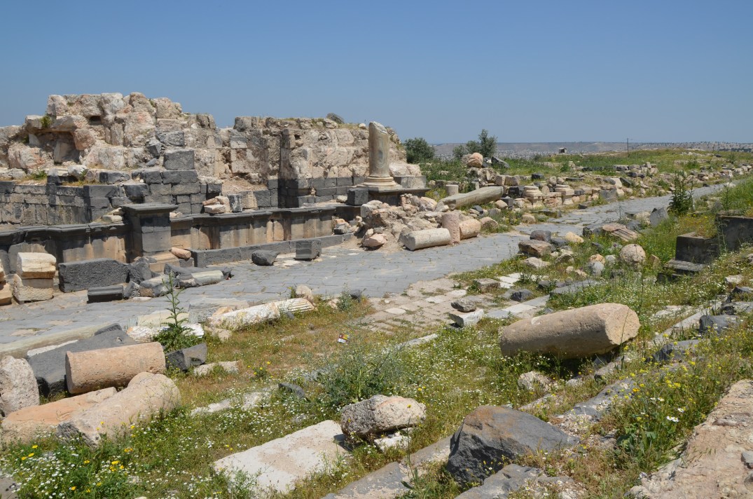
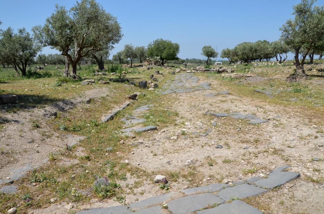
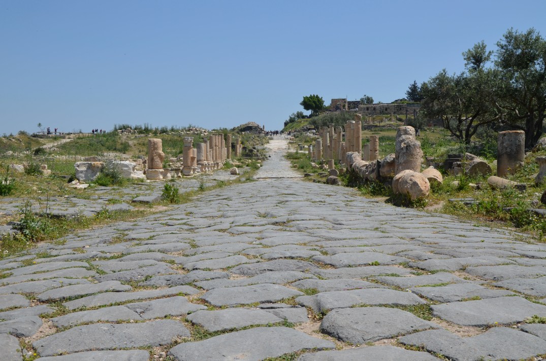
The Western Terrace comprises a columned courtyard, an octagonal central building, and a Three-Nave Basilica.The western terrace dates back to between the middle of the 7th and the middle of the 8th century AD.The Western Terrace.The Western Theatre dates to the late 2nd / early 3rd century AD. Built of basalt, it could seat about 3000 spectators.View of the Nymphaeum with the Golan Heights and the Sea of Galilee in the background.The Nymphaeum, probably built in the 2nd half of the 2nd century AD, stands on the northern end of the Decumanus Maximus.The 15-m-wide monumental public fountain was originally two-storey and decorated with sculptures.View of the Nymphaeum and the Decumanus Maximus.View over the Golan Heights with the Sea of Galilee in the background.The Decumanus Maximus is the main colonnaded street running east-west through the northern quarters of ancient Gadara.Around the mid-1st century AD, the first road section was paved with basalt slabs.An exedra building along the Decumanus Maximus
The Decumanus Maximus.The Decumanus Maximus.
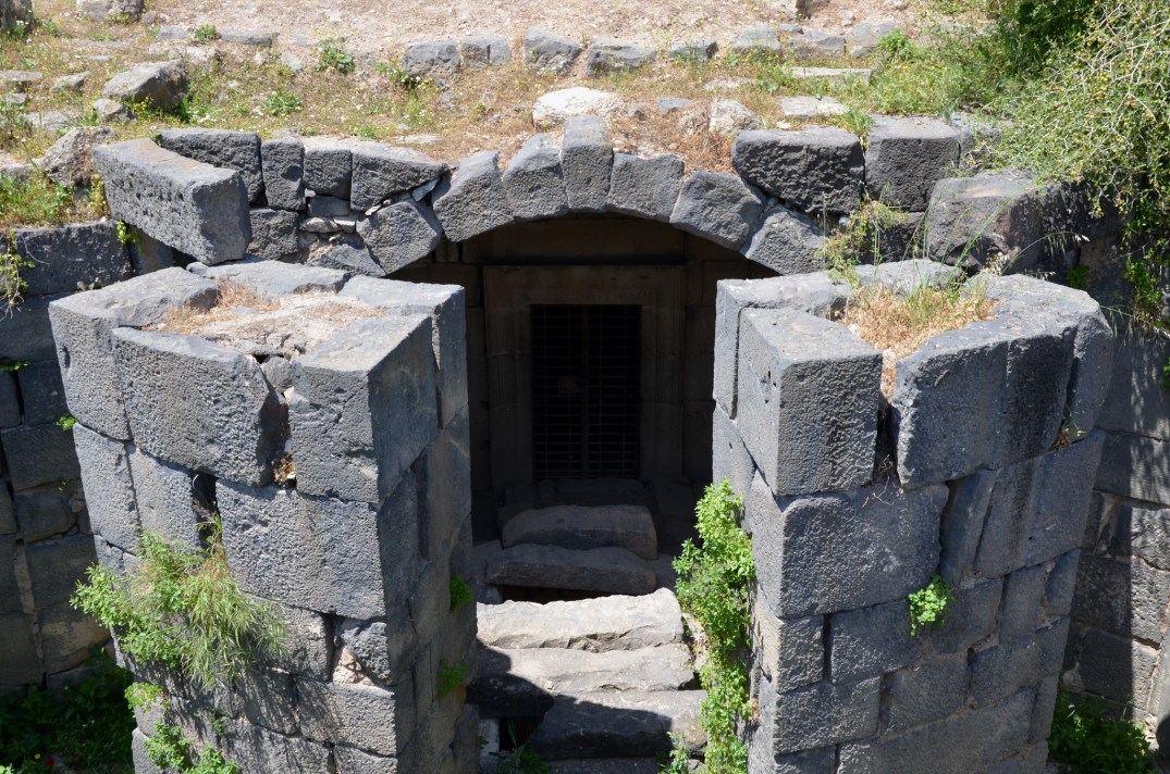
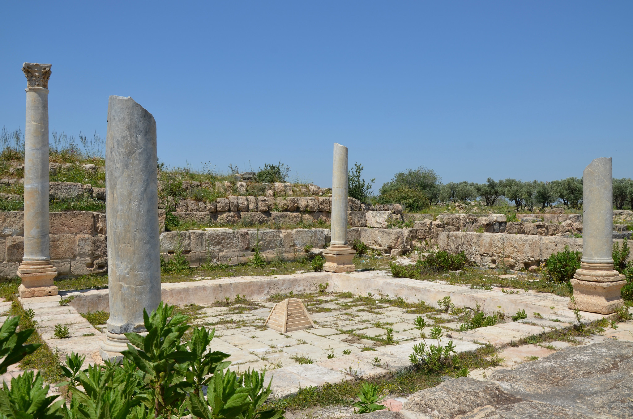
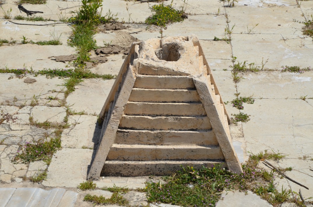
The Tiberias Gate is an isolated arch (5.20 m wide) that spanned the Decumanus Maximus and marked a former city boundary.The Tiberias Gate.A Roman hypogeum (underground tomb with vaults from pre-Christian times).View of the door to the hypogeum.The colonnaded courtyard of the macellum (market hall).The colonnaded courtyard of the macellum (market hall).The colonnaded courtyard of the macellum (market hall).The colonnaded courtyard of the macellum (market hall).A small, paved, open-air colonnaded courtyard with a small, stepped stone feature in the middle, possibly a pedestal, base, or installation associated with a fountain, altar, or commemorative monument.