Ambrussum

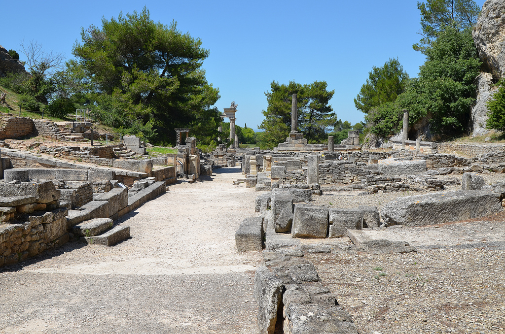
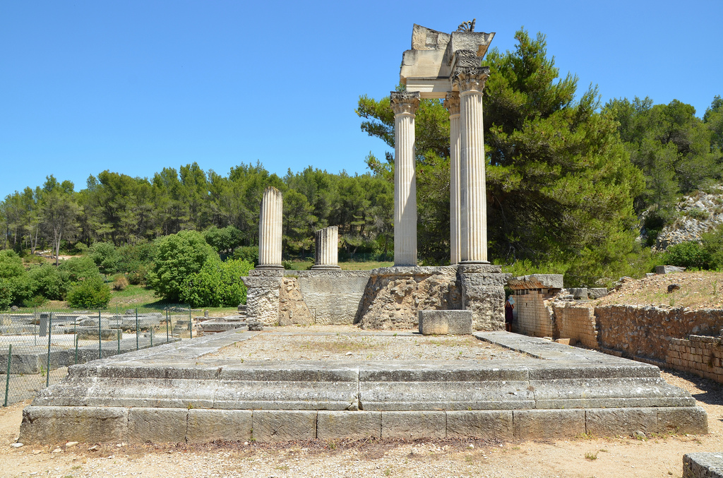
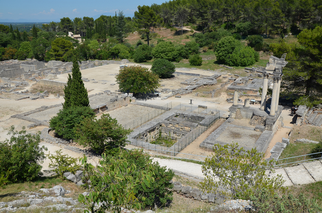
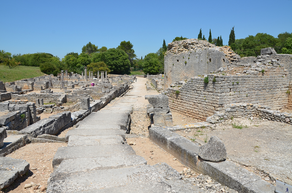
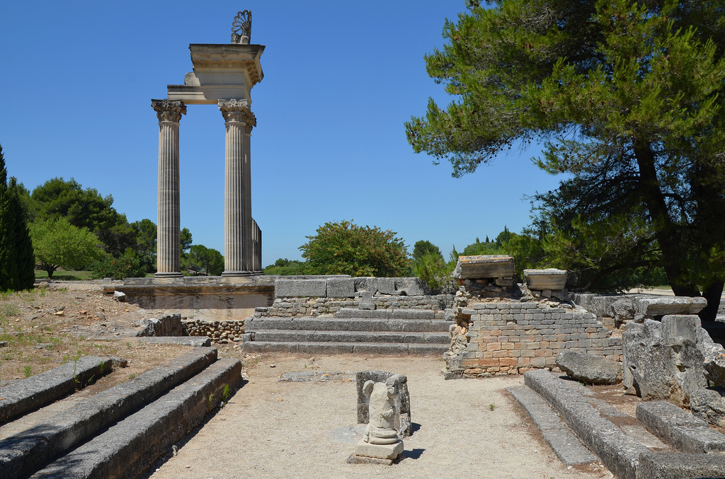
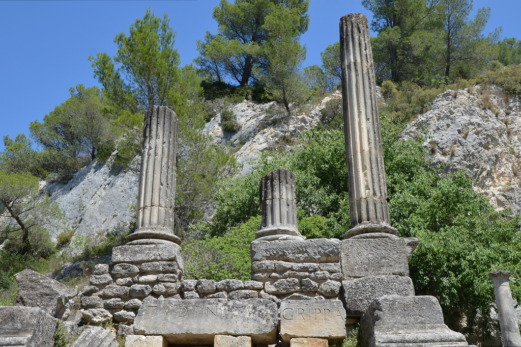
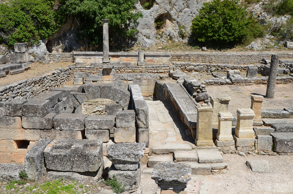
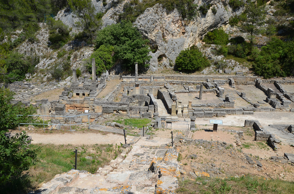
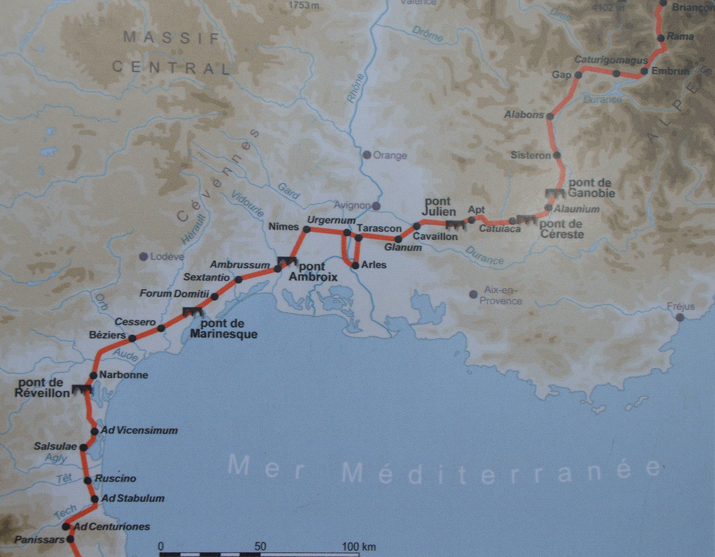
Ambrussum is a beautiful Gallo-Roman archaeological site which has revealed a great collection of buildings from the Gallic and Roman periods. It is close to the modern town of Lunel, located between Nîmes and Montpellier. The site is notable for its Iron Age settlement, its Roman staging post on the Via Domitia and its celebrated bridge spanning the Vidourle River, the Pont Ambroix.

Coordinates: 43° 43′ 12″ N, 4° 9′ 0″ E

Ambrussum

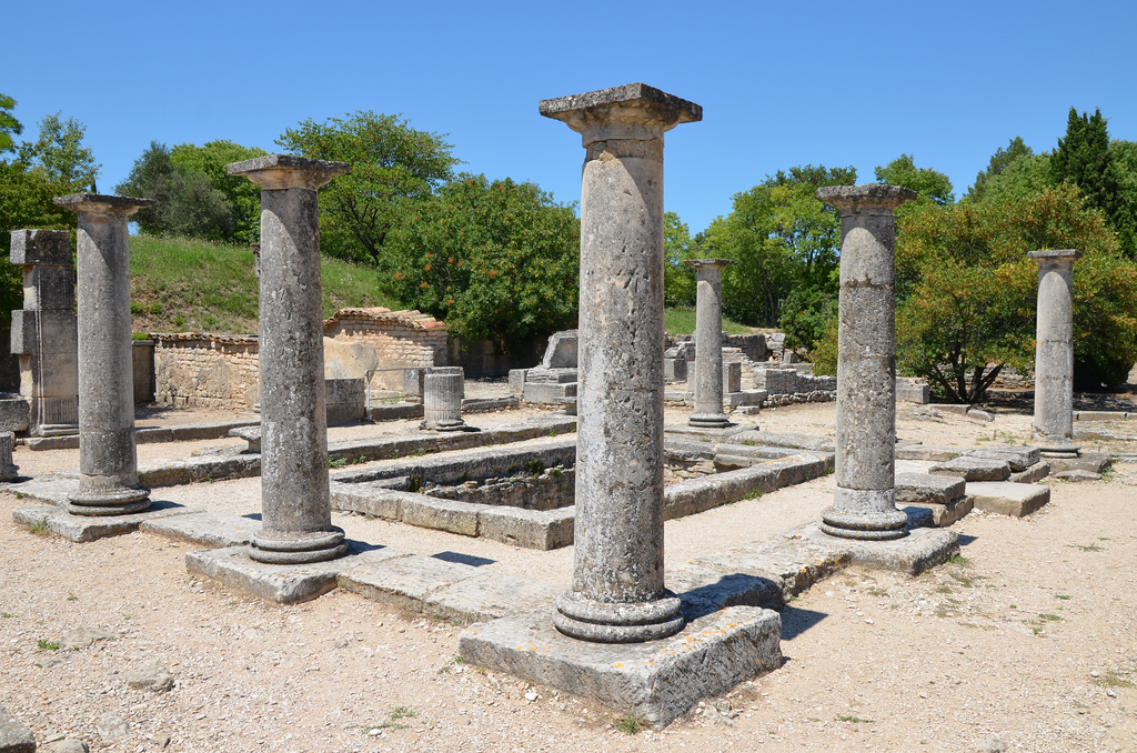
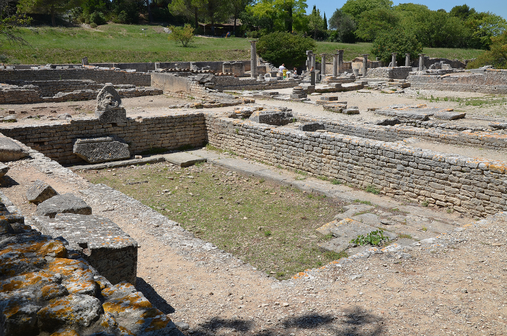
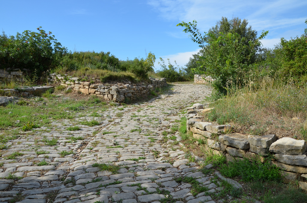
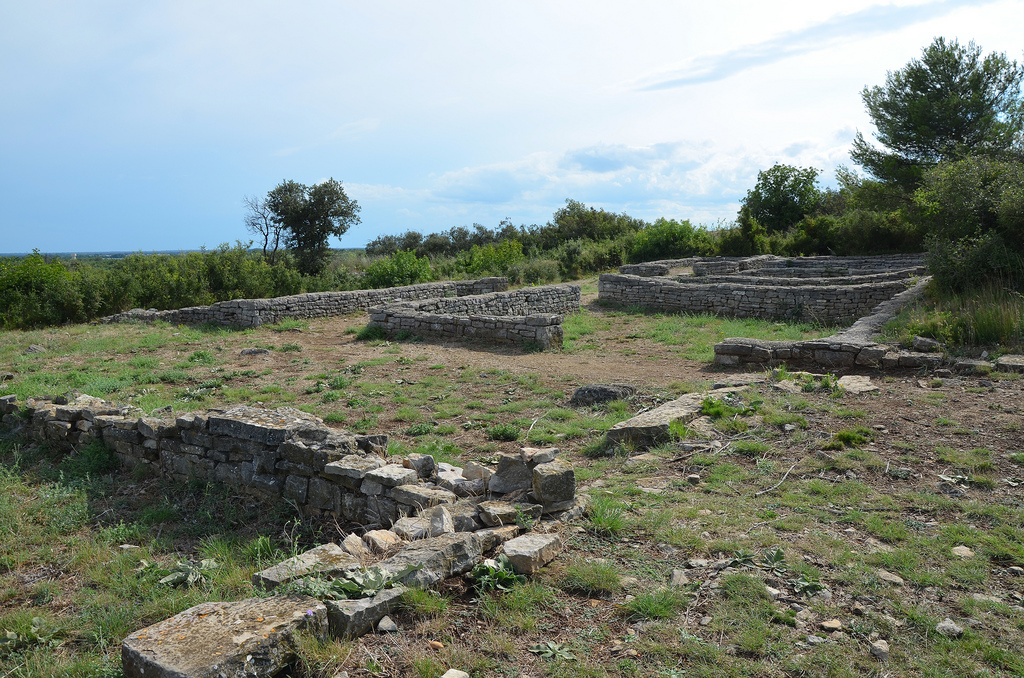
At the end of the fourth century BC a Gaulish tribe, the Volscians, settled and built a city surrounded by strong ramparts and towers (some of which can still be seen). The Romans conquered the area in 120 BC and the city grew rapidly. Thereafter, a new district was created next to the Vidourle River serving as a staging post for travelers (mansio). The Via Domitia, the oldest road built in France running from Alps to the Pyrenees, ran at the foot of the settlement. A paved road leading out of the settlement is visible along with the traces of Roman chariot tracks.

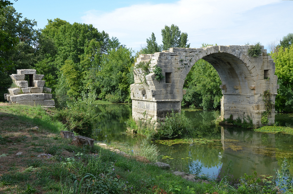
The Ambroix Bridge is unquestionably the most spectacular ruin of this ancient site. It is an impressive work of engineering, which allowed the Via Domitia to cross the Vidourle River. It is thought to have had 11 arches and to have been over 175 m (574 ft) in length. Unfortunately, the ravages of time and the numerous floods took out all but one arch. Two had stood as recently as 81 years ago — which are reflected in Gustave Courbet’s famous painting of the bridge — but a violent flood in 1933 left only one arch standing.
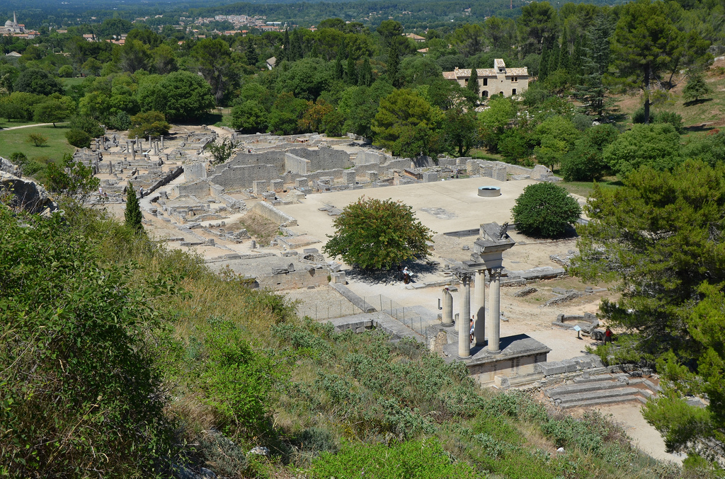
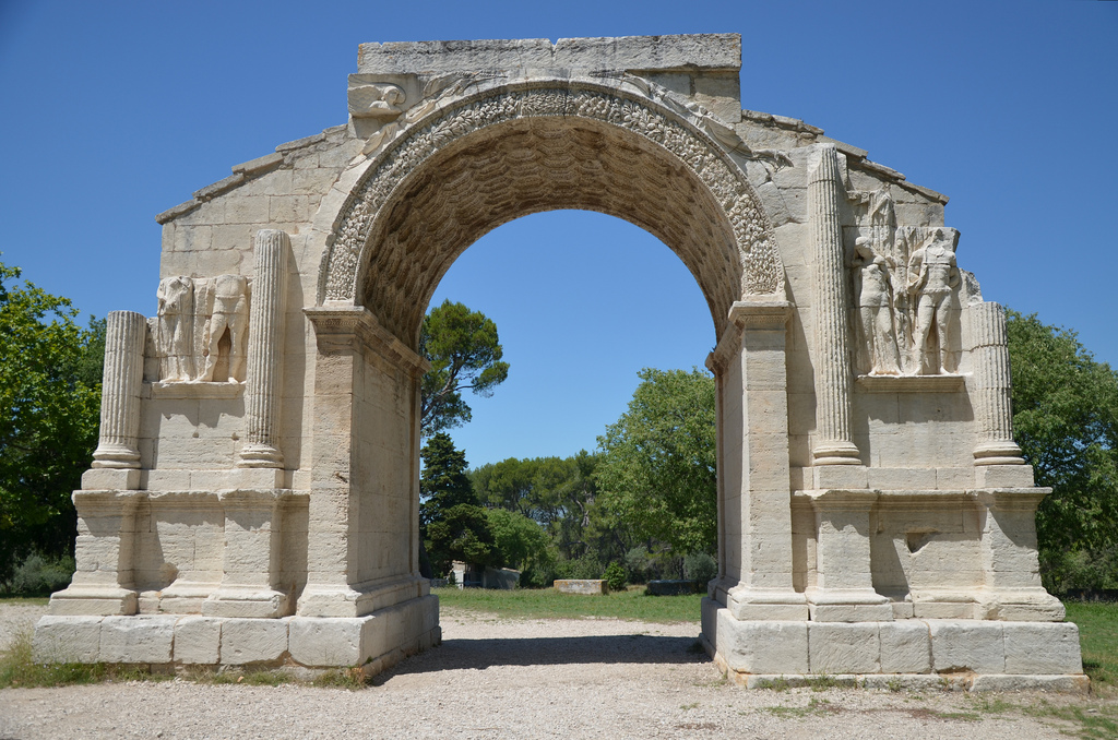
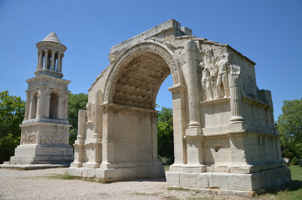
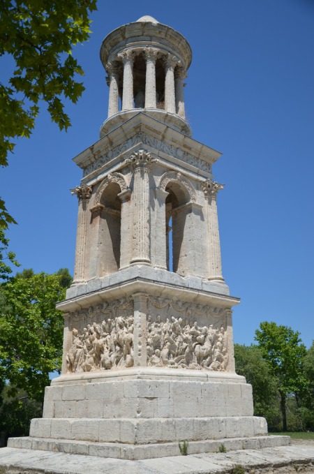
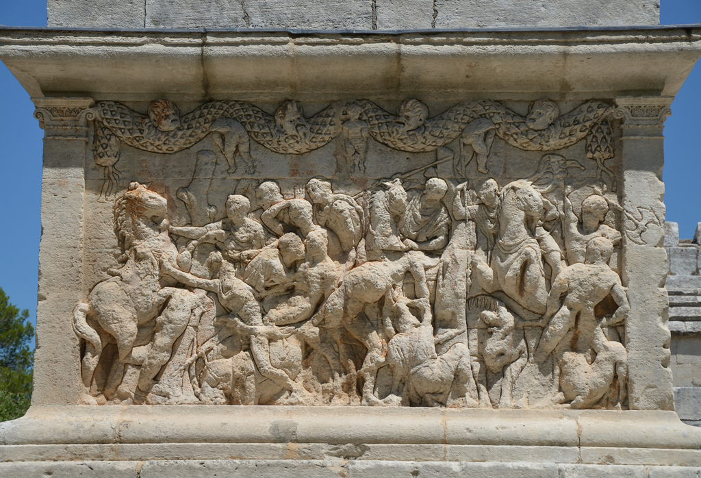
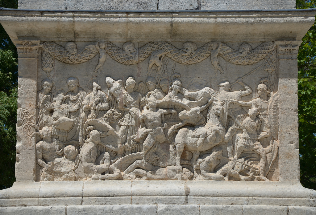
Portfolio

The remaining arch of Pont Ambroix, 1st century BC Roman bridge part of the Via Domitia.
A roadhouse along the Via Domitia dating back to around 30 BC, roadhouses were built every 10-15 kilometes along the Romans roads to allow travellers to rest.
The ruins of a roadhouse along the Via Domitia dating back to around 30 BC. Roadhouses were built every 10-15 kilometres along the Romans roads to allow travellers to rest.
The ruins of a roadhouse along the Via Domitia dating back to around 30 BC, roadhouses were built every 10-15 kilometres along the Romans roads to allow travellers to rest.
The ruins of a roadhouse along the Via Domitia dating back to around 30 BC. It contained everything needed to accomodate travellers: a hotel, several inns and a dwelling equipped with a forge for repairing vehicles, a bathouse and a small shrine.
The Via Domitia, the oldest road built in Gaul.
The paved way, the main artery of the city of Ambrussum.
The main artery of the settlement of Ambrussum was a paved road, dug out from deep ruts. Buildings (houses and shops) were built all along the sides of the road. The traces of Roman chariot tracks can still be seen.
The main artery of the settlement was a paved road, dug out from deep ruts. Buildings (houses and shops) were built all along the sides of the road.
The paved way at the south gate. The gates were enclosed within the city walls and served as the entrance to the city.
The terraced house in the northern district built in the Roman period.
A terraced house in the northern district built in the Roman period. Domestic life was organised around a courtyard bordered with an arcade. Each room had tiles floors and the walls were covered with painted plaster.
Another terraced house in the northern district built in the Roman period.
The ramparts of Ambrussum built in the late 4th century BC and modified in the mid-3rd century BC, they are the oldest visible remains on the hill, Oppidum of Ambrussum.
The ramparts of Ambrussum were built in the late 4th century BC and modified in the mid-3rd century BC. They are the oldest visible remains of the Oppidum.
Route of the Via Domitia.

See more images of Ambrussum on Flickr

Links:

Glanum

The impressive archaeological site of Glanum lies at the heart of the magnificent Alpilles mountains in Provence (southern France). It features the remains of important religious and civic monuments.

Coordinates: 43° 46′ 26″ N, 4° 49′ 57″ E

Originally a simple Gaulish settlement built by the Salluvii around a sacred spring in the 6th century BC, the city later expanded due to contact with the ancient Greeks. This resulted in the extension of the residential area and the construction of buildings in the Hellenistic style. In the Roman period, Glanum benefited from the creation of the via Domitia and became a Roman colony in the early years of Augustus‘ reign (27 BC-AD 14).

Today, Glanum is particularly known for two well-preserved Roman monuments of the first century BC, known locally as “Les Antiques”: a mausoleum (one of the best-preserved monuments from the ancient world) and a triumphal arch (one of the earliest built in France). The ruins of the residential area sit in a narrow valley sloping up from the north to the higher southern end. At the northern end was the residential quarter, with the public baths, and at the south end was the sacred quarter, with the spring and grotto. In the centre was the monumental quarter, the site of the forum and public buildings.

Portfolio

The Triumphal Arch of Glanum, built around 10-25 BC, Glanum
The Triumphal Arch of Glanum stood just outside the city’s northern gate and was the visible symbol of Roman power and authority. It was built between AD 10 and 25. The sculptures decorating the arch illustrated both Rome’s civilisation and her enemies’ dire fate.
The Mausoleum of the Julii and Triumphal Arch.
The Mausoleum of the Julii dating to about 40 BC, and the Triumphal Arch.
The Mausoleum of the Julii, dating to about 40 BC. It is one of the best preserved mausoleums of the Roman era.
The Mausoleum of the Julii, dating to about 40 BC. It is one of the best-preserved mausoleums of the Roman era.
The lowest part of the mausoleum is decorated with carved garlands of vegetation, theater masks and cupids or putti, and with mythical or legendary scenes.
The lowest part of the mausoleum is decorated with carved garlands of vegetation, theatre masks and cupids, and mythical or legendary scenes.
The lowest part of the mausoleum is decorated with carved garlands of vegetation, theater masks and cupids, and with mythical or legendary scenes.
The lowest part of the mausoleum is decorated with carved garlands of vegetation, theatre masks and cupids, and mythical or legendary scenes.
The House of the Antae, a Hellenistic-style residence with a peristyle of Tuscan columns and a basin to capture rainwater, Glanum
The House of the Antae is a Hellenistic-style residence with a peristyle of Tuscan columns and a basin to capture rainwater.
The Thermal Baths built around 75 BC and the House of the Antae in the background.
The Thermal Baths built around 75 BC, and the House of the Antae in the background.
Overview of Glanum.
Overview of Glanum.
One of the geminated temples which opened onto the forum.
One of the geminated temples that were identical in style and which opened onto the forum. They were both built in the early years of the reign of Emperor Augustus.
Overview of the Twin Temples and the Forum.
Overview of Glanum.
Overview of Glanum with the Curia on the right. The Curia was used as an assembly hall for local officials.
The Hellenistic Bouleteurion with the partially reconstructed temple in the background.
The Temple of Valetudo, dedicated to Valetudo, the Roman goddess of health, the inscription indicates that it was built by Agrippa, the future son-in-law of the Emperor Augustus.
The Temple of Valetudo is dedicated to Valetudo, the Roman goddess of health. The inscription indicates that it was built by Agrippa, the future son-in-law of Emperor Augustus.
The shrine devoted to Hercules, the guardian of springs, and six altars to Hercules, 2nd century AD.
The shrine is devoted to Hercules, the guardian of springs, and six altars to Hercules, 2nd century AD.
Overview of the Valley of the Sacred Spring.

See more images of Glanum on Flickr.

Links: