
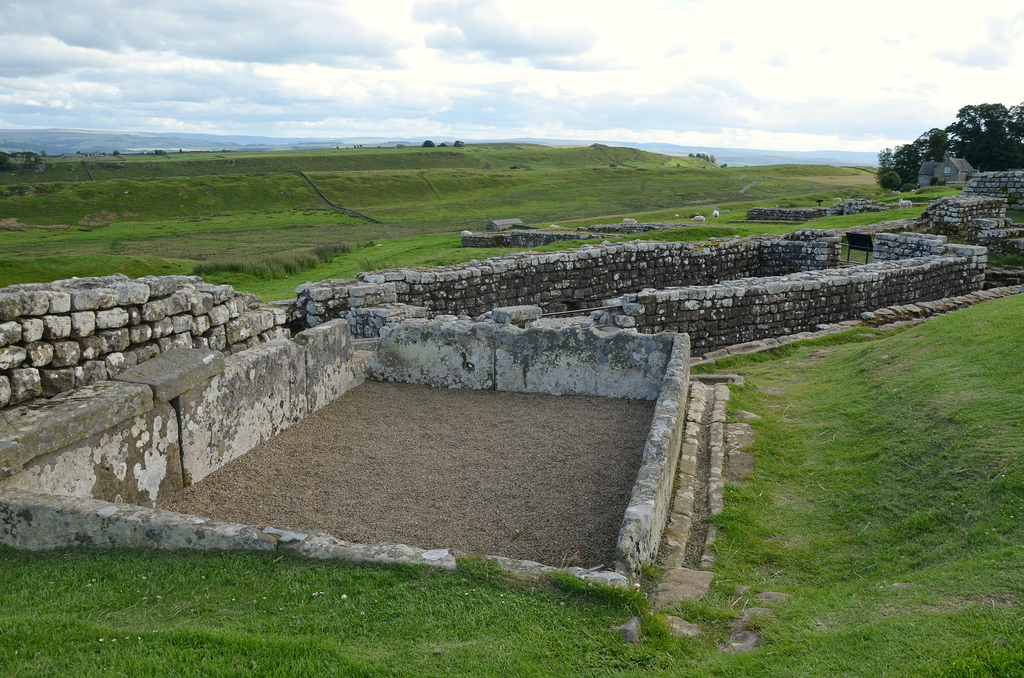
Housesteads Roman Fort is an auxiliary fort lying about midway along Hadrian’s Wall. It is the most complete example of a Roman fort in Britain, and one of the best-known and best preserved. It was built shortly after work on the Wall began and was garrisoned by an 800-strong infantry regiment for much of the period of Roman rule in Britannia. Excavations have revealed major buildings of different periods, defences and a civilian settlement outside its walls (vicus). The visible remains also include the finest preserved latrines known from Roman Britain.

Reconstruction drawing by Peter Urmston
Housesteads was built in stone by Roman soldiers around AD 124 over the original Broad Wall foundation and Turret 36B. It was a large fort covering 2.2 hectares and was arranged on a regular grid plan with a stone wall up to 5m high. Four gates led onto the streets that divided the fort into three areas. The central area contained administrative buildings, the headquarters (principia), the granaries (horrea) and a hospital (valetudinarium), as well as the commanding officer’s house (praetorium). On both sides of the central area were at least 10 barracks blocks where up to 800 soldiers lived, and also workshops and support buildings.
In the 2nd century AD, the garrison consisted of an unknown double-sized auxiliary infantry cohort and a detachment of legionarii from Legio II Augusta. From the late 2nd to the 4th centuries AD, the Cohors I Tungrorum (the first cohort of Tungrians, a German people from the region of Tongres, in modern Belgium) was stationed at Housesteads with additional units recruited beyond the Rhine frontier in Frisia, now north-east Holland.
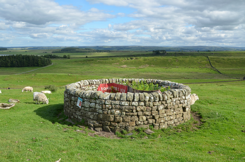
The vicus developed along the main military road outside the fort. However, it may not have been as long-lived as the fort. Archaeological evidence points to its abandonment around AD 270, though the temple area nearby probably continued into the 4th century AD. Temples and other buildings are known to have existed to the south of the vallum and a Mithraeum (temple dedicated to the god Mithras) was excavated to the west of it.

Reconstruction drawing by Peter Urmston
Housesteads was occupied until the end of the Roman period in Britain, shortly after AD 400, during which time many changes were made to the buildings and their use; the hospital and most of the granaries had been converted into living quarters.
Housesteads is probably the best preserved Roman fort on display in England. It has produced many significant archaeological finds including quantities of statuary, altars, inscriptions, pottery and small finds.
PORTFOLIO


Links:
